
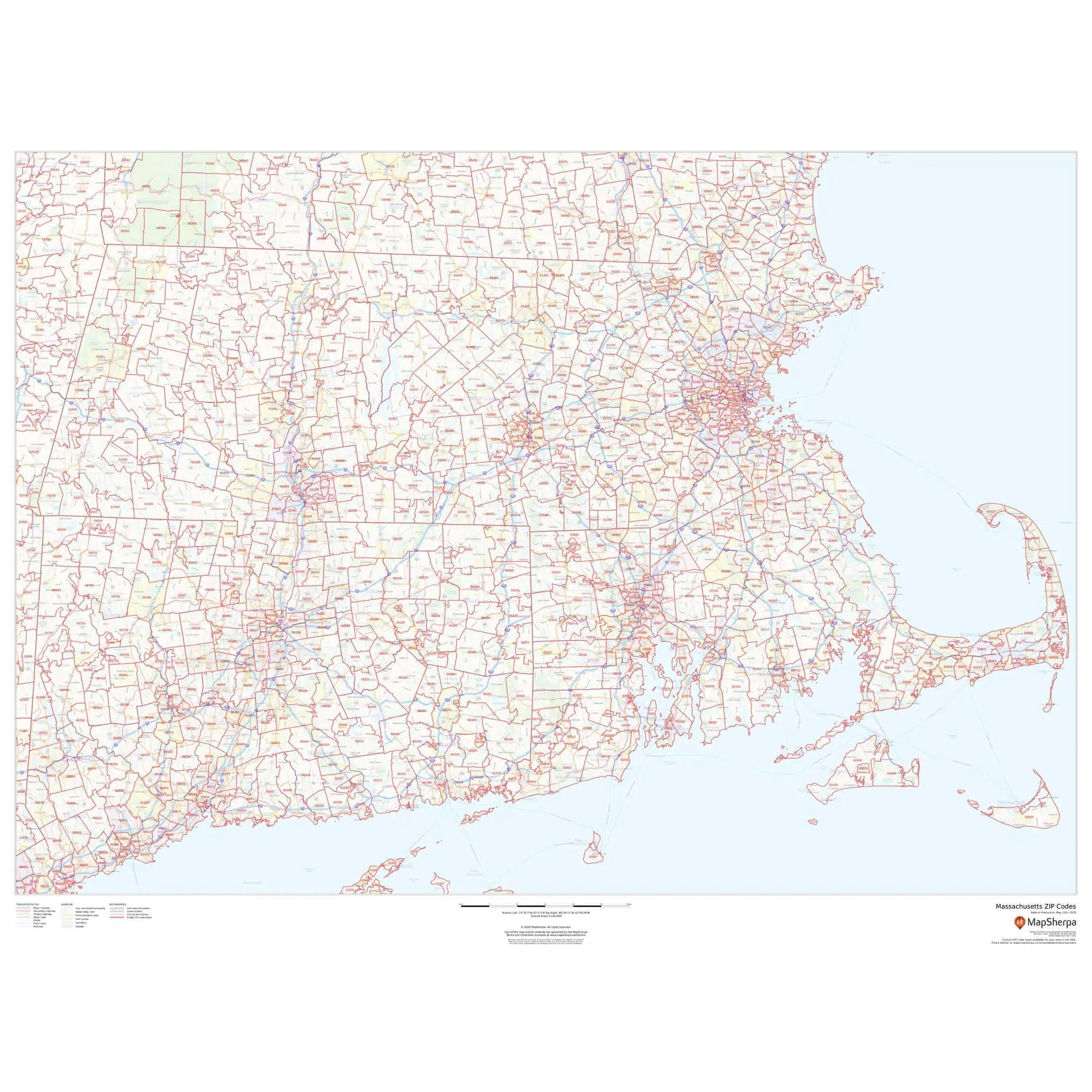
Massachusetts – Zip Code Map by Map Sherpa
Price range: $94.99 through $729.99
Shows zip codes overlaid on a road map.
Returns
We want you to love your map. If you aren't satisfied, returns are accepted within 30 days for unfinished products.* Please contact us within 30 days of receiving your product to receive a return authorization number. Please note that shipping costs are non-refundable unless we made a mistake with your order.
*Finished products such as railed, mounted, and framed maps are not returnable because we make these on-demand just for you and do not stock them. If you have any questions about whether your order qualifies for a return, please contact us.
Map Finishing Options
Transform your wall map into a ready-to-hang centerpiece! Our professional framing and railing services often cost less than visiting a local framer. Choose your finishing option during checkout and receive your map ready to display immediately and hassle-free.

Paper
Paper finish is our most economical option. Most maps are printed on premium 36 lb paper. Waterproof paper is also available for functional maps used outdoors.

Laminated
Maps are printed, then run through our laminator, which applies 1.7 mil satin lamination to the front and back. You can use map stickers and wet-erase markers.

Mounted
Maps are printed, then laminated with 1.7 mil satin lamination onto 1/4″-thick foam core. You can use map pins, stickers, or wet-erase markers on our mounted maps.

Laminated with Rails
We laminate the map, then attach wood rails at the top and bottom. The front of each rail has a black or walnut finish, while the sides and back are unfinished wood. Sawtooth hardware on the back of the top rail makes it ready to hang. You can use stickers or wet-erase markers on your laminated map. If you'd like to mark locations with map pins, we recommend a mounted or framed option.

Mounted with Rails
We laminate the map onto foam core, then attach wood rails at the top and bottom. The front of each rail has a black or walnut finish, while the sides and back are unfinished wood. Sawtooth hardware on the back of the top rail makes it ready to hang. You can use map pins, stickers, or wet-erase markers on your map. Unlike Laminated with Rails, this option lies clean and flat against the wall.

Framed
Maps are laminated onto foam core, then secured in the frame. The engineered molding is made from recycled wood in a black or walnut finish and wraps around the entire map. Most moldings are 2″ wide by 3/4″ deep, but maps 24″ x 36″ and smaller use a 1.25″-wide molding. You can use map pins, stickers, or wet-erase markers on all our framed maps. Ready-to-hang sawtooth hardware or wire hanging loops are included.

Gallery Wrapped Canvas
The map is printed on 21 mil, 2:1 poly/cotton matte canvas, then stretched over 1.5″-deep heavy wood stretcher bars. The corners are braced with additional bars, and hanging hardware is attached to the back so your piece is ready to hang.

Pull-Down Spring Roller
Maps are printed and laminated, then attached to a metal spring roller mounted on a powder-coated steel backboard. The roller and backboard slide onto a steel bracket that mounts to your wall. A pull-down bar lets you lower the map and retract it when you're done.