
I received the LA map today at my PO and it looks great. Best, Jerry
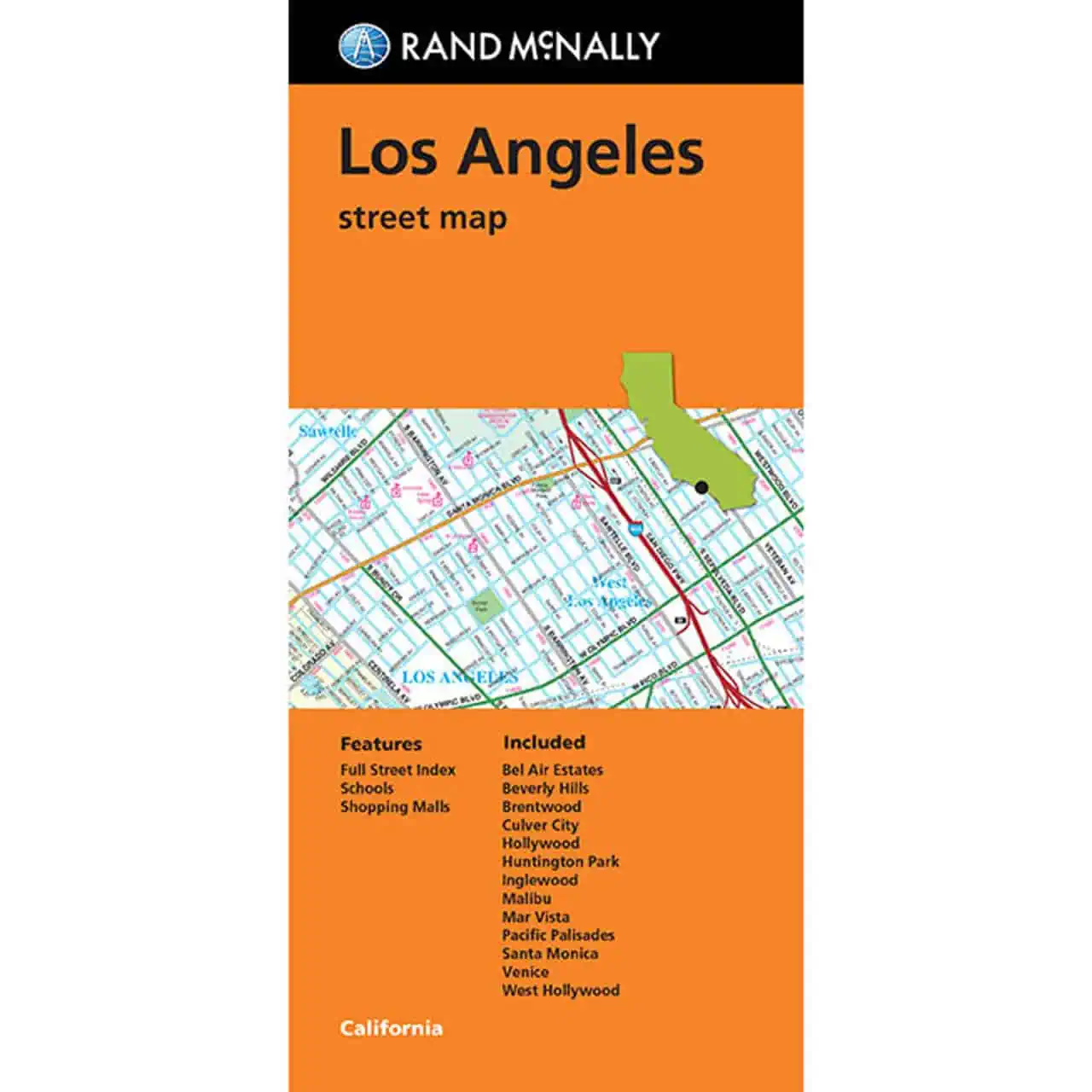
 Rand McNally – Los Angeles, CA – Folding Travel Map


$9.99
The durable and convenient Rand McNally maps will take all the wear and tear your journey can dish out.
In stock
Los Angeles, CA Folding Travel Map
A Rand McNally street map of Los Angeles that folds into a glove box and keeps working when GPS drops out. Rental car drivers, visitors, and families relocating to the Westside can plan routes on paper, not a phone screen.
Map Shop stocks this sheet for drivers who want a Los Angeles street map within reach of the driver’s seat.
| Publisher | Rand McNally |
|---|---|
| Language | English |
| Published | 2023 |
I received the LA map today at my PO and it looks great. Best, Jerry
Rand McNally – Los Angeles, CA – Folding Travel Map