
The maps are good. Thank you for providing them.
 Rand McNally – Iowa, Easy to Read – Folding Travel Map
$9.99
The durable and convenient Rand McNally maps will take all the wear and tear your journey can dish out.
In stock
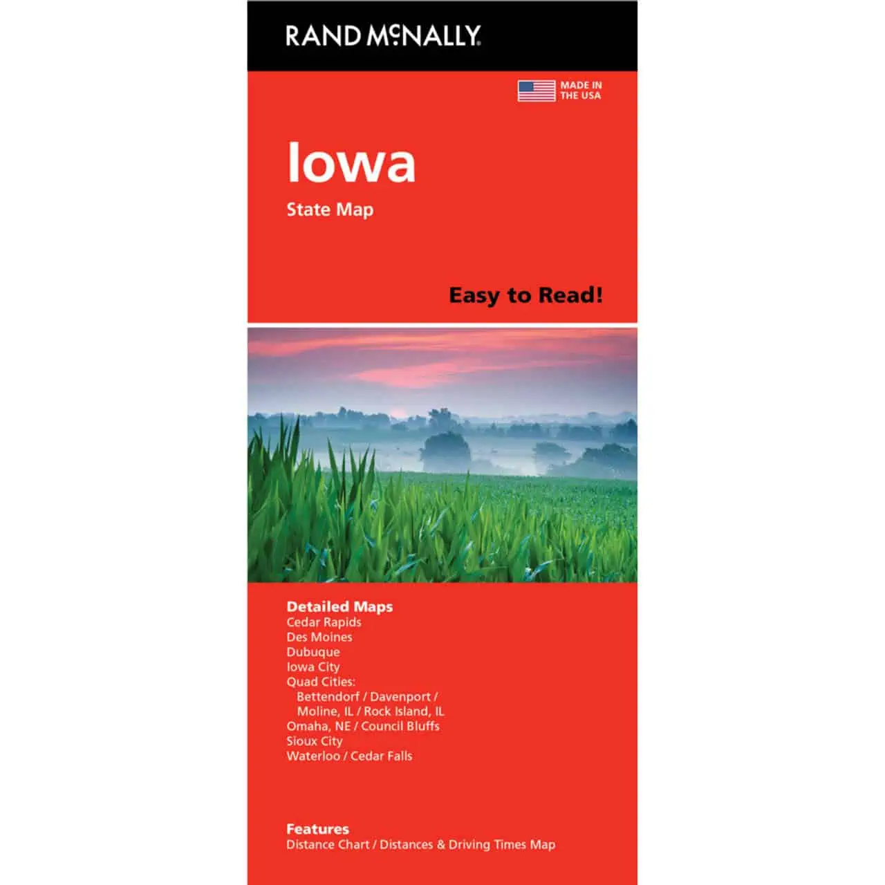
Iowa Easy to Read Folding Map
The Iowa Easy to Read folding map by Rand McNally features a larger map area and bigger type than the standard Rand McNally Iowa folded edition. It covers the whole state from the Missouri River to the Mississippi on one sheet.
Map Shop ships it ready to travel.
| Reporting Category | Retail |
|---|---|
| Product Category | Folding Maps |
| Average Cost | 3.596 |
| Label 0 - Google Product Category | LP – Travel Maps, Atlases & Books |
| Publisher | Rand McNally |
| Days to Ship | 3 |
| Print on Demand | NO |
| Size | 28" x 40" |
| Published | 2025 |
| Map Type | Folding Map |
The maps are good. Thank you for providing them.
Rand McNally – Iowa, Easy to Read – Folding Travel Map
5 star all the way! I was accidentally sent 2 MN maps when I needed a MS map too but Katie was a rockstar and extremely polite and sent me a MS map!! I have one more map to order yet and I will definitely be ordering from you guys again.
Rand McNally – Iowa, Easy to Read – Folding Travel Map