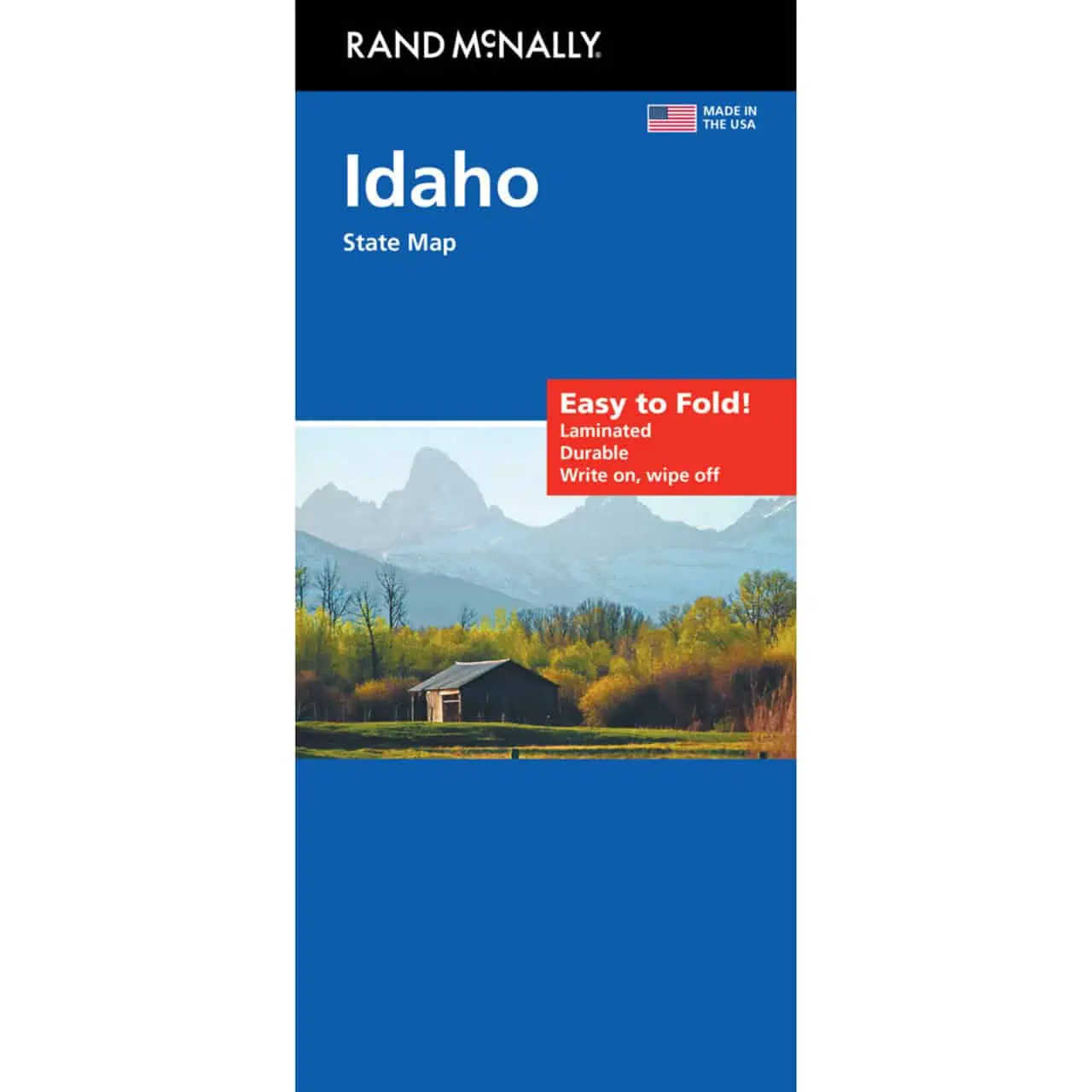
Rand McNally Easy to Fold Idaho Map
Idaho folding travel map from Rand McNally’s Easy to Fold line, covering the whole state from the Panhandle north of Coeur d’Alene down across the Snake River Plain to the Nevada and Utah borders.
- Territory: the entire state of Idaho, Panhandle to southern border
- Highways clearly marked, including main corridors like I-84, I-15, I-90, and US-95
- County boundaries shown statewide across Idaho’s 44 counties
- Points of interest marked throughout the state
- City index and quick-reference legend for finding towns like Boise, Idaho Falls, Pocatello, and Lewiston
- Full-color maps with enhanced cartography
- Easy to Fold format: panels fold to show one map section at a time, so there is no wrestling a full sheet in the cab
- Durable and tear resistant for repeated folding on long drives
- Useful where phone signal fades, such as mountain roads near the Sawtooths or the edges of the Frank Church wilderness
Map Shop stocks this map for Idaho residents and visitors alike.


