Rand McNally Charlotte Streets Folding Travel Map
$9.99
The durable and convenient Rand McNally maps will take all the wear and tear your journey can dish out.
In stock
Normally ships in: 2-3 days.
$9.99
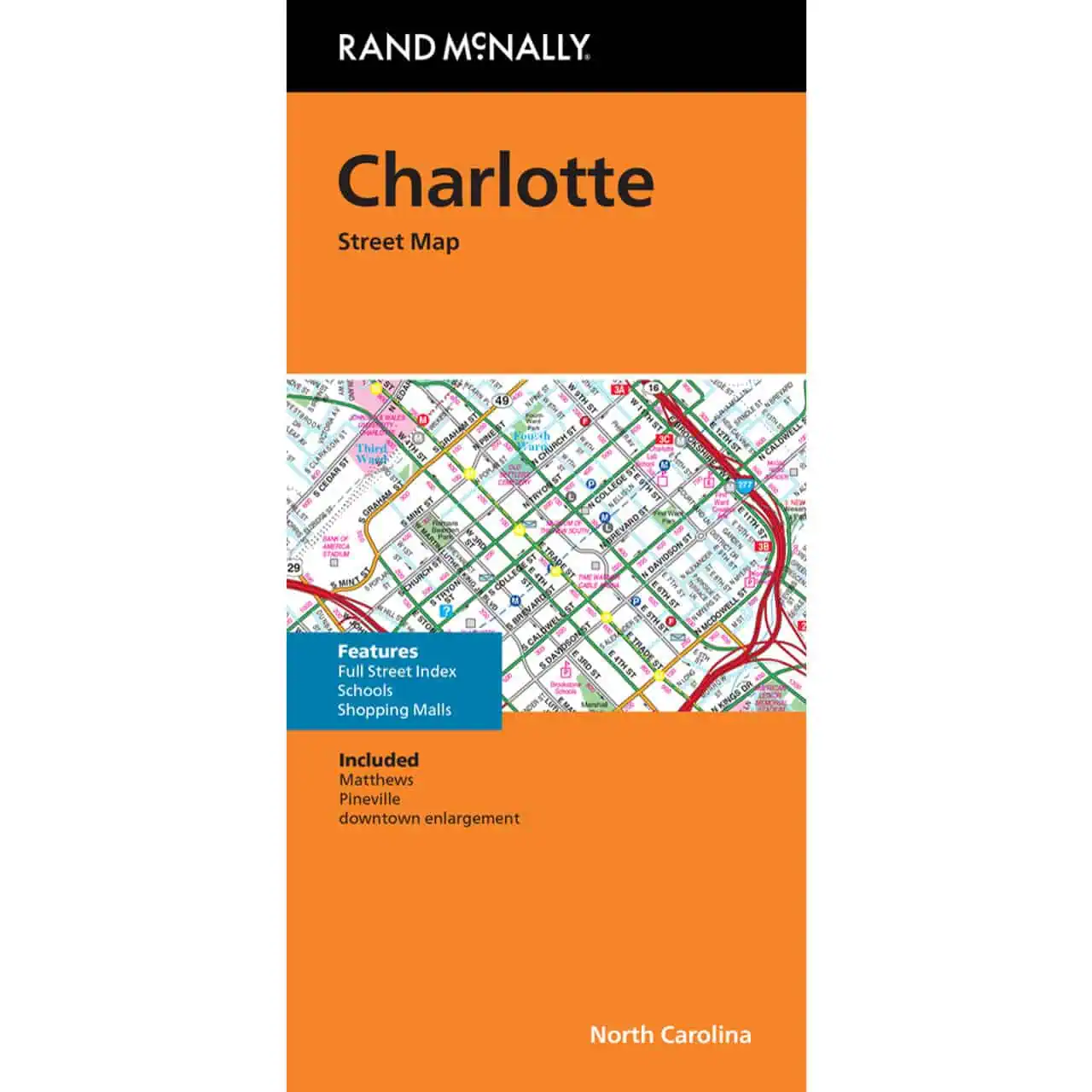
Charlotte NC street map by Rand McNally delivers full-color, large-format coverage of the city and surrounding North Carolina communities. Interstates, U.S. highways, state routes, and county roads are clearly labeled with Rand McNally’s trusted cartography. Airports, parks, points of interest, and county boundaries all stand out on the detailed layout.
A built-in street index and quick-reference legend help you locate any destination in seconds. The folding design isolates individual map sections so you only work with the area you need. Tear-resistant paper holds up through repeated use in a glovebox, backpack, or door pocket.
Cell signals drop across rural North Carolina, in tunnels, and along stretches outside the Charlotte metro. A printed road map fills that gap and shows you the full regional picture that no phone screen can replicate. Map Shop carries the complete Rand McNally folding map series for reliable navigation across the U.S.
| Publisher | Rand McNally |
|---|---|
| Language | English |
| Published | 2024 |