
Great service.
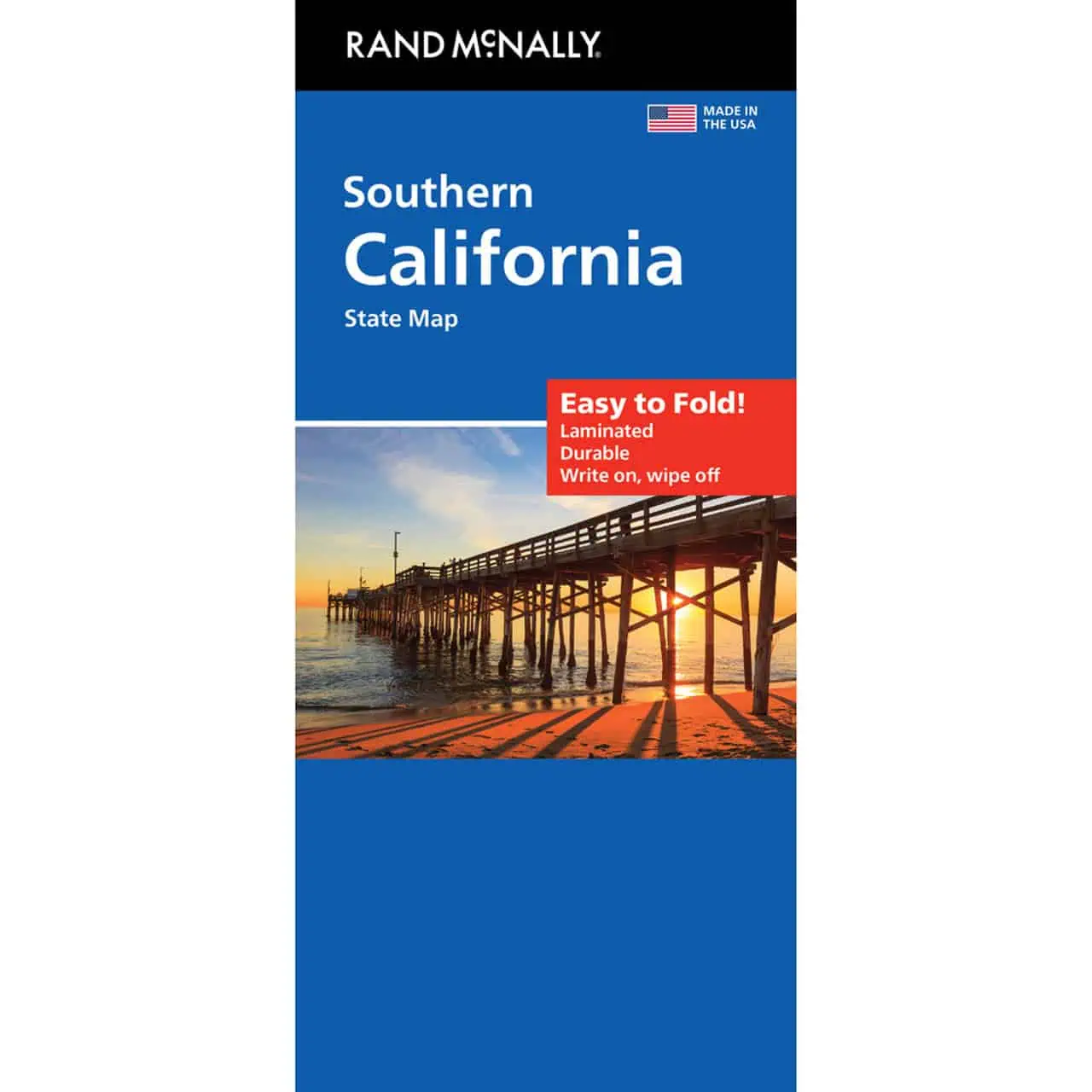
 Rand McNally – Southern California, Easy To Fold – Folding Travel Map


$10.99
The durable and convenient Rand McNally maps will take all the wear and tear your journey can dish out.
Publication: 2022 || Size: 18″ x 17″
In stock
Rand McNally Easy To Fold Southern California Road Map
A road map of Southern California showing the region’s freeways and back roads on one sheet. It keeps working where cell service fades, from desert highways to canyon roads.
Map Shop carries the full Rand McNally Easy To Fold line for drivers who still want paper on the passenger seat.
| Reporting Category | Retail |
|---|---|
| Product Category | Folding Maps |
| Average Cost | 4.496 |
| Label 0 - Google Product Category | LP – Travel Maps, Atlases & Books |
| Publisher | Rand McNally |
| Days to Ship | 3 |
| Print on Demand | NO |
| Size | 18" x 17" |
| Published | 2023 |
| Map Type | Folding Map |
Great service.
Rand McNally – Southern California, Easy To Fold – Folding Travel Map
Good, quick, efficient T U 🙂
Rand McNally – Southern California, Easy To Fold – Folding Travel Map
The maps were very high quality and came in a timely matter. Also, will be ording more soon for a trip I'm taking across the US.
Rand McNally – Southern California, Easy To Fold – Folding Travel Map
The new map arrived and looks great! Thank you for sending it out so quickly. And thanks again for the quick support.
Rand McNally – Southern California, Easy To Fold – Folding Travel Map