
You get 5-stars on all maps I ordered. Thx you so much and I will definitely order any future maps I need from you. Thx for being expedient in delivering the product!
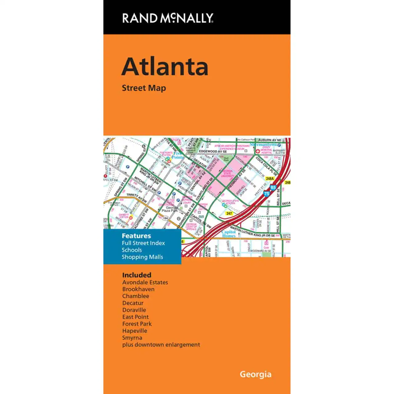
 Rand McNally – Atlanta, GA – Folding Travel Map
$9.99
The durable and convenient Rand McNally maps will take all the wear and tear your journey can dish out.
In stock
Rand McNally Atlanta Folding Map
A street map covering Atlanta and its close-in suburbs, with a full street index for quick address lookups. Plan routes across metro Atlanta on paper, with no cell signal required.
Map Shop stocks this map as a dependable paper reference for getting around metro Atlanta.
| Reporting Category | Retail |
|---|---|
| Product Category | Folding Maps |
| Average Cost | 4.046 |
| Label 0 - Google Product Category | LP – Travel Maps, Atlases & Books |
| Publisher | Rand McNally |
| Days to Ship | 3 |
| Print on Demand | NO |
| Size | 28" x 40" |
| Published | 2024 |
| Map Type | Folding Map |
You get 5-stars on all maps I ordered. Thx you so much and I will definitely order any future maps I need from you. Thx for being expedient in delivering the product!
Rand McNally – Atlanta, GA – Folding Travel Map