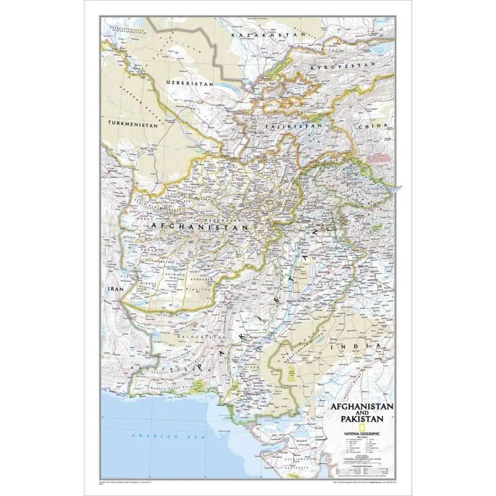
Afghanistan and Pakistan Wall Map
Few borders in the world get argued over more than the ones drawn across this corner of Asia. National Geographic’s Afghanistan and Pakistan wall map handles them with care, showing political boundaries across the region including the disputed area of Kashmir, and extending well past the two title countries into Tajikistan and parts of Turkmenistan, Uzbekistan, Kyrgyzstan, China, India and Iran.
This is a Classic style sheet: bright color, precise shaded relief that lifts the Hindu Kush and Karakoram off the page, clean borders and legible type. Thousands of cities and towns are named, alongside mountain ranges, national parks, glaciers, swamps, areas of sand, oil fields, highways and secondary roads, international and domestic airports, canals, railroads and waterways down to intermittent streams and dry salt lakes.
Newsrooms, government affairs offices, university departments and briefing rooms use it as a working reference. Map Shop offers it in the following formats:
- Paper
- Laminated for wet-erase markers
- Mounted to foam core
- Railed
- Framed




