

St. Louis, MO Folding Travel Map
$9.99
The durable and convenient Rand McNally maps will take all the wear and tear your journey can dish out.
In stock
Normally ships in: 2-3 days.
$9.99
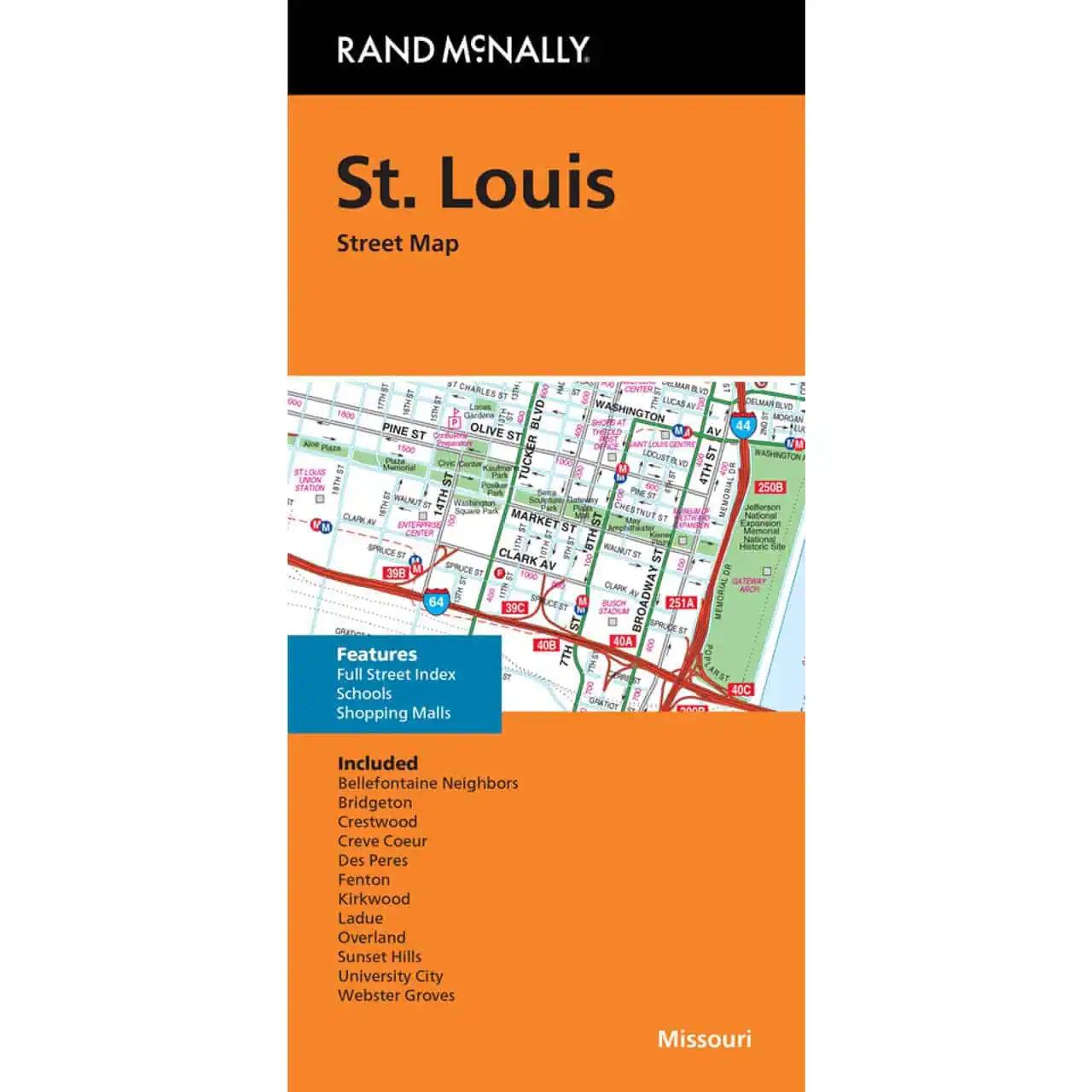
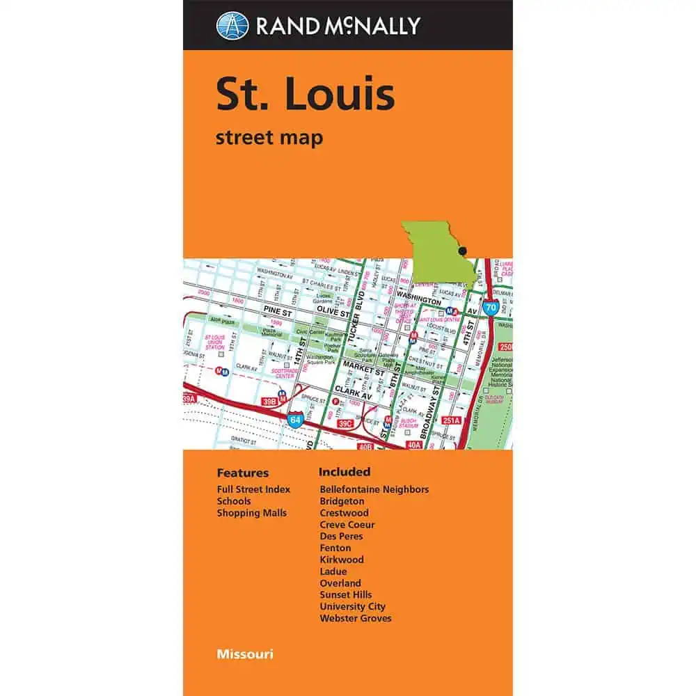
St. Louis, MO Folding Travel Map from Rand McNally is a printed, full-color folded map covering St. Louis and the wider Missouri metro. Interstate, U.S., state, and county highways appear with full road labeling, alongside the parks, airports, schools, shopping malls, and county boundaries that travelers actually look up on a trip.
A downtown and vicinity inset breaks out the city core, and the full street index plus easy-to-use legend keeps lookups fast.
What the map shows:
Common uses include weekend road trips through Missouri, business travel into St. Louis, RV routing across the Midwest, and a backup reference for drivers heading into low-signal areas where GPS apps stall.
Map Shop stocks Rand McNally folded maps across hundreds of U.S. cities, with regular updates that keep road networks current. Add this St. Louis edition for a printed reference that works on the dash, in the door pocket, or on a hotel table without a battery, app, or signal bar.
| Publisher | Rand McNally |
|---|---|
| Language | English |
| Published | 2024 |