
You got it right!!!
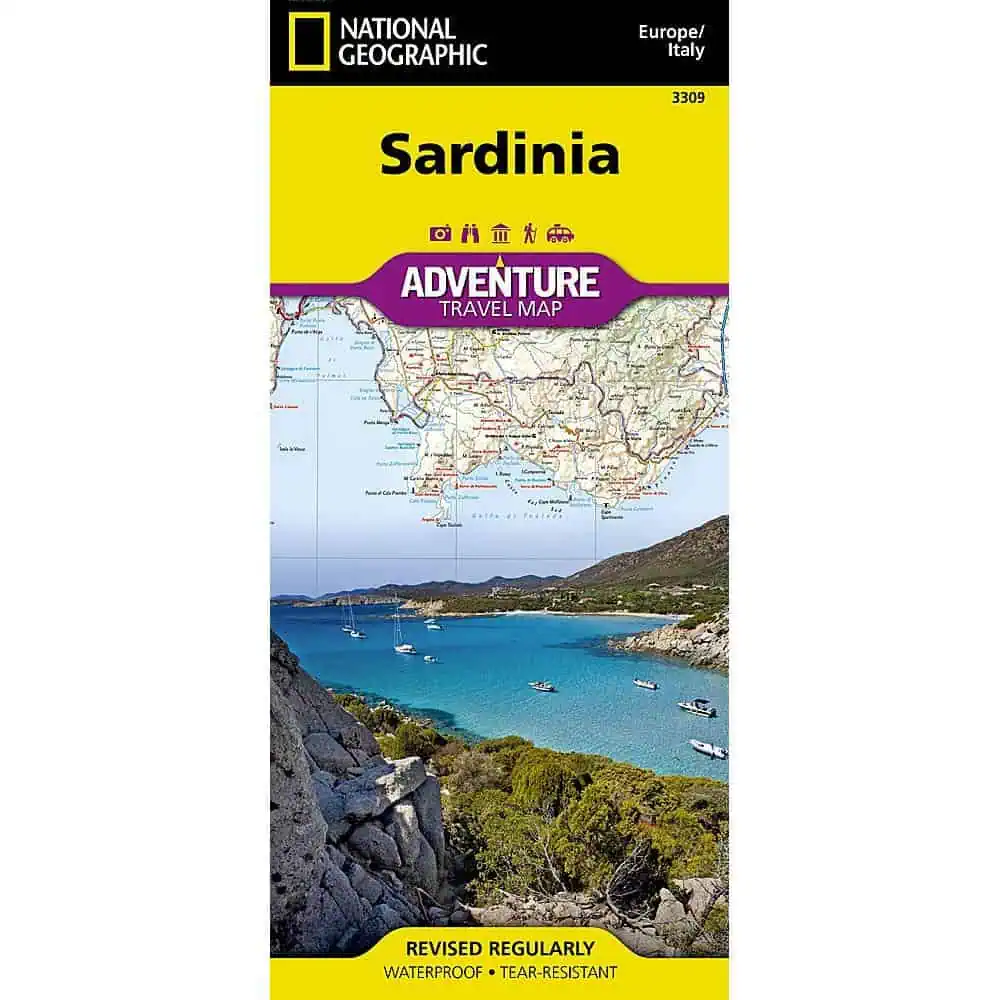
 National Geographic – Sardinia [Italy] – Adventure Folding Travel Map



$14.95
National Geographic’s Sardinia Adventure Map provides global travelers with the perfect combination of detail and perspective in a highly functional travel tool.
Publication: 2019 || Size: 37.75″ x 25.5″
In stock
Sardinia Adventure Map – National Geographic
National Geographic’s Adventure series map of Sardinia covers Italy’s second-largest Mediterranean island across two printed sides, useful for planning drives between the coast and the mountainous interior, including stretches where phone signal drops out.
Map Shop carries this map for travelers who want a full view of the island at once, something a phone screen cannot show.
| Publisher | National Geographic |
|---|---|
| Language | English |
| Print Series | |
| Published | 2019 |
You got it right!!!
National Geographic – Sardinia [Italy] – Adventure Folding Travel Map
Great map and great service
National Geographic – Sardinia [Italy] – Adventure Folding Travel Map