

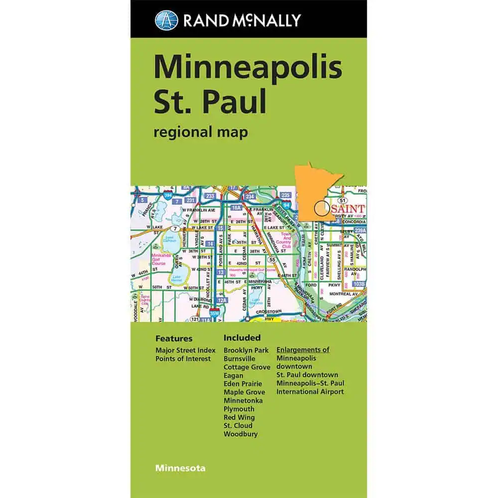


Rand McNally – Minneapolis/St. Paul, MN Regional Folding Travel Map
$9.99
The durable and convenient Rand McNally maps will take all the wear and tear your journey can dish out.
In stock
Normally ships in: 2-3 days.
$9.99
Minneapolis St. Paul Regional Map
A Rand McNally map covering the Twin Cities metro and the wider region from St. Cloud in the northwest to Red Wing in the southeast.
| Publisher | Rand McNally |
|---|---|
| Language | English |
| Print Series | |
| Published | 2024 |