
Excellent job.... in fact I'm gonna order several other maps....
 Rand McNally – Michigan, Easy to Fold – Folding Travel Map




$10.99
The durable and convenient Rand McNally maps will take all the wear and tear your journey can dish out.
In stock
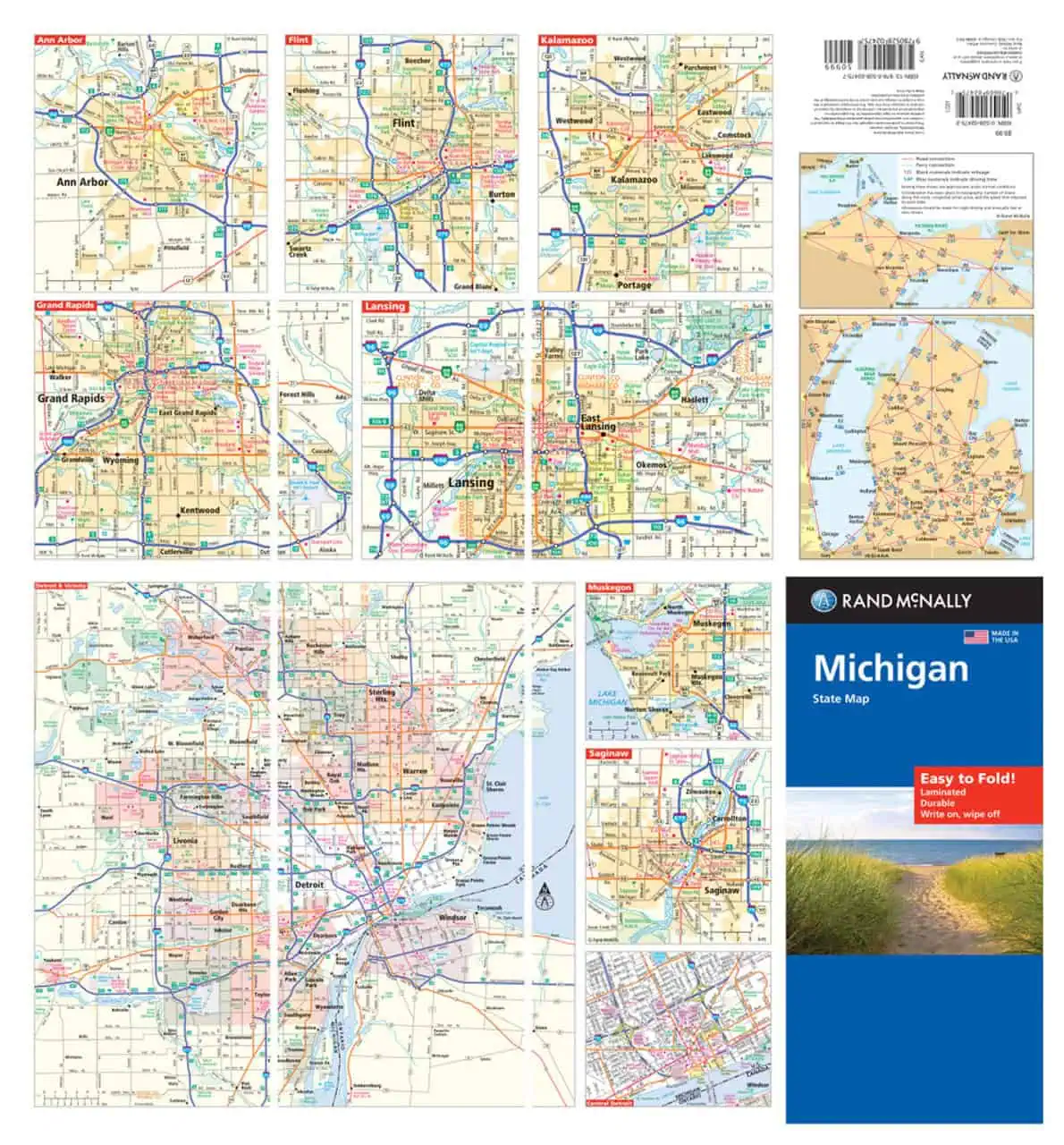
Michigan Easy to Fold Map by Rand McNally (Laminated)
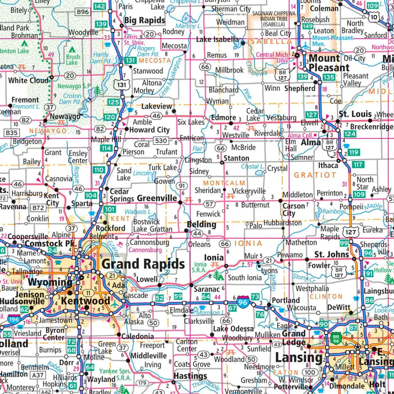
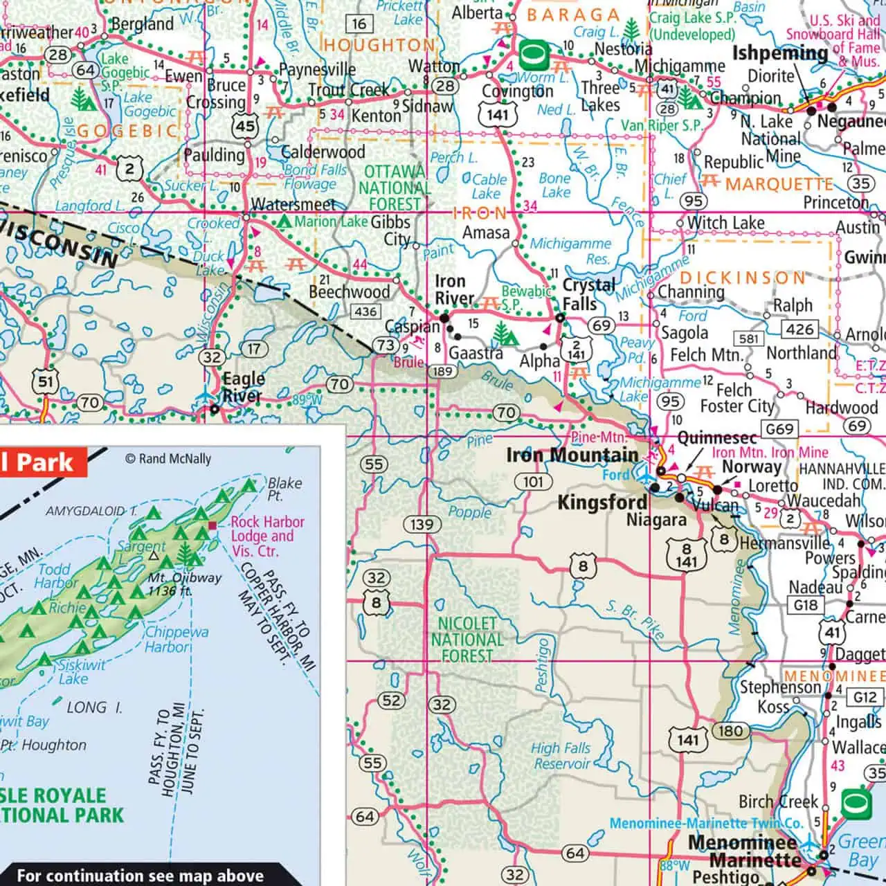
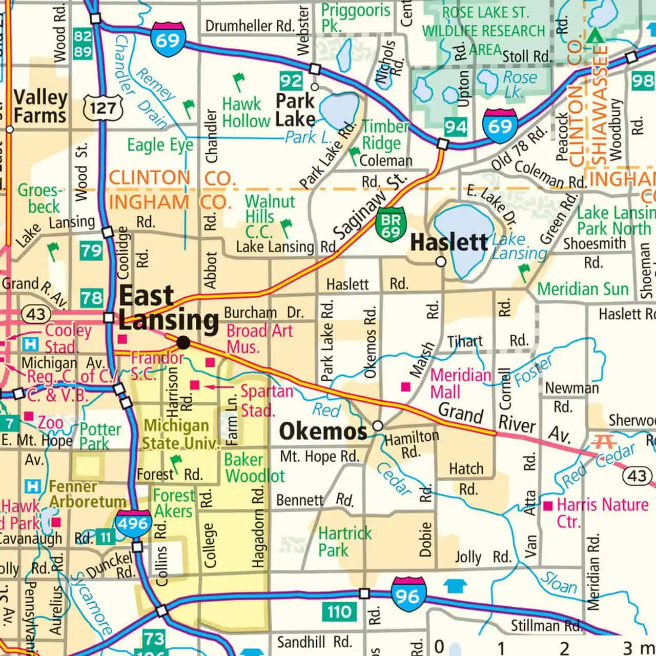
This laminated road map from Rand McNally covers the full state of Michigan — both the Lower and Upper Peninsulas — from Detroit and Grand Rapids north across the Mackinac Bridge to Marquette and the Keweenaw.
Map Shop ships the current Rand McNally edition.
| Reporting Category | Retail |
|---|---|
| Product Category | Folding Maps |
| Average Cost | 4.4953 |
| Label 0 - Google Product Category | LP – Travel Maps, Atlases & Books |
| Publisher | Rand McNally |
| Days to Ship | 3 |
| Print on Demand | NO |
| Size | 18" x 17" |
| Published | 2024 |
| Map Type | Folding Map |
Excellent job.... in fact I'm gonna order several other maps....
Rand McNally – Michigan, Easy to Fold – Folding Travel Map