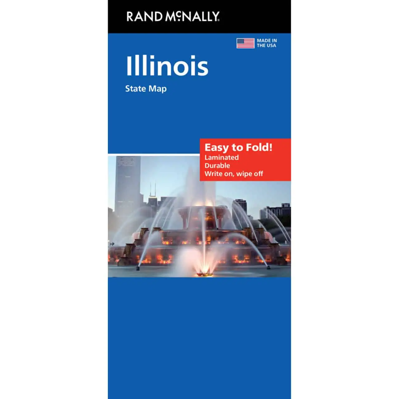
Illinois Easy to Fold Map
A folding travel paper map from Rand McNally’s Easy to Fold series, providing a reliable backup when cell signal fades on rural downstate roads.
- Territory covered: the full state, from the Wisconsin line and the Chicago area south to Cairo at the Ohio and Mississippi confluence
- Highways clearly indicated, including interstate corridors such as I-55, I-57, I-64, I-80 and I-90
- County boundaries marked across Illinois’s 102 counties
- Points of interest labeled statewide
- Full-color cartography with enhanced detail
- Quick-reference legend plus a city index for locating Springfield, Peoria, Rockford, Champaign and smaller towns
- Folds to display individual map sections, so you open only the stretch you need
- Less fumbling in a tight front seat thanks to the Easy to Fold format
- Tear resistant and durable for repeated use
Map Shop stocks the current Rand McNally edition for in-state drivers and visitors alike.


