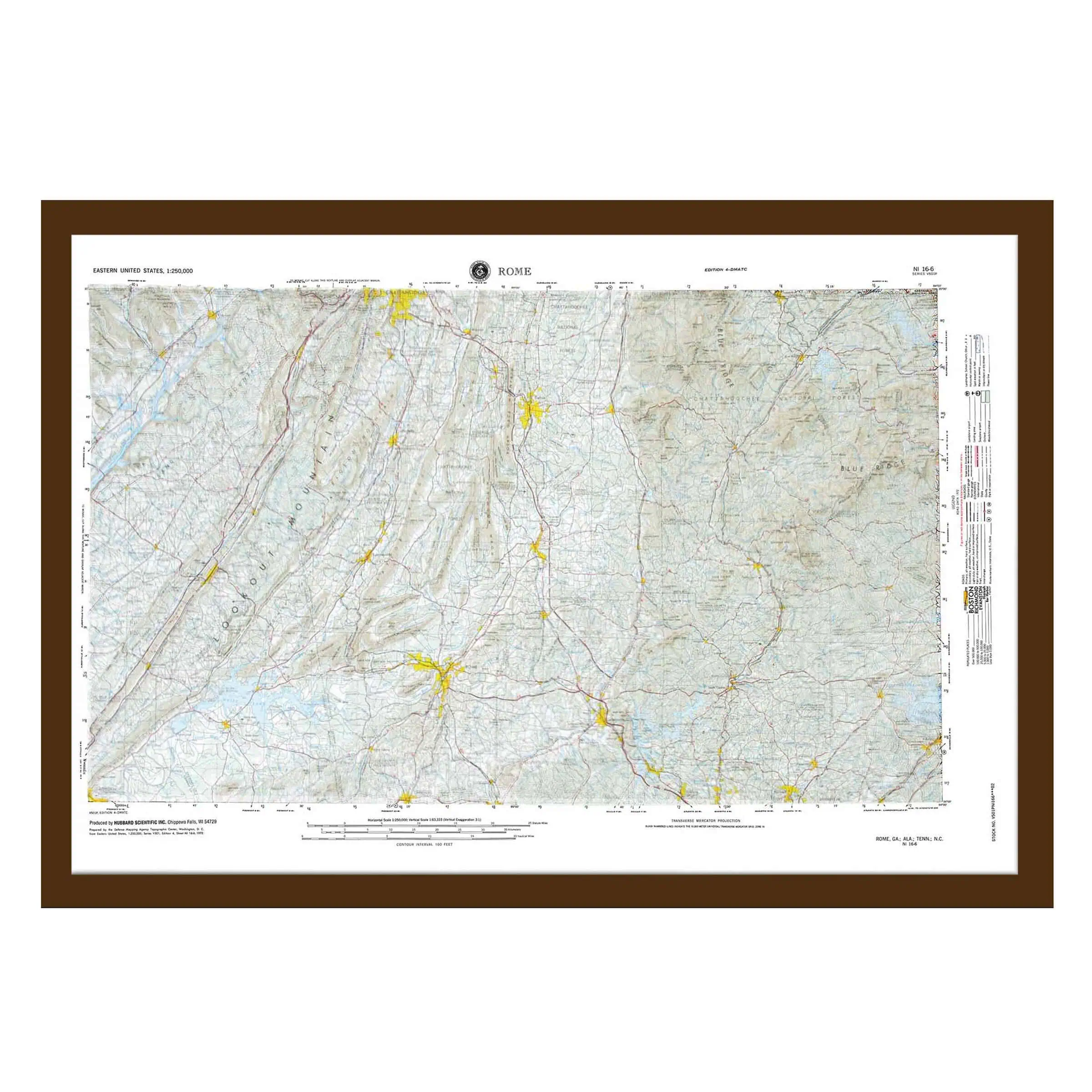
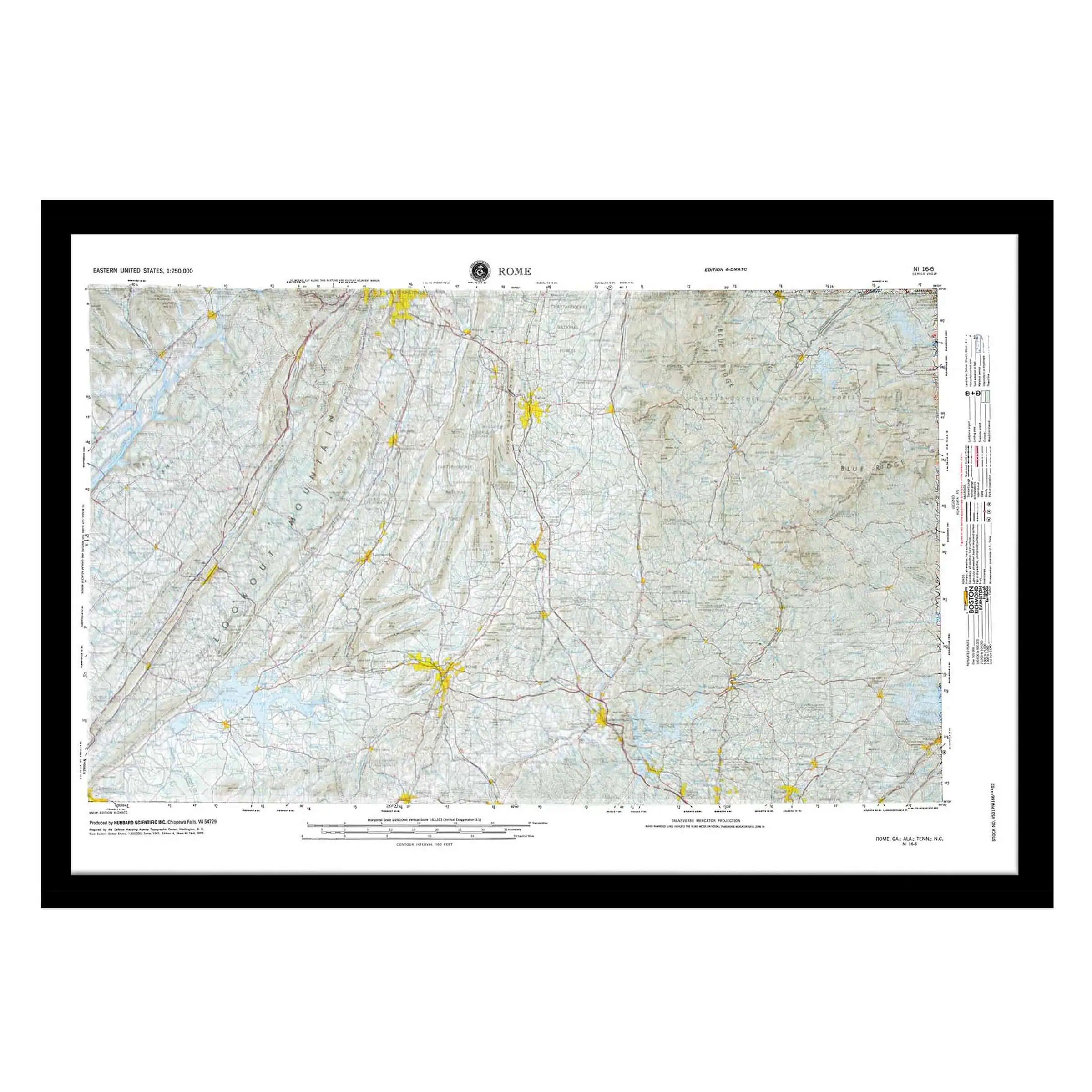
Rome, GA Raised Relief Map
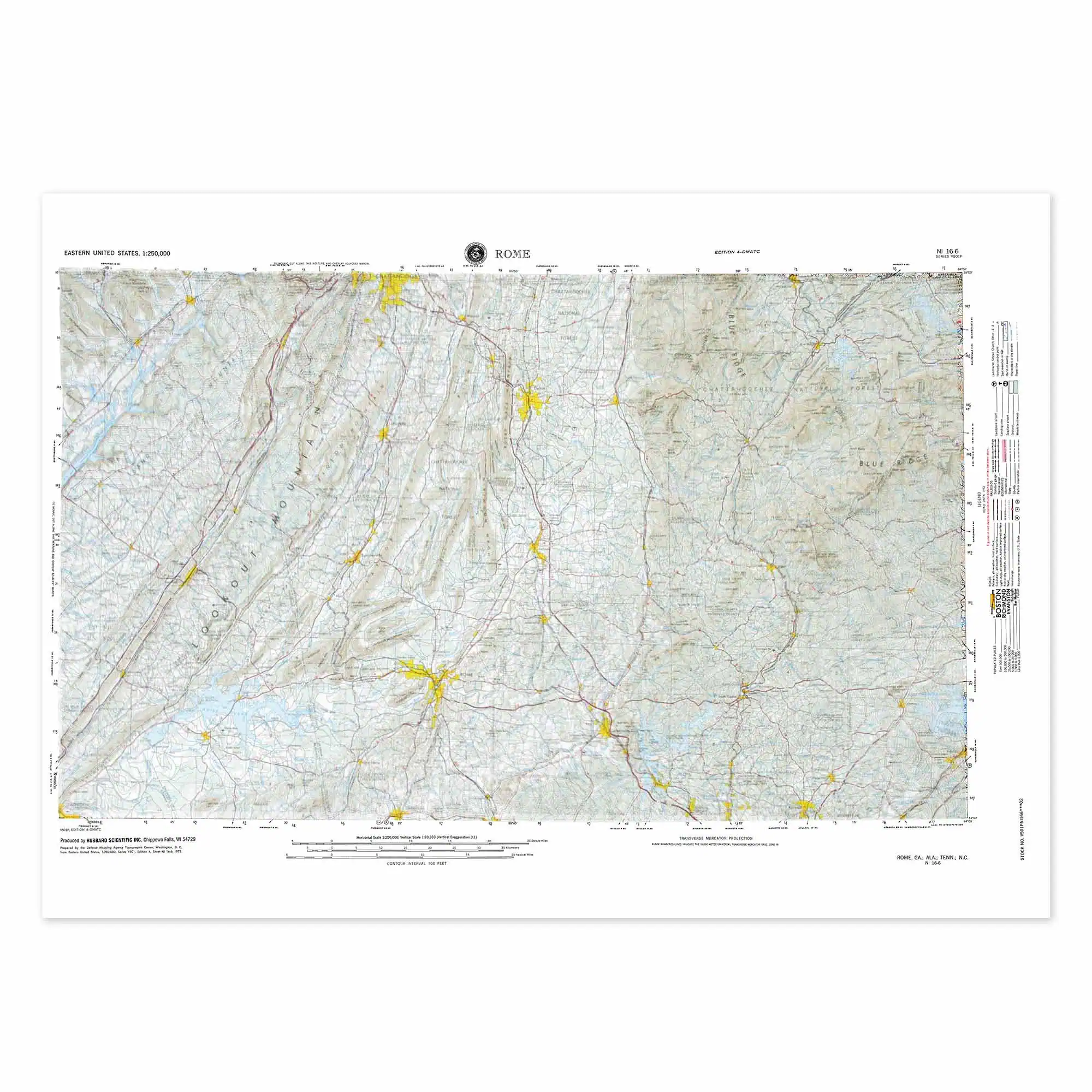
This is Ridge and Valley country. Long parallel ridges run southwest to northeast with farmland in the troughs between them, and that pattern only makes sense in three dimensions. Coverage follows the USGS 1:250,000 series: 34° to 35° north, 84° to 86° west.
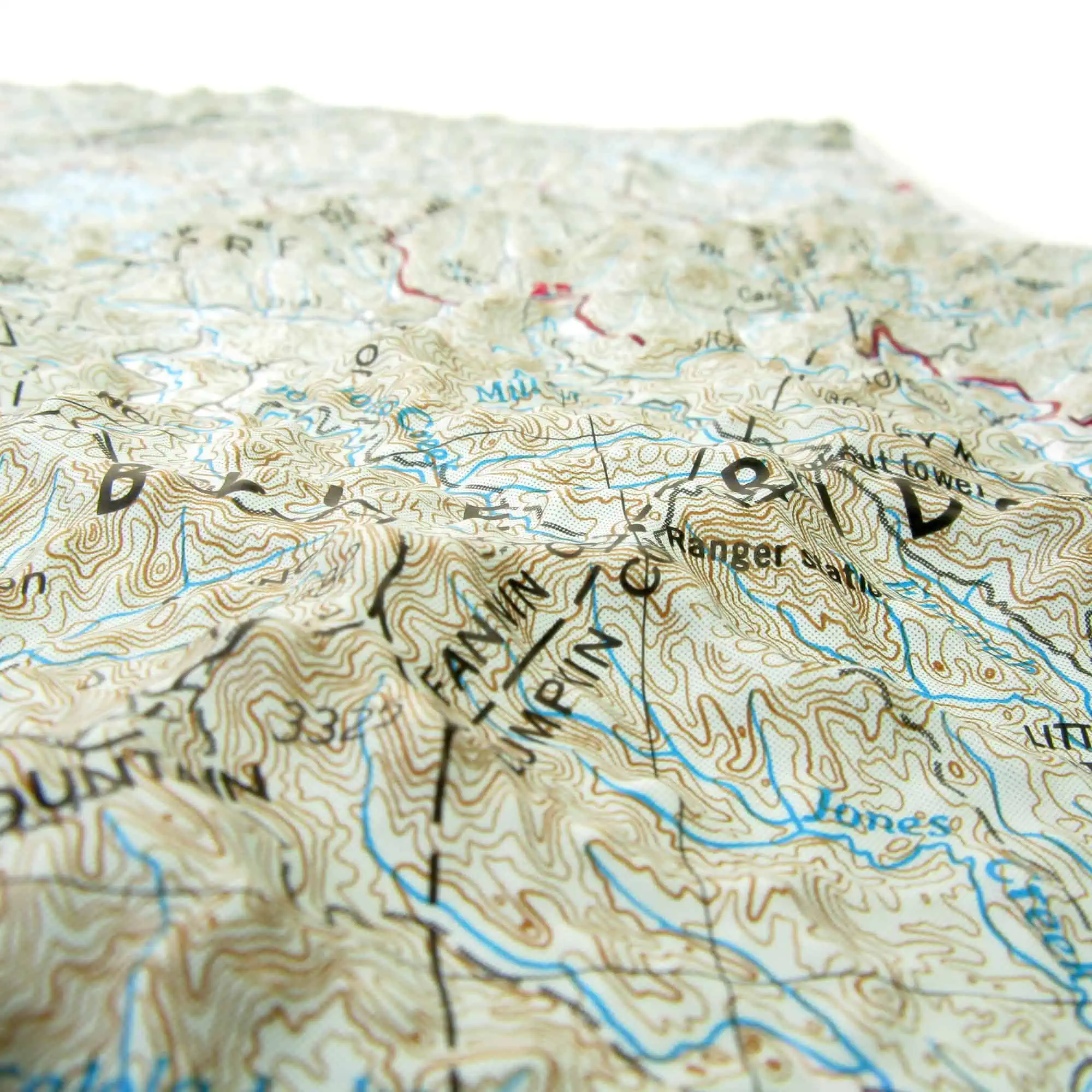
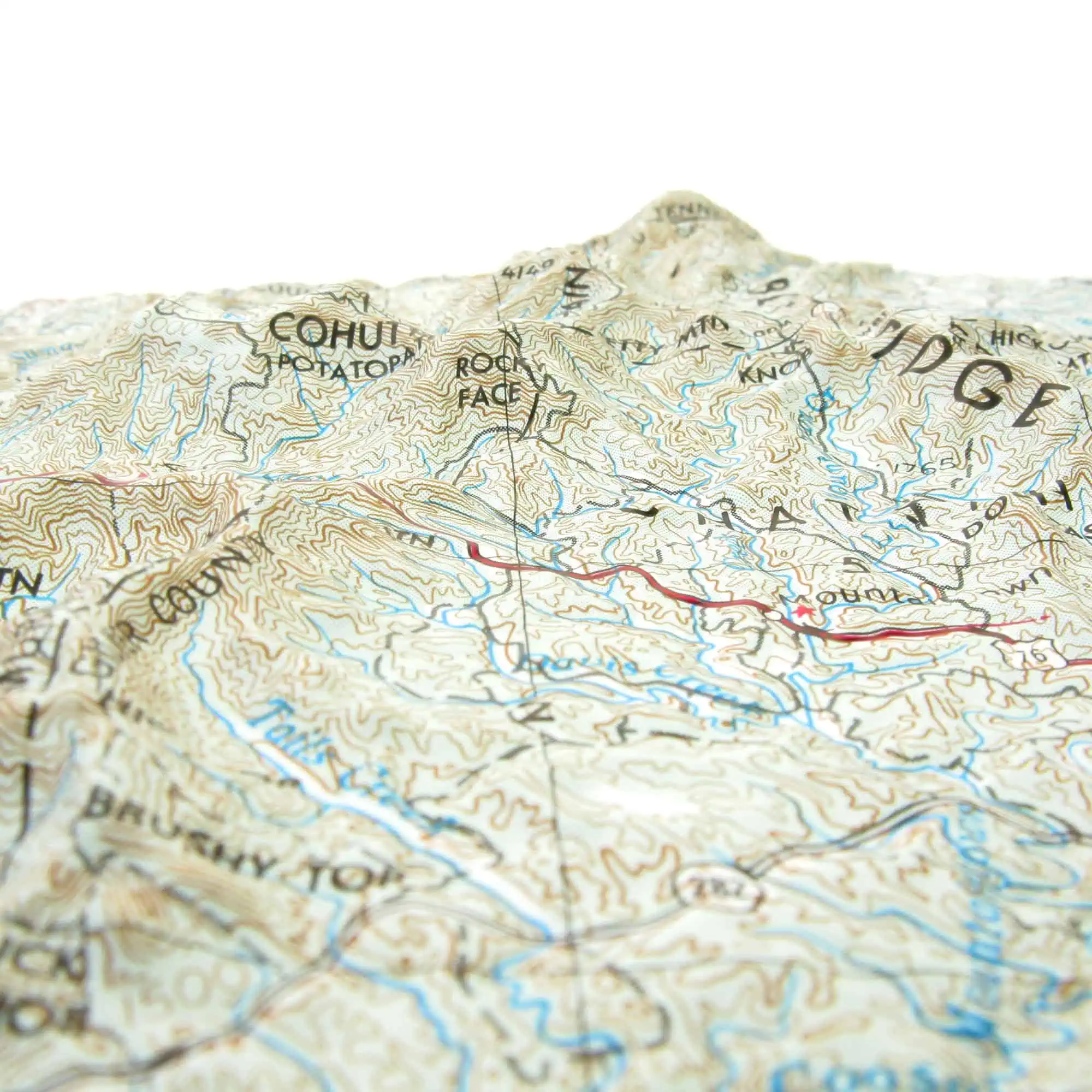
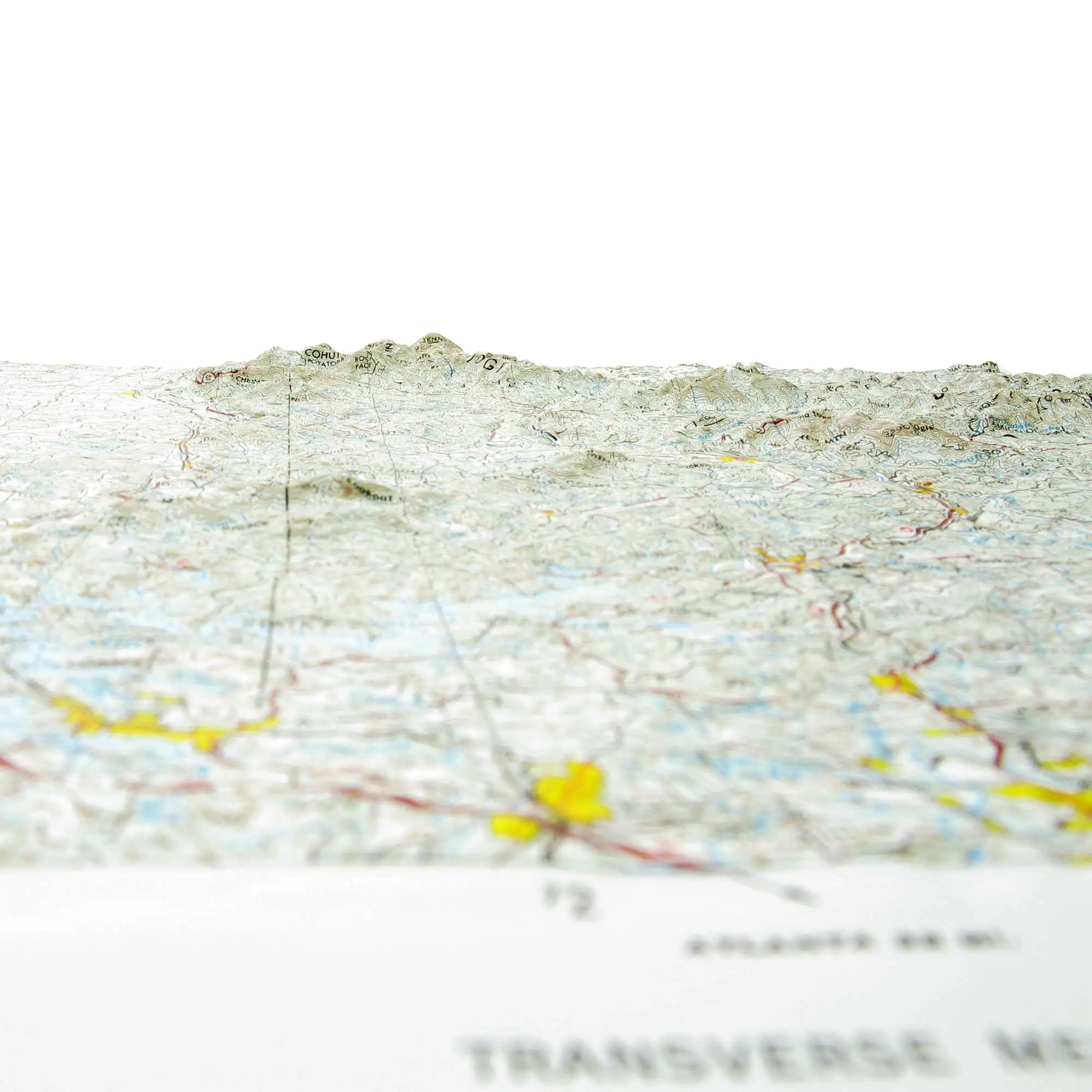
Map Shop prints the relief on 2mm rigid vinyl, then a technical artist heat-treats and vacuum-forms each print over a custom mold.
- Northwest Georgia: Rome, Dalton, Calhoun, Cartersville, Summerville and LaFayette
- Northeast Alabama: Fort Payne, Little River Canyon and the Weiss Lake country
- Lookout Mountain and Sand Mountain stand as flat-topped plateau blocks above the valleys
- The Cohutta Mountains and Cohutta Wilderness mark the Blue Ridge front in the northeast corner
- The Coosa, Etowah and Oostanaula rivers meet at Rome
- I-75 runs north through Cartersville, Calhoun and Dalton toward the Tennessee line
Real estate offices, outfitters and classrooms across northwest Georgia and the Alabama line country use these sheets as working references.


