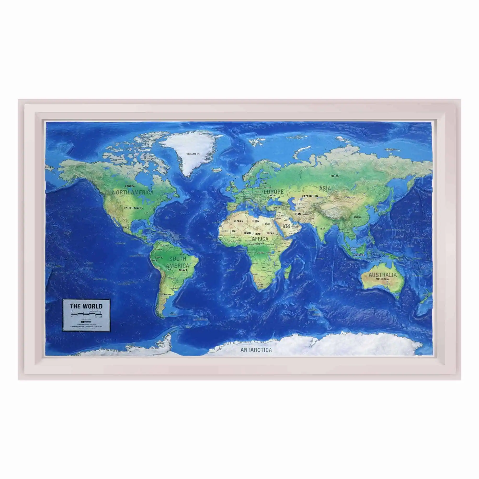
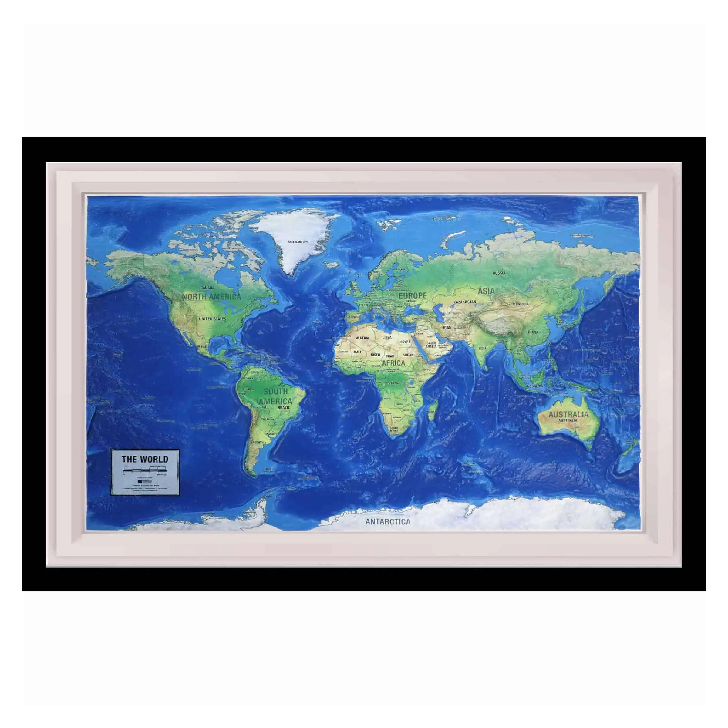
3D Raised Relief Map of The World
Every major mountain system on the planet on one surface, at true relative height. The Himalaya against the Andes against the Alps is a comparison a flat world map cannot make.
Each map is printed on 2mm thick high-grade rigid vinyl, then one of our technical artists heat-treats and vacuum-forms it over our custom World mold. This is a companion map to our United States Ranger Raised Relief Map, so the two hang together as a set.
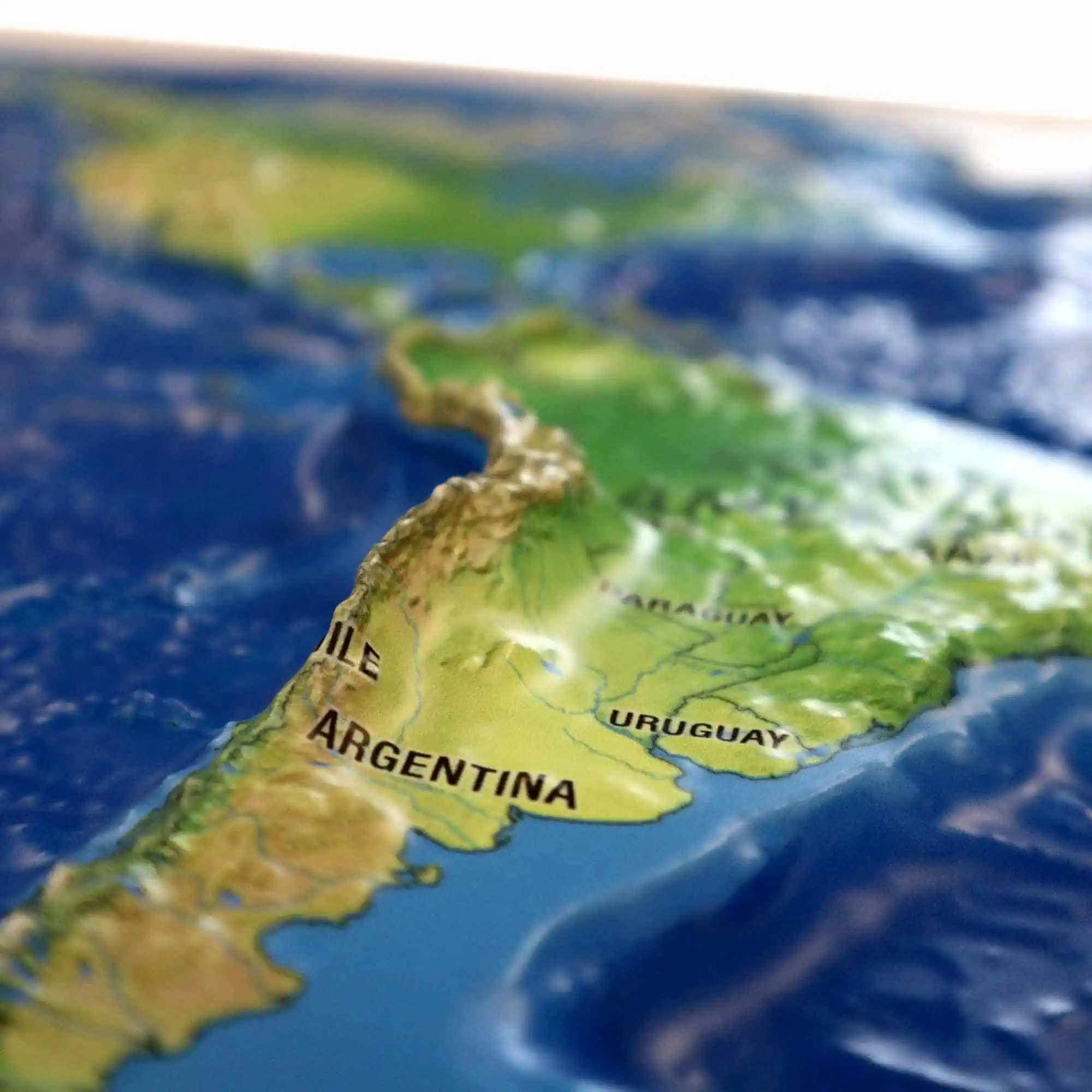
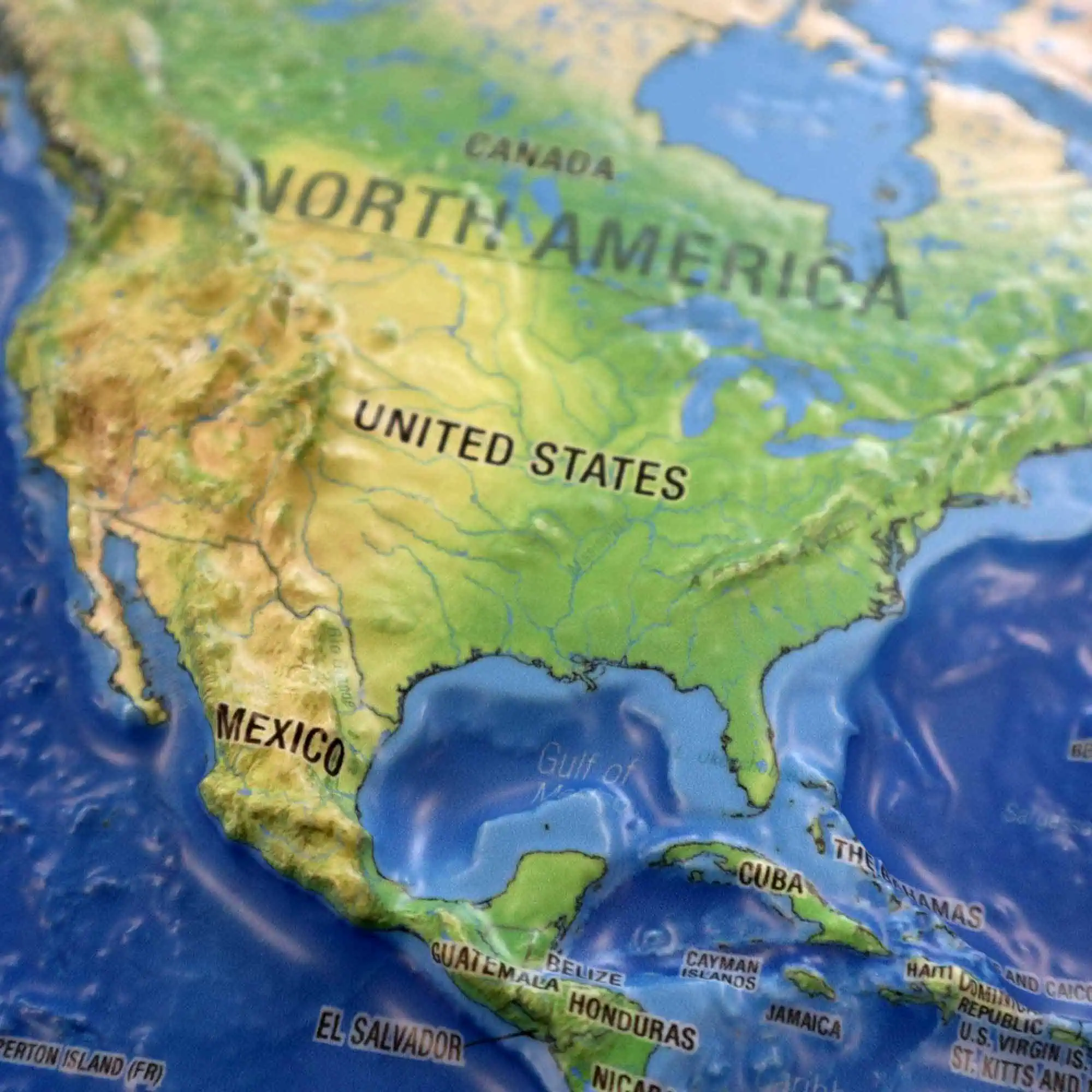
These fully three-dimensional vacuum-formed vinyl maps use color and shading alongside physical relief to represent elevation changes, giving a clearer understanding of terrain and landforms than any flat projection.
- The Himalaya and the Tibetan Plateau standing as the highest ground on the map
- The Andes running the length of South America, with the Amazon basin flat beside them
- The Rockies and the western cordillera down through North America
- The Alps, the Caucasus and the Atlas ranges around the Mediterranean
- The Great Rift Valley cutting north to south through East Africa
- Sahara, Gobi and the Australian interior reading as open low ground
Used in classrooms, university departments, briefing rooms and offices as a teaching surface. Relative scale lands faster from a molded map than from any projection printed flat.


