
Maps arrived in perfect condition. Very high quality, and we will use them for our future planning for Italy trips.
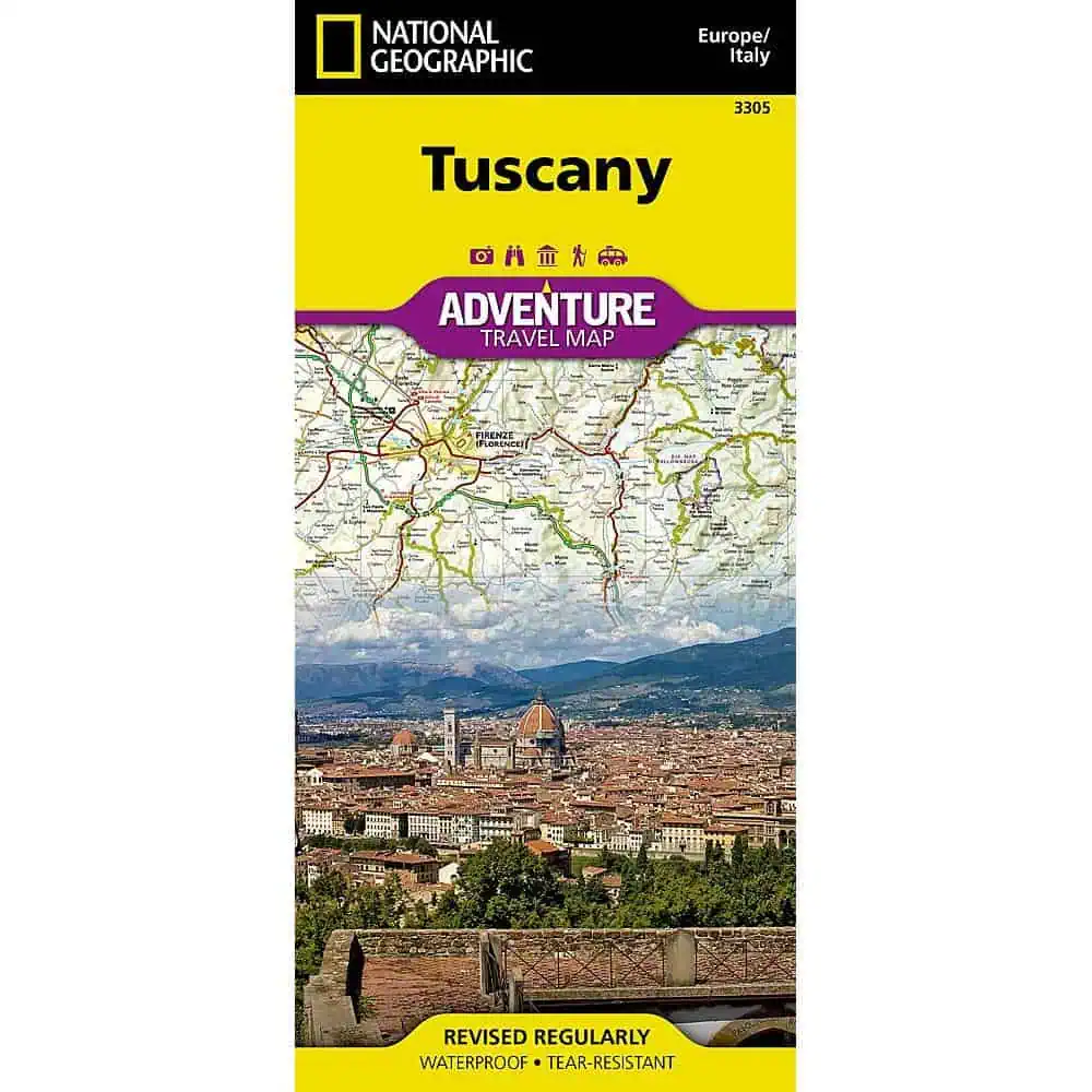
 National Geographic – Tuscany [Italy] – Adventure Folding Travel Map



$14.95
Rolling plains, picturesque mountains, sunny beaches, and architectural masterpieces attract scores of tourists each year who seek to experience first-hand the romantic charm that permeates Tuscany’s countryside.
Publication: 2019 || Size: 25.5″ x 37.75″
In stock
National Geographic Adventure Map: Tuscany
Printed on both sides to cover the region from the Pisa coast to the hill towns around Arezzo, with hundreds of points of interest guiding travelers into the countryside beyond Florence.
Useful for road trippers driving between Chianti villages when cell signal fades, and for sailors and ferry passengers heading for the islands. Map Shop stocks it for travelers who plan routes on paper before they leave home.
| Publisher | National Geographic |
|---|---|
| Language | English |
| Print Series | |
| Published | 2019 |
Maps arrived in perfect condition. Very high quality, and we will use them for our future planning for Italy trips.
National Geographic – Tuscany [Italy] – Adventure Folding Travel Map