
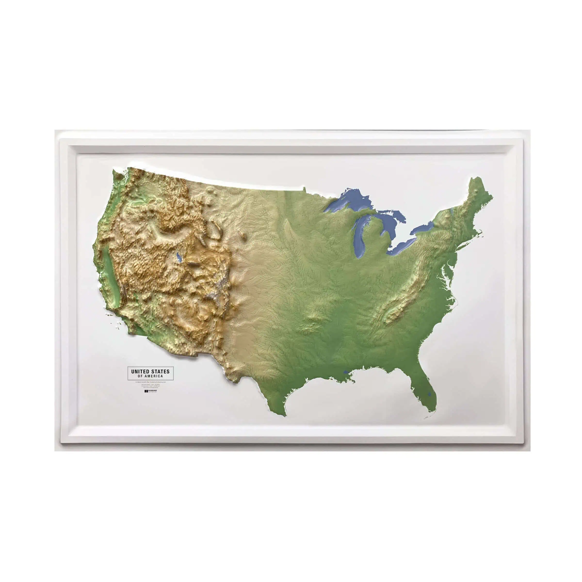


The map is absolutely great. My experience working with The Map Shop was fantastic. Everything went smoothly from start to finish, and the map arrived in good condition (There was a slight dent on one side but once I framed it, it popped right back into place and looks perfect). I had originally planned to hang it high on a large wall, but my kids and I have enjoyed looking at it, touching all the raised elevations, and talking about which mountains we’ve visited (and which ones we want to visit next) so much that I decided to hang it right at eye level instead. That way, anyone who enters our home can see it close up and interact with it right away.
 United States Natural Raised Relief


