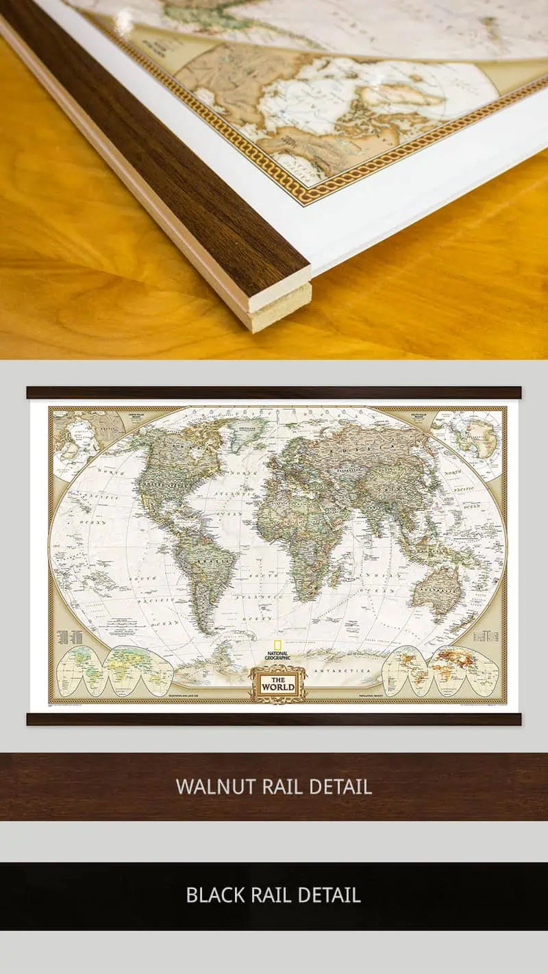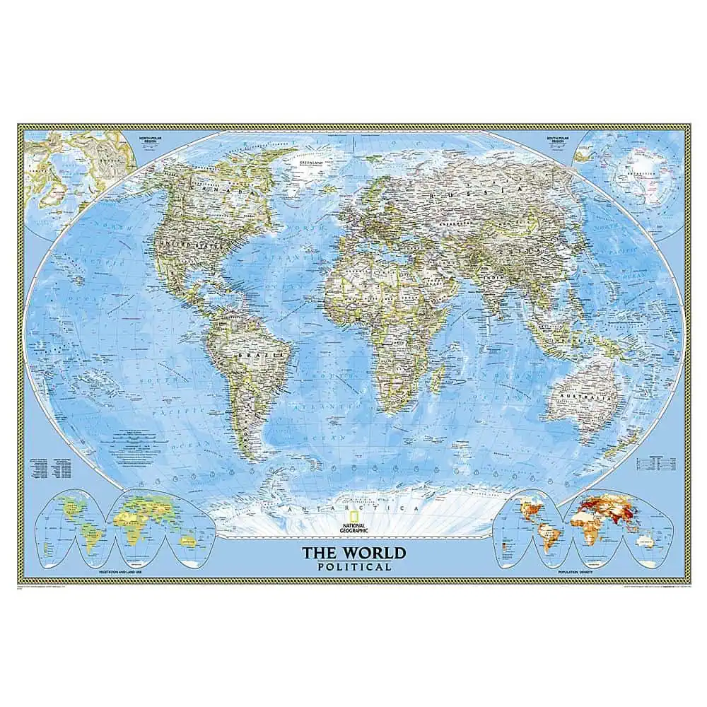

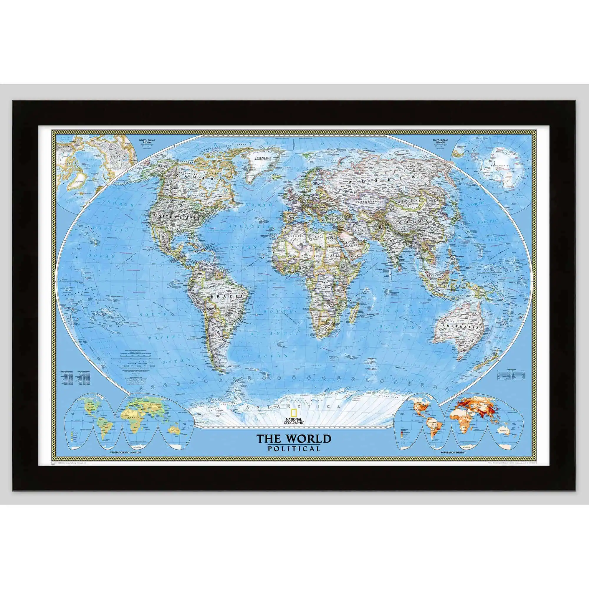

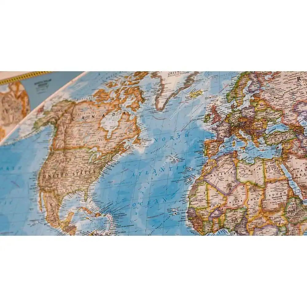


You guys nailed it! I ordered the giant nat geo world map with rails and it looks exactly like the photo on the site. I love maps and always try to support small businesses, so when I found you guys it was a no brainer that I'd be getting something for my apartment. I also appreciated your honesty about the process and why it would take some time to print, assemble, and ship the map. The quality, especially for two hundred bucks, is worth the wait. At any rate, this won't be the last map I order from you. Thank you for following up!
 National Geographic World Classic Wall Map