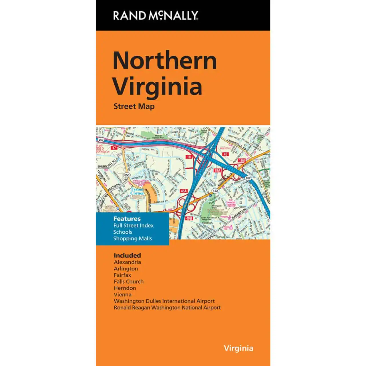

Northern Virginia Folding Travel Map
$9.99
The durable and convenient Rand McNally maps will take all the wear and tear your journey can dish out.
In stock
Normally ships in: 2-3 days.
$9.99
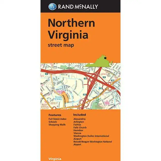
Rand McNally Northern Virginia Folding Map
Northern Virginia roads don’t forgive a wrong turn. The Beltway splits into I-495 and I-95, the Dulles Toll Road feeds into a web of state routes, and cell signal drops at exactly the wrong moment. This Rand McNally folding map covers Alexandria, Arlington, Fairfax, Falls Church, and Herndon with full-color cartography showing interstates, U.S. and state highways, county roads, and local streets.
| Publisher | Rand McNally |
|---|---|
| Language | English |
| Published | 2024 |