


What Are US Folding City Maps?
US folding city maps are detailed maps specifically focused on metropolitan areas, providing comprehensive street-level navigation. They fold down to a portable size for easy carrying and offer far more detail than regional or statewide maps, making them ideal for navigating city streets and public transit systems.
US folding city maps are detailed maps specifically focused on metropolitan areas, providing comprehensive street-level navigation. They fold down to a portable size for easy carrying and offer far more detail than regional or statewide maps, making them ideal for navigating city streets and public transit systems.
Why Use a City Map Instead of GPS?
While GPS is helpful, it can sometimes misguide you in dense urban areas or lose signal in high-rise zones and underground transit systems. A printed city map provides a clear, uninterrupted view of the entire city layout, allowing you to quickly locate streets, landmarks, and neighborhoods without relying on technology.
While GPS is helpful, it can sometimes misguide you in dense urban areas or lose signal in high-rise zones and underground transit systems. A printed city map provides a clear, uninterrupted view of the entire city layout, allowing you to quickly locate streets, landmarks, and neighborhoods without relying on technology.
What Types of City Maps Are Available?
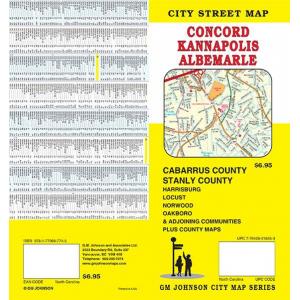
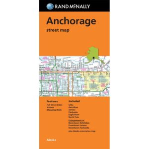
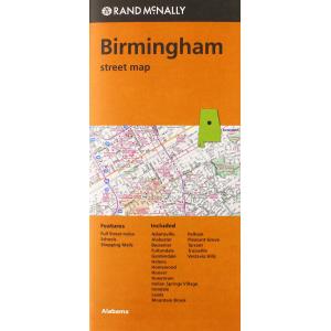
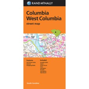
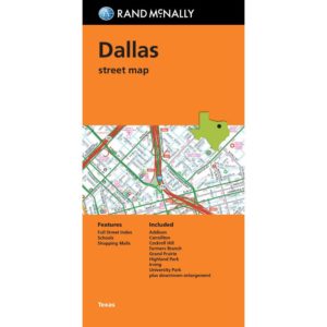
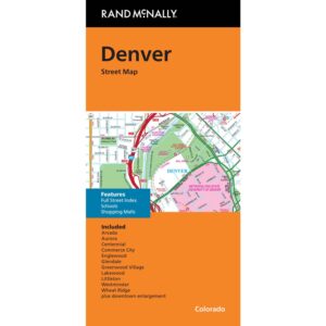
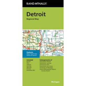
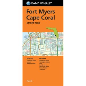
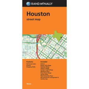
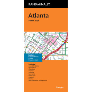
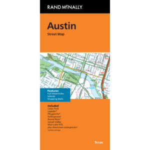
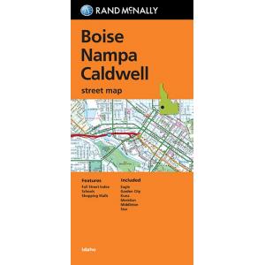
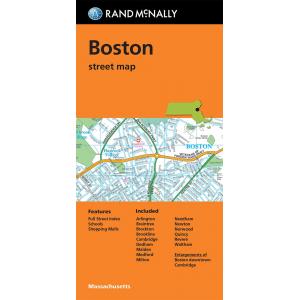
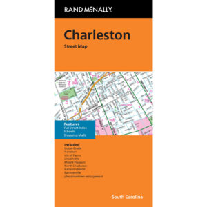
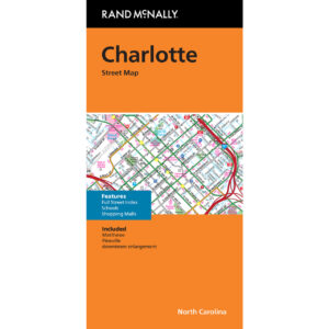
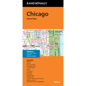
We offer folding maps for major US cities, each featuring detailed street grids, highway access points, public transit routes, and points of interest such as parks, attractions, shopping districts, and cultural landmarks. Many maps include inset maps for downtown areas and surrounding suburbs for complete city coverage.
We offer folding maps for major US cities, each featuring detailed street grids, highway access points, public transit routes, and points of interest such as parks, attractions, shopping districts, and cultural landmarks. Many maps include inset maps for downtown areas and surrounding suburbs for complete city coverage.
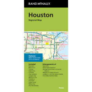
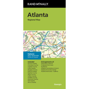
How Are City Maps Different from State and Regional Maps?
City maps focus on a smaller geographic area, providing highly detailed street-level information. They highlight local road networks, transit systems, and urban landmarks that broader state or regional maps cannot capture. This makes them essential for navigating busy city environments accurately.
City maps focus on a smaller geographic area, providing highly detailed street-level information. They highlight local road networks, transit systems, and urban landmarks that broader state or regional maps cannot capture. This makes them essential for navigating busy city environments accurately.
Are Folding City Maps Good for Travelers?
Yes. Folding city maps are invaluable for tourists, business travelers, and locals exploring new neighborhoods. They help you navigate city streets, locate attractions, and plan walking or driving routes. Their portability makes them easy to use on the go, whether you’re sightseeing or commuting.
Yes. Folding city maps are invaluable for tourists, business travelers, and locals exploring new neighborhoods. They help you navigate city streets, locate attractions, and plan walking or driving routes. Their portability makes them easy to use on the go, whether you’re sightseeing or commuting.
Do City Maps Include Points of Interest?
Most city maps feature icons and symbols for attractions, museums, historical sites, restaurants, public transportation hubs, and shopping areas. Many also include pedestrian paths and detailed layouts of downtown districts to help you make the most of your city visit.
Most city maps feature icons and symbols for attractions, museums, historical sites, restaurants, public transportation hubs, and shopping areas. Many also include pedestrian paths and detailed layouts of downtown districts to help you make the most of your city visit.
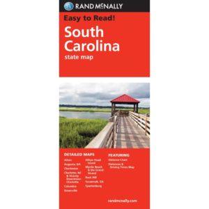
What Finishes Are Available for City Maps?
City maps are typically printed on durable paper, with select editions available in laminated or waterproof synthetic finishes. These rugged finishes make the maps reusable and long-lasting, perfect for frequent use in urban settings.
City maps are typically printed on durable paper, with select editions available in laminated or waterproof synthetic finishes. These rugged finishes make the maps reusable and long-lasting, perfect for frequent use in urban settings.
How Often Are City Maps Updated?
City folding maps are updated every one to two years to reflect new roads, public transit changes, and updated points of interest. When you buy from The Map Shop, you receive the latest available edition for your chosen city.
City folding maps are updated every one to two years to reflect new roads, public transit changes, and updated points of interest. When you buy from The Map Shop, you receive the latest available edition for your chosen city.
Why Buy US Folding City Maps from The Map Shop?
Since 1990, The Map Shop has offered travelers accurate and dependable printed maps. We stock city maps from leading publishers known for their detail and clarity. Every order is carefully handled and shipped from our Charlotte, NC facility, ensuring you receive a high-quality product for navigating your chosen city confidently.
Since 1990, The Map Shop has offered travelers accurate and dependable printed maps. We stock city maps from leading publishers known for their detail and clarity. Every order is carefully handled and shipped from our Charlotte, NC facility, ensuring you receive a high-quality product for navigating your chosen city confidently.