

Tampa & St. Petersburg FL Folding Map by Rand McNally
$9.99
The durable and convenient Rand McNally maps will take all the wear and tear your journey can dish out.
In stock
Normally ships in: 2-3 days.
$9.99
Tampa & St. Petersburg FL Folding Map by Rand McNally
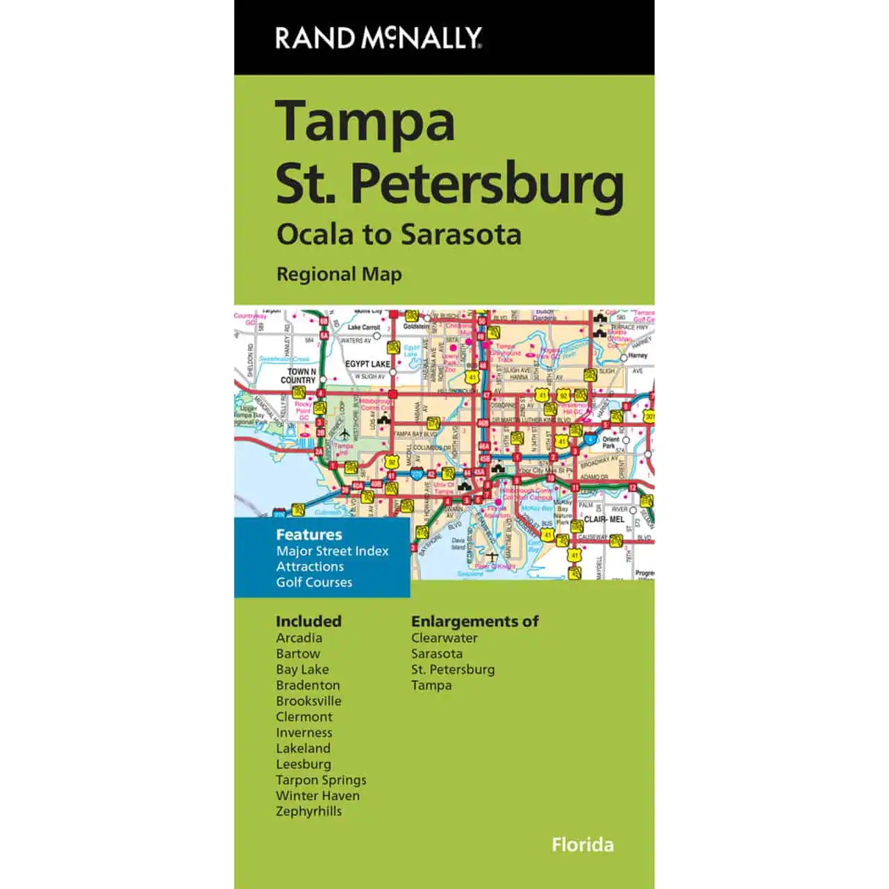
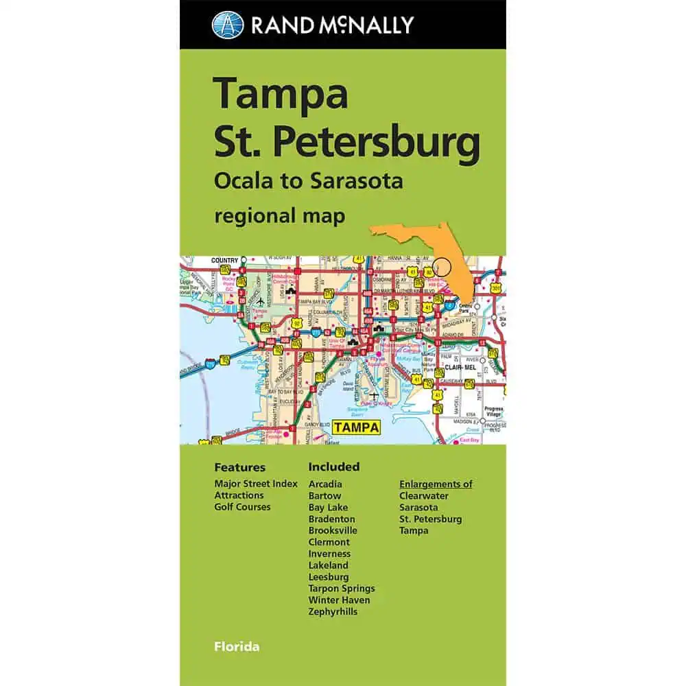
This Rand McNally folding map covers Tampa, St. Petersburg, and the surrounding Tampa Bay area with the detail and accuracy the brand is known for. Every Interstate, U.S., state, and county highway is clearly marked, along with local streets, parks, airports, and key points of interest.
A full street index and easy-to-read legend make it simple to pinpoint any destination across the region. Coverage extends to Bradenton, Lakeland, Clearwater, Winter Haven, Tarpon Springs, and dozens of surrounding communities – giving you a complete picture of west-central Florida in one folding map.
Cell signals drop. Batteries die. A printed road map from Map Shop doesn’t depend on either. Rand McNally’s cartography is regularly updated and printed in full color, built for real-world road navigation when GPS falls short.
Tuck it in the glove box, a backpack, or a suitcase. This Tampa Bay road map is lightweight, compact, and ready when you need it. Map Shop carries the full Rand McNally folding map series for destinations across the U.S.
| Publisher | Rand McNally |
|---|---|
| Language | English |
| Print Series | |
| Published | 2024 |