


Phoenix Arizona Folding Travel Map by Rand McNally
$9.99
The durable and convenient Rand McNally maps will take all the wear and tear your journey can dish out.
In stock
Normally ships in: 2-3 days.
$9.99
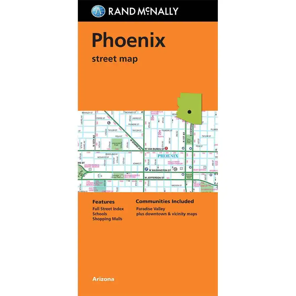
The Phoenix metro stretches across most of the Salt River Valley, pulling in Scottsdale to the northeast, Tempe and Mesa to the east, and Paradise Valley between them. Driving any of it means crossing the interstate and loop highway network that ties the cities together.
This Rand McNally folding map shows the full road grid: interstate, US, state, and county highways, every named street with a complete index, plus airports, parks, points of interest, schools, and shopping malls across the metro. A downtown and vicinity inset handles central Phoenix at close range.
Rand McNally has produced road cartography for over a hundred years, with regular updates and full-color printing standard. Map Shop carries this folded edition for road trippers, business travelers, and visitors who want a paper reference when the phone fails.
| Publisher | Rand McNally |
|---|---|
| Language | English |
| Published | 2024 |