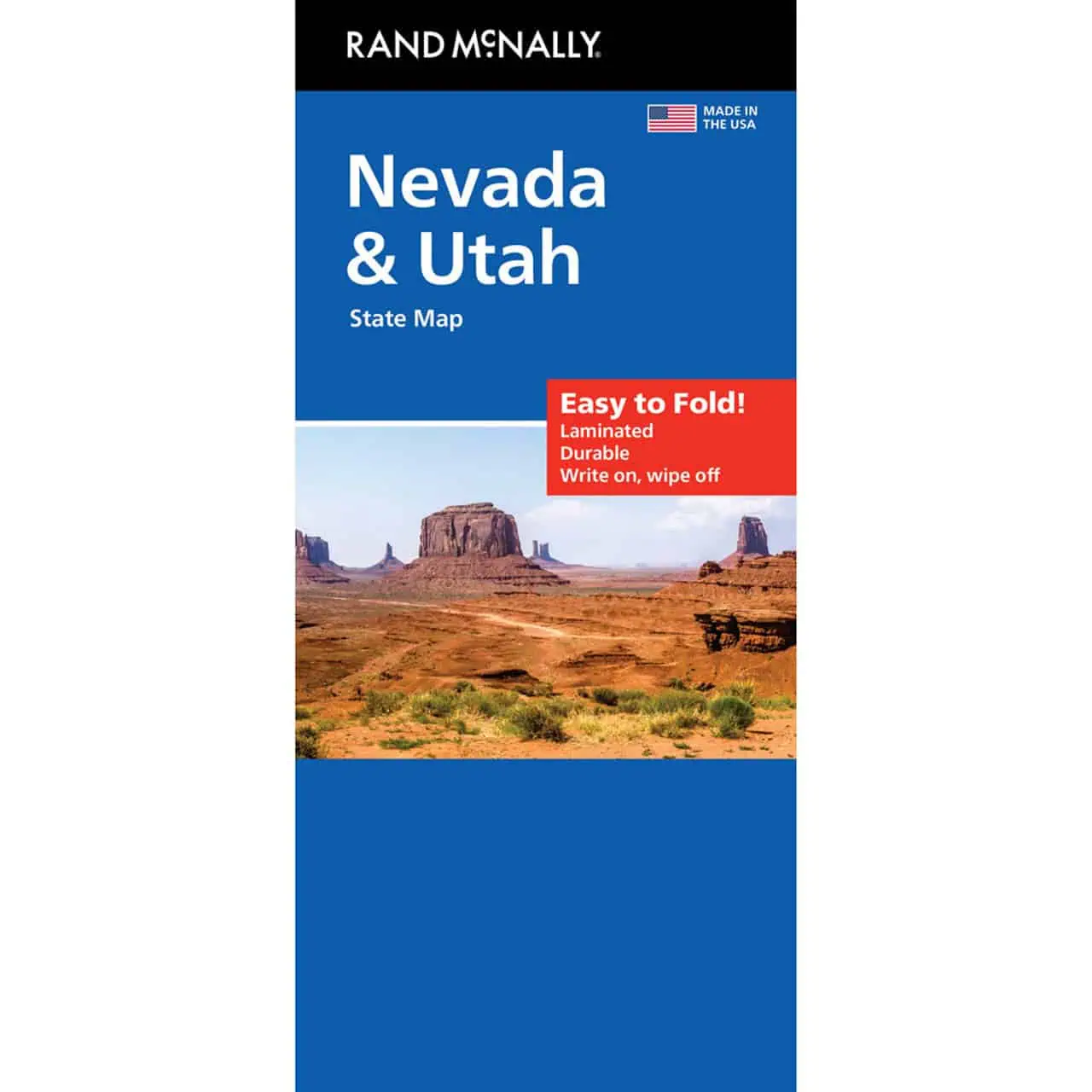
Nevada Utah Map
A Rand McNally folding travel map covering both states on one Easy To Fold sheet. Plan a route from Reno or Las Vegas to Salt Lake City on paper, which keeps working where cell coverage fades across the Great Basin.
- Territory: all of Nevada and Utah, from the Lake Tahoe area and Reno east to the Wasatch Front and the Colorado Plateau
- Highways clearly marked, including the Interstate 15 and Interstate 80 corridors that link both states
- County boundaries shown for Nevada and Utah
- Points of interest marked across both states
- City index for finding towns quickly
- Quick-reference legend
- Full-color maps with enhanced cartography
- Easy To Fold format opens to individual map sections, so you can view one region without spreading out the whole sheet
- Fits a glove box or day pack


