What Are Pacific Coast NOAA Charts?
Pacific Coast NOAA charts are official maritime maps historically produced by the National Oceanic and Atmospheric Administration to chart the western coastline of the United States. These charts provide detailed hydrographic information including depth soundings, shoreline features, channels, and harbor layouts from Washington to California. While these printed charts are no longer updated for active navigation, they remain valuable as reference materials and decorative pieces capturing the maritime geography of the Pacific Coast.
Pacific Coast NOAA charts are official maritime maps historically produced by the National Oceanic and Atmospheric Administration to chart the western coastline of the United States. These charts provide detailed hydrographic information including depth soundings, shoreline features, channels, and harbor layouts from Washington to California. While these printed charts are no longer updated for active navigation, they remain valuable as reference materials and decorative pieces capturing the maritime geography of the Pacific Coast.
What Are the Different Types of Pacific Coast NOAA Charts?
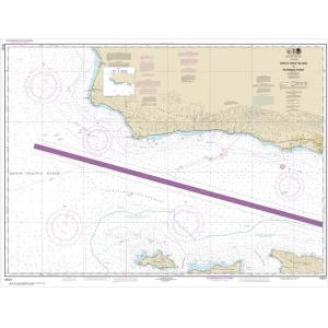
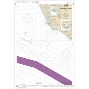
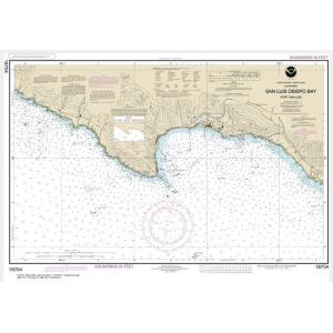
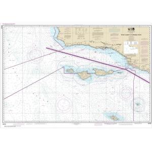
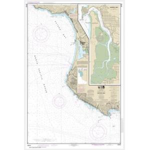
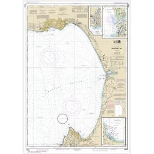
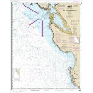
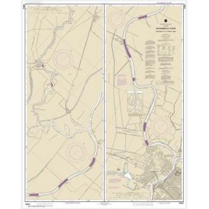
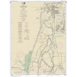
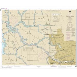
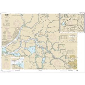
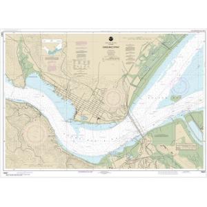
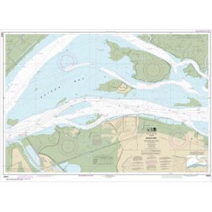
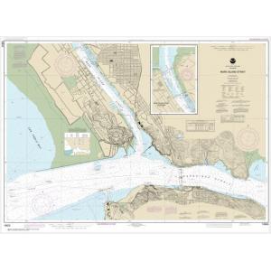
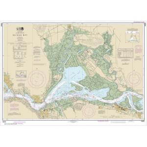
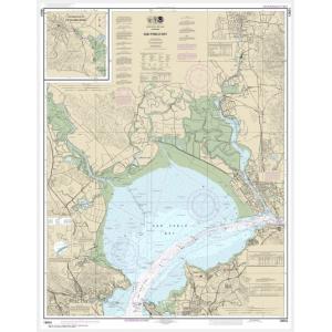
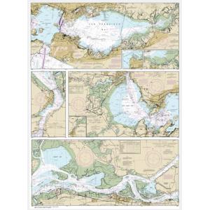
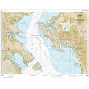
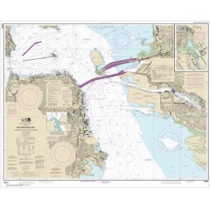
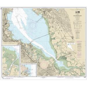
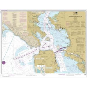
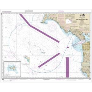
Our Pacific Coast NOAA chart collection covers major regions of the western seaboard. This includes Washington’s Puget Sound and Strait of Juan de Fuca, Oregon’s Columbia River approaches, and California’s extensive coastline featuring San Francisco Bay, Monterey Bay, Los Angeles Harbor, and San Diego Bay. Charts also include offshore Pacific fishing grounds and major shipping channels. These detailed maps are perfect for collectors and wall décor in coastal properties.
Our Pacific Coast NOAA chart collection covers major regions of the western seaboard. This includes Washington’s Puget Sound and Strait of Juan de Fuca, Oregon’s Columbia River approaches, and California’s extensive coastline featuring San Francisco Bay, Monterey Bay, Los Angeles Harbor, and San Diego Bay. Charts also include offshore Pacific fishing grounds and major shipping channels. These detailed maps are perfect for collectors and wall décor in coastal properties.
Are Pacific Coast NOAA Charts Updated?
No. NOAA has discontinued its printed chart program, and these charts are no longer updated. They are preserved for historical and cartographic purposes. For those who prefer a printed chart with current data, we offer custom nautical charts created from NOAA’s latest digital information. Create your custom Pacific Coast chart here.
No. NOAA has discontinued its printed chart program, and these charts are no longer updated. They are preserved for historical and cartographic purposes. For those who prefer a printed chart with current data, we offer custom nautical charts created from NOAA’s latest digital information. Create your custom Pacific Coast chart here.
What Areas Do Pacific Coast NOAA Charts Cover?
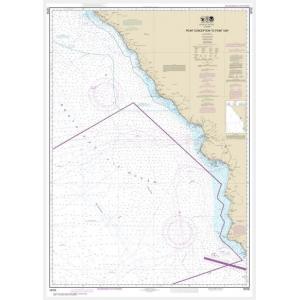
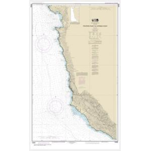
Pacific Coast NOAA charts cover the entire western U.S. coastline, from Washington’s northern border to the southern tip of California. They provide detailed views of harbors, bays, estuaries, and navigational routes along the Pacific Ocean. Key areas include Puget Sound, Columbia River Bar, San Francisco Bay, Santa Barbara Channel, Los Angeles Harbor, and San Diego Bay.
Pacific Coast NOAA charts cover the entire western U.S. coastline, from Washington’s northern border to the southern tip of California. They provide detailed views of harbors, bays, estuaries, and navigational routes along the Pacific Ocean. Key areas include Puget Sound, Columbia River Bar, San Francisco Bay, Santa Barbara Channel, Los Angeles Harbor, and San Diego Bay.
Can I Order a Custom Pacific Coast Chart?
Yes. We create custom Pacific Coast charts for any area along the western U.S. coastline. You can specify the scale, crop, and paper type to highlight your home port, favorite fishing spot, or sailing route. Custom charts can be mounted or framed for professional-quality decorative displays. Design your Pacific Coast chart here.
Yes. We create custom Pacific Coast charts for any area along the western U.S. coastline. You can specify the scale, crop, and paper type to highlight your home port, favorite fishing spot, or sailing route. Custom charts can be mounted or framed for professional-quality decorative displays. Design your Pacific Coast chart here.
What Finishing Options Are Available?
Pacific Coast NOAA charts can be printed on standard paper or waterproof synthetic material. We offer mounting and framing services that transform these charts into ready-to-hang artwork. Mounted charts are great for pin tracking, while framed pieces provide a polished look for coastal homes, offices, and yacht clubs. See available finishing options here.
Pacific Coast NOAA charts can be printed on standard paper or waterproof synthetic material. We offer mounting and framing services that transform these charts into ready-to-hang artwork. Mounted charts are great for pin tracking, while framed pieces provide a polished look for coastal homes, offices, and yacht clubs. See available finishing options here.
Can I Find a Specific Pacific Coast NOAA Chart by Number?
Yes. Use the search bar at the top-right of our website to enter your chart number for quick access. You can also browse this category to visually locate the Pacific Coast chart you need.
Yes. Use the search bar at the top-right of our website to enter your chart number for quick access. You can also browse this category to visually locate the Pacific Coast chart you need.
What Makes Pacific Coast NOAA Charts Ideal for Decorative Use?
These charts capture the dramatic beauty and complex waterways of the Pacific Coast. Their detailed cartography makes them excellent for framing and displaying in beach homes, coastal offices, or yacht clubs. A chart of a meaningful port or fishing ground creates a personalized, conversation-worthy wall feature.
These charts capture the dramatic beauty and complex waterways of the Pacific Coast. Their detailed cartography makes them excellent for framing and displaying in beach homes, coastal offices, or yacht clubs. A chart of a meaningful port or fishing ground creates a personalized, conversation-worthy wall feature.
Why Buy Pacific Coast NOAA Charts from The Map Shop?
The Map Shop has over 30 years of experience printing and finishing NOAA charts. Each Pacific Coast chart is printed in-house in Charlotte, NC with premium materials and expert techniques. With thousands of charts available for fast production, mounting, and framing, we guarantee high quality and reliable service. Read customer reviews here or learn more about our story here.
The Map Shop has over 30 years of experience printing and finishing NOAA charts. Each Pacific Coast chart is printed in-house in Charlotte, NC with premium materials and expert techniques. With thousands of charts available for fast production, mounting, and framing, we guarantee high quality and reliable service. Read customer reviews here or learn more about our story here.