What Are Western Africa and Mediterranean NGA Charts?
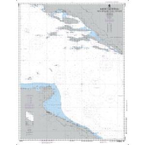
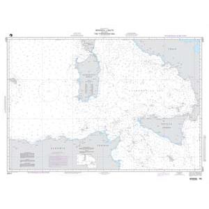
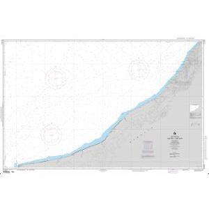
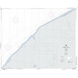
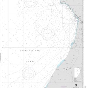
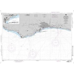
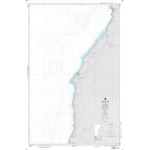
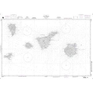
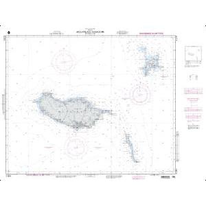
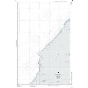
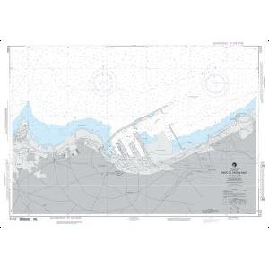
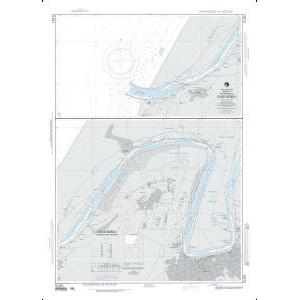
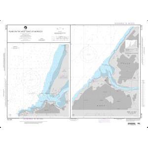
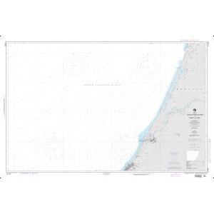
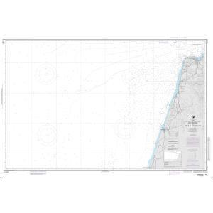
Western Africa and Mediterranean NGA charts are official maritime maps historically produced by the National Geospatial-Intelligence Agency to document the waterways and ports of North Africa, West Africa, and Southern Europe. These charts provide detailed hydrographic information including depth soundings, harbor layouts, and offshore navigational routes. While no longer updated for active navigation, these charts remain valuable for reference and as decorative pieces capturing the rich maritime heritage of the region.
Western Africa and Mediterranean NGA charts are official maritime maps historically produced by the National Geospatial-Intelligence Agency to document the waterways and ports of North Africa, West Africa, and Southern Europe. These charts provide detailed hydrographic information including depth soundings, harbor layouts, and offshore navigational routes. While no longer updated for active navigation, these charts remain valuable for reference and as decorative pieces capturing the rich maritime heritage of the region.
What Are the Different Types of Western Africa and Mediterranean NGA Charts?
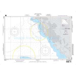
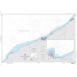
Our NGA chart collection includes maps of the entire Western African coast from Morocco to Nigeria, along with the Mediterranean Sea covering Spain, France, Italy, Greece, and Turkey. North African nations such as Algeria, Tunisia, Libya, and Egypt are also detailed. These charts document major shipping routes, fishing grounds, and historical ports, making them ideal for collectors, educators, and maritime-themed décor.
Our NGA chart collection includes maps of the entire Western African coast from Morocco to Nigeria, along with the Mediterranean Sea covering Spain, France, Italy, Greece, and Turkey. North African nations such as Algeria, Tunisia, Libya, and Egypt are also detailed. These charts document major shipping routes, fishing grounds, and historical ports, making them ideal for collectors, educators, and maritime-themed décor.
Are Western Africa and Mediterranean NGA Charts Updated?
No. NGA printed charts are no longer updated for modern navigation. They are preserved for their historical and cartographic value. For those seeking current information in a printed format, we can create a custom chart using the latest digital maritime data. Create your custom chart here.
No. NGA printed charts are no longer updated for modern navigation. They are preserved for their historical and cartographic value. For those seeking current information in a printed format, we can create a custom chart using the latest digital maritime data. Create your custom chart here.
What Areas Do Western Africa and Mediterranean NGA Charts Cover?
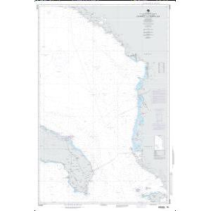
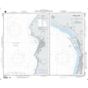
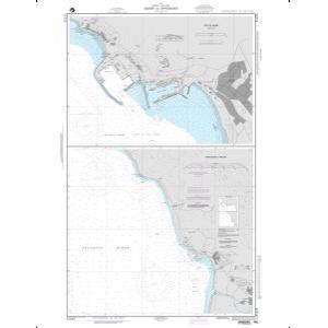
These NGA charts cover extensive maritime regions, including the Atlantic coastline of Western Africa, the Strait of Gibraltar, and the full Mediterranean Sea. Ports such as Casablanca, Dakar, Marseille, Barcelona, Genoa, Athens, and Alexandria are detailed along with surrounding sea routes and offshore features.
These NGA charts cover extensive maritime regions, including the Atlantic coastline of Western Africa, the Strait of Gibraltar, and the full Mediterranean Sea. Ports such as Casablanca, Dakar, Marseille, Barcelona, Genoa, Athens, and Alexandria are detailed along with surrounding sea routes and offshore features.
Can I Order a Custom Western Africa or Mediterranean Chart?
Yes. We can produce a custom NGA chart tailored to any location within these regions. Specify your preferred coastline, port, or shipping lane, and we will create a chart that highlights your chosen area. Custom charts can be printed on paper or waterproof material and finished with mounting or framing for display. Design your custom chart here.
Yes. We can produce a custom NGA chart tailored to any location within these regions. Specify your preferred coastline, port, or shipping lane, and we will create a chart that highlights your chosen area. Custom charts can be printed on paper or waterproof material and finished with mounting or framing for display. Design your custom chart here.
What Finishing Options Are Available?
Western Africa and Mediterranean NGA charts can be printed on standard bond paper or waterproof synthetic material. We offer mounting on foam board and professional framing services that transform these charts into ready-to-hang artwork. Mounted charts are ideal for pin tracking, while framed charts provide a polished decorative look. See finishing options here.
Western Africa and Mediterranean NGA charts can be printed on standard bond paper or waterproof synthetic material. We offer mounting on foam board and professional framing services that transform these charts into ready-to-hang artwork. Mounted charts are ideal for pin tracking, while framed charts provide a polished decorative look. See finishing options here.
Can I Find a Specific NGA Chart by Number?
Yes. Enter the chart number in the search bar at the top-right corner of our website to quickly locate it. You can also browse this category to visually explore all available Western Africa and Mediterranean NGA charts.
Yes. Enter the chart number in the search bar at the top-right corner of our website to quickly locate it. You can also browse this category to visually explore all available Western Africa and Mediterranean NGA charts.
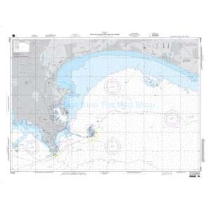
What Makes Western Africa and Mediterranean NGA Charts Ideal for Decorative Use?
These charts highlight the historic and diverse maritime regions of Western Africa and the Mediterranean. Featuring major trade routes and ancient ports, their detailed cartography makes them perfect for framing and displaying in offices, coastal residences, or shipping company headquarters. A chart of a meaningful location or historic trade route creates a personalized, conversation-worthy wall piece.
These charts highlight the historic and diverse maritime regions of Western Africa and the Mediterranean. Featuring major trade routes and ancient ports, their detailed cartography makes them perfect for framing and displaying in offices, coastal residences, or shipping company headquarters. A chart of a meaningful location or historic trade route creates a personalized, conversation-worthy wall piece.
Why Buy Western Africa and Mediterranean NGA Charts from The Map Shop?
With over 30 years of experience, The Map Shop is a trusted source for maritime charts. We print every NGA chart in-house in Charlotte, NC using high-quality materials and expert finishing techniques. Thousands of charts are available for quick production, mounting, and framing, ensuring reliable service and premium results. Read reviews here or learn about our history here.
With over 30 years of experience, The Map Shop is a trusted source for maritime charts. We print every NGA chart in-house in Charlotte, NC using high-quality materials and expert finishing techniques. Thousands of charts are available for quick production, mounting, and framing, ensuring reliable service and premium results. Read reviews here or learn about our history here.