What Are North Pacific, South Pacific, and Polynesia NGA Charts?
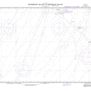
These NGA charts are official maritime maps historically produced by the National Geospatial-Intelligence Agency to document the vast waterways and ports of the Pacific Ocean. They provide detailed hydrographic information including island coastlines, reefs, depth soundings, and major shipping routes that connect Asia, Oceania, and the Americas. While no longer updated for active navigation, these charts remain valuable for reference, educational use, and decorative display.
These NGA charts are official maritime maps historically produced by the National Geospatial-Intelligence Agency to document the vast waterways and ports of the Pacific Ocean. They provide detailed hydrographic information including island coastlines, reefs, depth soundings, and major shipping routes that connect Asia, Oceania, and the Americas. While no longer updated for active navigation, these charts remain valuable for reference, educational use, and decorative display.
What Are the Different Types of North Pacific, South Pacific, and Polynesia NGA Charts?
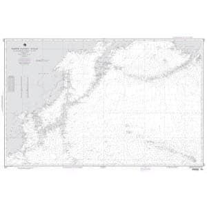
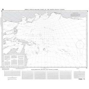
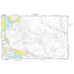
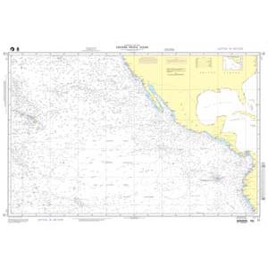
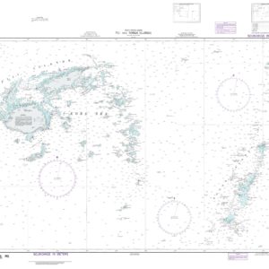
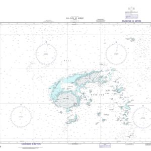
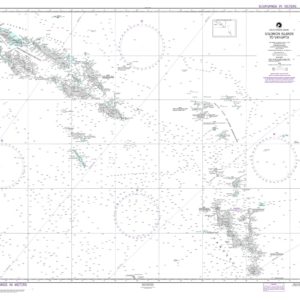
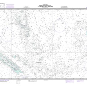
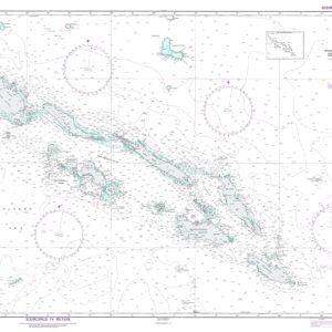
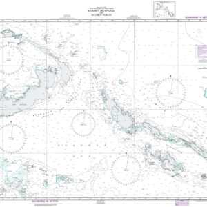
Our NGA chart collection includes maps of Alaska’s Aleutian Islands, Hawaiian waters, Polynesian territories, Micronesia, Melanesia, and South Pacific island nations. These charts document remote islands, coral reefs, deep-sea trenches, and major Pacific shipping lanes, making them ideal for collectors, historians, and maritime-themed décor.
Our NGA chart collection includes maps of Alaska’s Aleutian Islands, Hawaiian waters, Polynesian territories, Micronesia, Melanesia, and South Pacific island nations. These charts document remote islands, coral reefs, deep-sea trenches, and major Pacific shipping lanes, making them ideal for collectors, historians, and maritime-themed décor.
Are Pacific NGA Charts Updated?
No. NGA printed charts are no longer updated for modern navigation. They are preserved for their historical and cartographic value. For those who want current information, we offer custom nautical charts created from the latest digital maritime data. Create your custom chart here.
No. NGA printed charts are no longer updated for modern navigation. They are preserved for their historical and cartographic value. For those who want current information, we offer custom nautical charts created from the latest digital maritime data. Create your custom chart here.
What Areas Do Pacific NGA Charts Cover?
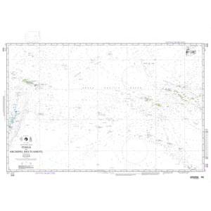
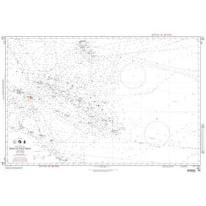
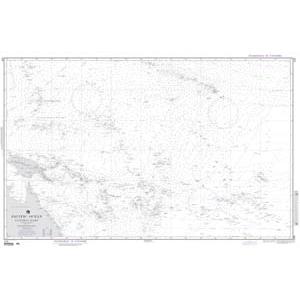
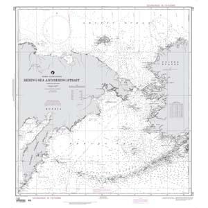
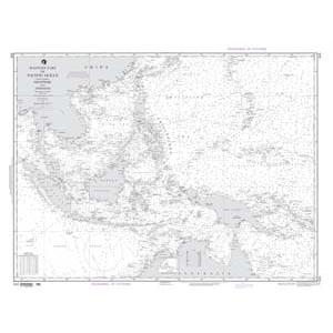
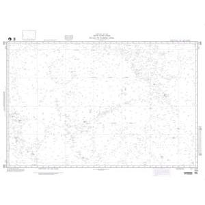
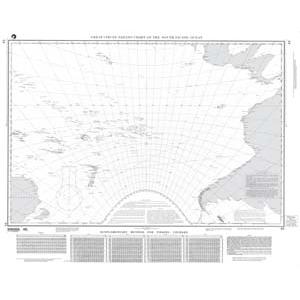
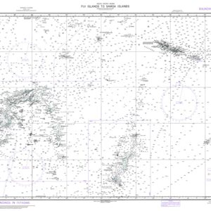
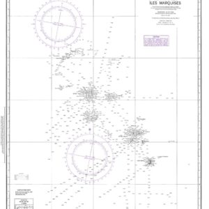
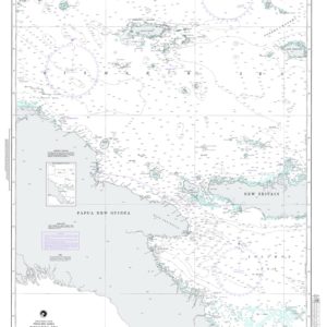
These NGA charts cover the North Pacific from Alaska across the Bering Sea, Hawaii, and the Pacific Islands, as well as South Pacific regions including Fiji, Samoa, Tahiti, and French Polynesia. Major transoceanic routes linking Asia, Australia, and the Americas are detailed along with important shipping lanes and fishing grounds.
These NGA charts cover the North Pacific from Alaska across the Bering Sea, Hawaii, and the Pacific Islands, as well as South Pacific regions including Fiji, Samoa, Tahiti, and French Polynesia. Major transoceanic routes linking Asia, Australia, and the Americas are detailed along with important shipping lanes and fishing grounds.
Can I Order a Custom Pacific or Polynesia Chart?
Yes. We can produce a custom NGA chart focused on any Pacific region or Polynesian island group. Specify your preferred area, scale, and chart format, and we will create a chart tailored to your needs. Custom charts can be printed on paper or waterproof material and mounted or framed for decorative display. Design your custom chart here.
Yes. We can produce a custom NGA chart focused on any Pacific region or Polynesian island group. Specify your preferred area, scale, and chart format, and we will create a chart tailored to your needs. Custom charts can be printed on paper or waterproof material and mounted or framed for decorative display. Design your custom chart here.
What Finishing Options Are Available?
Pacific NGA charts can be printed on standard bond paper or waterproof synthetic material. We offer mounting on foam board and professional framing services to transform these large-format charts into durable, ready-to-hang artwork. Mounted charts are ideal for pin tracking, while framed versions provide a polished, long-lasting display. View finishing options here.
Pacific NGA charts can be printed on standard bond paper or waterproof synthetic material. We offer mounting on foam board and professional framing services to transform these large-format charts into durable, ready-to-hang artwork. Mounted charts are ideal for pin tracking, while framed versions provide a polished, long-lasting display. View finishing options here.
Can I Find a Specific NGA Chart by Number?
Yes. Use the search bar at the top-right corner of our website to locate a chart by number. You can also browse this category to visually explore all available North Pacific, South Pacific, and Polynesia NGA charts.
Yes. Use the search bar at the top-right corner of our website to locate a chart by number. You can also browse this category to visually explore all available North Pacific, South Pacific, and Polynesia NGA charts.
What Makes Pacific and Polynesia NGA Charts Ideal for Decorative Use?
These charts highlight the remote islands, wide ocean expanses, and historic maritime routes of the Pacific. Their detailed cartography makes them perfect for framing and displaying in homes, offices, or yacht clubs. A chart of a meaningful island chain or transoceanic route adds a personalized, conversation-worthy decorative piece.
These charts highlight the remote islands, wide ocean expanses, and historic maritime routes of the Pacific. Their detailed cartography makes them perfect for framing and displaying in homes, offices, or yacht clubs. A chart of a meaningful island chain or transoceanic route adds a personalized, conversation-worthy decorative piece.
Why Buy Pacific and Polynesia NGA Charts from The Map Shop?
With over 30 years of experience, The Map Shop is a trusted source for maritime charts. We print every NGA chart in-house in Charlotte, NC using premium materials and expert finishing techniques. With thousands of charts available for quick printing, mounting, and framing, we ensure top-quality results and reliable service. Read reviews here or learn more about our company here.
With over 30 years of experience, The Map Shop is a trusted source for maritime charts. We print every NGA chart in-house in Charlotte, NC using premium materials and expert finishing techniques. With thousands of charts available for quick printing, mounting, and framing, we ensure top-quality results and reliable service. Read reviews here or learn more about our company here.