What Are Caribbean, Central and South America NGA Charts?
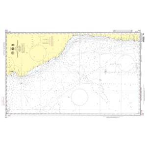
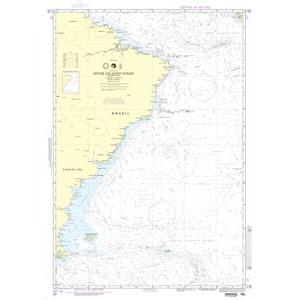
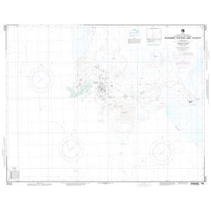
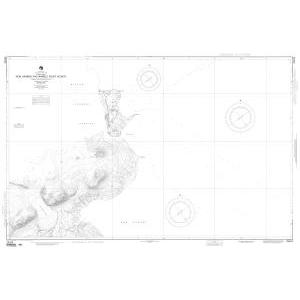
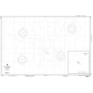
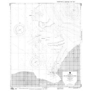
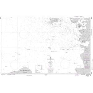
These NGA charts are official maritime maps produced by the National Geospatial-Intelligence Agency to document the coastlines, ports, and offshore waters of the Caribbean, Central America, and South America. They provide detailed hydrographic information including depth soundings, channels, shipping routes, and harbor layouts. While no longer updated for navigation, these charts remain valuable for reference, educational use, and as decorative pieces highlighting the region’s maritime geography.
These NGA charts are official maritime maps produced by the National Geospatial-Intelligence Agency to document the coastlines, ports, and offshore waters of the Caribbean, Central America, and South America. They provide detailed hydrographic information including depth soundings, channels, shipping routes, and harbor layouts. While no longer updated for navigation, these charts remain valuable for reference, educational use, and as decorative pieces highlighting the region’s maritime geography.
What Are the Different Types of Caribbean and South American NGA Charts?
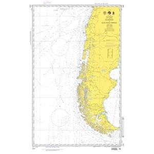
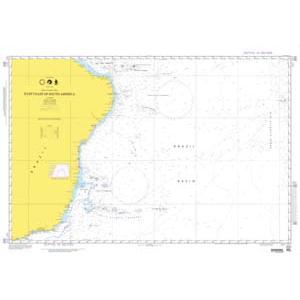
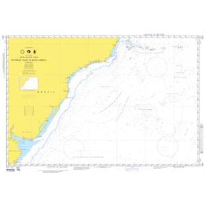
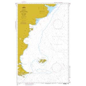
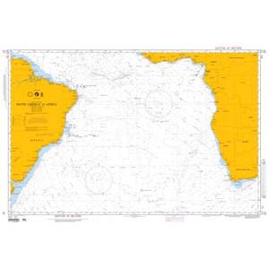
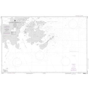
Our collection includes NGA charts covering the entire Caribbean Sea and adjacent waters. This includes the Bahamas, Cuba, Jamaica, Dominican Republic, Puerto Rico, the Lesser Antilles, and mainland regions of Mexico, Belize, Honduras, Nicaragua, Costa Rica, and Panama. South American charts cover northern coastlines along Colombia and Venezuela, the Brazilian coast, and southern regions extending to Argentina and Chile. Each chart provides accurate cartographic details, making them ideal for collectors, educators, and maritime décor.
Our collection includes NGA charts covering the entire Caribbean Sea and adjacent waters. This includes the Bahamas, Cuba, Jamaica, Dominican Republic, Puerto Rico, the Lesser Antilles, and mainland regions of Mexico, Belize, Honduras, Nicaragua, Costa Rica, and Panama. South American charts cover northern coastlines along Colombia and Venezuela, the Brazilian coast, and southern regions extending to Argentina and Chile. Each chart provides accurate cartographic details, making them ideal for collectors, educators, and maritime décor.
Are Caribbean and South American NGA Charts Updated?
No. NGA printed charts are no longer updated for modern navigation. They are preserved for their historical and cartographic value. If you need current information in a printed format, we offer custom international charts generated from the latest digital data. Create your custom chart here.
No. NGA printed charts are no longer updated for modern navigation. They are preserved for their historical and cartographic value. If you need current information in a printed format, we offer custom international charts generated from the latest digital data. Create your custom chart here.
What Areas Do Caribbean and South American NGA Charts Cover?
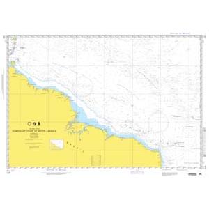
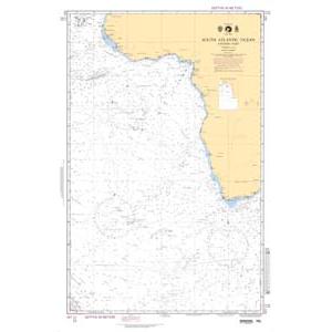
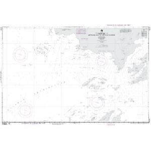
These NGA charts cover the entire Caribbean basin including major island nations and territories. They also document the Central American coastline from Mexico through Panama and extend down the eastern coast of South America to Argentina. Key regions include the Panama Canal, Caribbean shipping routes, Brazilian ports, and southern Atlantic approaches.
These NGA charts cover the entire Caribbean basin including major island nations and territories. They also document the Central American coastline from Mexico through Panama and extend down the eastern coast of South America to Argentina. Key regions include the Panama Canal, Caribbean shipping routes, Brazilian ports, and southern Atlantic approaches.
Can I Order a Custom Caribbean or South American Chart?
Yes. We can create custom NGA charts for any location within the Caribbean, Central America, or South America. Specify your preferred area, scale, and format to highlight a home port, shipping lane, or favorite sailing region. Custom charts can be printed on standard or waterproof paper and mounted or framed for professional-quality displays. Design your custom chart here.
Yes. We can create custom NGA charts for any location within the Caribbean, Central America, or South America. Specify your preferred area, scale, and format to highlight a home port, shipping lane, or favorite sailing region. Custom charts can be printed on standard or waterproof paper and mounted or framed for professional-quality displays. Design your custom chart here.
What Finishing Options Are Available?
Caribbean and South American NGA charts can be printed on standard paper or waterproof synthetic material. Mounting on foam board and custom framing services are available to turn these charts into durable, ready-to-hang artwork. These options are perfect for offices, shipping companies, and coastal residences. View finishing options here.
Caribbean and South American NGA charts can be printed on standard paper or waterproof synthetic material. Mounting on foam board and custom framing services are available to turn these charts into durable, ready-to-hang artwork. These options are perfect for offices, shipping companies, and coastal residences. View finishing options here.
Can I Find a Specific NGA Chart by Number?
Yes. Enter the chart number in the search bar at the top-right corner of our website to locate your chart quickly. You can also browse this category to visually explore the available Caribbean and South American NGA charts.
Yes. Enter the chart number in the search bar at the top-right corner of our website to locate your chart quickly. You can also browse this category to visually explore the available Caribbean and South American NGA charts.
What Makes Caribbean and South American NGA Charts Ideal for Decorative Use?
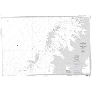
These charts showcase the unique maritime geography of the Caribbean and South American coasts. Their detailed hydrography and large scale make them perfect for framing and displaying in coastal homes, yacht clubs, or offices. A chart of a meaningful island, port, or route adds a personal and conversation-worthy decorative element.
These charts showcase the unique maritime geography of the Caribbean and South American coasts. Their detailed hydrography and large scale make them perfect for framing and displaying in coastal homes, yacht clubs, or offices. A chart of a meaningful island, port, or route adds a personal and conversation-worthy decorative element.
Why Buy Caribbean and South American NGA Charts from The Map Shop?
The Map Shop has over 30 years of experience printing and finishing maritime charts. We print every NGA chart in-house in Charlotte, NC using premium materials and expert techniques. With thousands of charts available for quick printing, mounting, and framing, we guarantee quality and dependable service. Read customer reviews here or learn about our company here.
The Map Shop has over 30 years of experience printing and finishing maritime charts. We print every NGA chart in-house in Charlotte, NC using premium materials and expert techniques. With thousands of charts available for quick printing, mounting, and framing, we guarantee quality and dependable service. Read customer reviews here or learn about our company here.