What Are Northeastern US NOAA Charts?
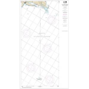
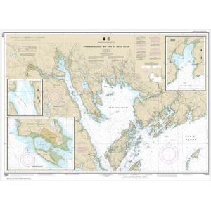
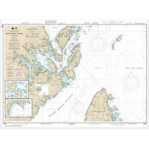
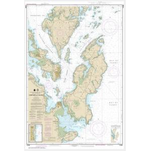
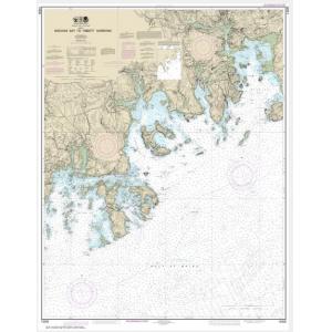
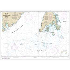
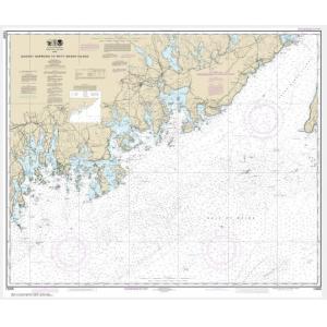
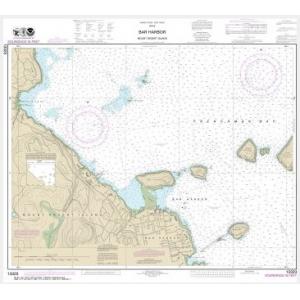
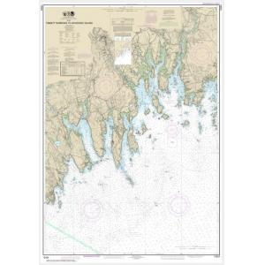
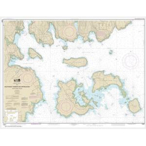
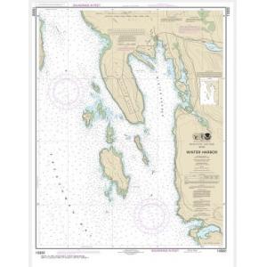
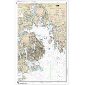
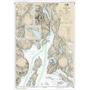
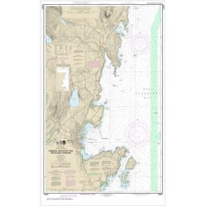
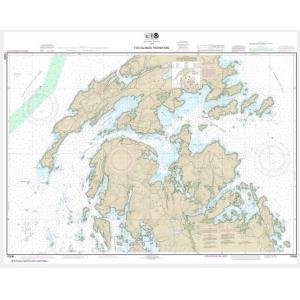
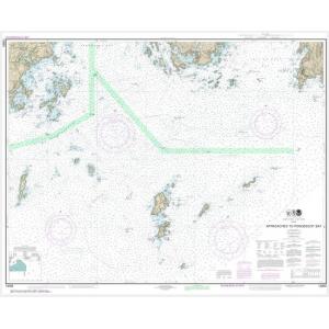
Northeastern US NOAA charts are official maritime maps historically produced by the National Oceanic and Atmospheric Administration to chart the coastal waters of the Northeastern United States. These charts feature detailed hydrographic information including depth soundings, shoreline structures, navigation aids, and harbor layouts. While these printed charts are no longer updated for navigation, they remain valuable for reference, education, and decorative display, capturing the maritime history of the region.
Northeastern US NOAA charts are official maritime maps historically produced by the National Oceanic and Atmospheric Administration to chart the coastal waters of the Northeastern United States. These charts feature detailed hydrographic information including depth soundings, shoreline structures, navigation aids, and harbor layouts. While these printed charts are no longer updated for navigation, they remain valuable for reference, education, and decorative display, capturing the maritime history of the region.
What Are the Different Types of Northeastern US NOAA Charts?
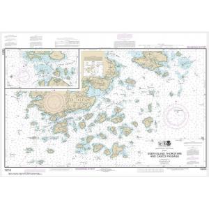
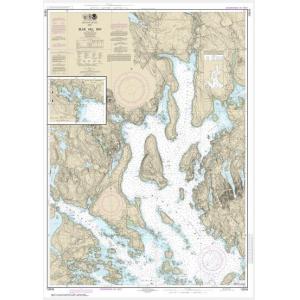
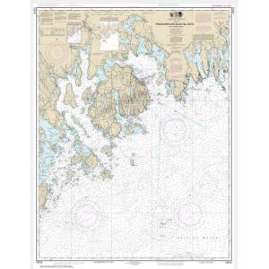
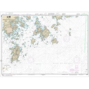
Our collection includes NOAA charts for major Northeastern states and waterways. These charts cover Maine’s rocky coastline, New Hampshire’s ports, Massachusetts and Cape Cod, Rhode Island’s Narragansett Bay, Connecticut’s Long Island Sound, New York’s harbors, and New Jersey’s coastal areas. Charts also document bays, estuaries, and offshore Atlantic fishing grounds. Each chart provides detailed cartographic information, making them ideal for collectors and as authentic wall décor.
Our collection includes NOAA charts for major Northeastern states and waterways. These charts cover Maine’s rocky coastline, New Hampshire’s ports, Massachusetts and Cape Cod, Rhode Island’s Narragansett Bay, Connecticut’s Long Island Sound, New York’s harbors, and New Jersey’s coastal areas. Charts also document bays, estuaries, and offshore Atlantic fishing grounds. Each chart provides detailed cartographic information, making them ideal for collectors and as authentic wall décor.
Are Northeastern US NOAA Charts Updated?
No. NOAA has retired its printed chart program, and these charts are no longer updated. They are preserved for their historical and cartographic value. If you need a chart with current information but prefer the traditional printed look, we offer custom nautical charts generated from NOAA’s latest digital data. Create a custom Northeastern chart here.
No. NOAA has retired its printed chart program, and these charts are no longer updated. They are preserved for their historical and cartographic value. If you need a chart with current information but prefer the traditional printed look, we offer custom nautical charts generated from NOAA’s latest digital data. Create a custom Northeastern chart here.
What Areas Do Northeastern US NOAA Charts Cover?
Northeastern NOAA charts cover the coastline from Maine down to New Jersey, including major waterways such as Boston Harbor, Narragansett Bay, Long Island Sound, New York Harbor, Delaware Bay, and the coastal Atlantic fishing regions. They offer detailed depictions of ports, channels, and navigational landmarks across the entire Northeastern seaboard.
Northeastern NOAA charts cover the coastline from Maine down to New Jersey, including major waterways such as Boston Harbor, Narragansett Bay, Long Island Sound, New York Harbor, Delaware Bay, and the coastal Atlantic fishing regions. They offer detailed depictions of ports, channels, and navigational landmarks across the entire Northeastern seaboard.
Can I Order a Custom Northeastern Chart?
Yes. We can create custom Northeastern charts for any location within this region. Choose your area of interest, scale, and paper type to highlight your home port, favorite boating destination, or fishing area. Custom charts can be mounted or framed for a professional decorative finish. Design your custom Northeastern chart here.
Yes. We can create custom Northeastern charts for any location within this region. Choose your area of interest, scale, and paper type to highlight your home port, favorite boating destination, or fishing area. Custom charts can be mounted or framed for a professional decorative finish. Design your custom Northeastern chart here.
What Finishing Options Are Available?
Northeastern US NOAA charts can be printed on standard paper or waterproof synthetic material. We offer mounting and framing services that transform these charts into ready-to-hang art pieces. Mounted charts are ideal for pin tracking, while framed versions create polished wall displays for homes, offices, and coastal venues. View finishing options here.
Northeastern US NOAA charts can be printed on standard paper or waterproof synthetic material. We offer mounting and framing services that transform these charts into ready-to-hang art pieces. Mounted charts are ideal for pin tracking, while framed versions create polished wall displays for homes, offices, and coastal venues. View finishing options here.
Can I Find a Specific Northeastern NOAA Chart by Number?
Yes. Use the search bar at the top-right of our website to enter your chart number and find it quickly. You can also browse this category to visually locate the chart you need.
Yes. Use the search bar at the top-right of our website to enter your chart number and find it quickly. You can also browse this category to visually locate the chart you need.
What Makes Northeastern US NOAA Charts Ideal for Decorative Use?
These charts capture the rich maritime history and detailed coastlines of the Northeastern United States. Their large format and intricate hydrography make them excellent for framing and displaying in coastal homes, offices, and yacht clubs. Choosing a chart of a meaningful port or sailing route creates a personalized, conversation-worthy wall piece.
These charts capture the rich maritime history and detailed coastlines of the Northeastern United States. Their large format and intricate hydrography make them excellent for framing and displaying in coastal homes, offices, and yacht clubs. Choosing a chart of a meaningful port or sailing route creates a personalized, conversation-worthy wall piece.
Why Buy Northeastern US NOAA Charts from The Map Shop?
The Map Shop has over 30 years of experience printing NOAA charts with precision and care. We print every Northeastern chart in-house in Charlotte, NC using high-quality materials and expert finishing techniques. Thousands of charts are available for quick production, mounting, and framing, ensuring top quality and fast turnaround. Read customer reviews here or learn more about our company here.
The Map Shop has over 30 years of experience printing NOAA charts with precision and care. We print every Northeastern chart in-house in Charlotte, NC using high-quality materials and expert finishing techniques. Thousands of charts are available for quick production, mounting, and framing, ensuring top quality and fast turnaround. Read customer reviews here or learn more about our company here.