
Massachusetts Maps
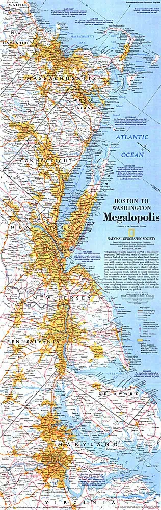
Massachusetts maps cover the state, its counties and cities such as Boston and Springfield in wall, folding and art formats. Kappa and Globe Turner publish state wall maps, and Kappa adds a shaded relief version. MapSherpa handles county and ZIP code maps, including a statewide ZIP code map with counties and Worcester County. For travel, Rand McNally folding maps cover the state, Greater Boston and Boston, while DeLorme publishes the Massachusetts Atlas & Gazetteer. City Prints makes map art of Boston, the Boston Marathon course and campuses like Boston College, Boston University and UMass Amherst.

Price range: $109.99 through $1,544.99
Price range: $54.99 through $239.99

Price range: $79.99 through $1,094.99

Price range: $89.99 through $1,579.99

Price range: $109.99 through $1,549.99

Price range: $254.99 through $1,649.99

Price range: $84.99 through $724.99

Price range: $84.99 through $724.99

Price range: $94.99 through $729.99

Price range: $64.99 through $469.99

Price range: $249.99 through $389.99

Price range: $39.00 through $229.00

Price range: $39.00 through $229.00

Price range: $39.00 through $229.00

Price range: $39.00 through $229.00

Price range: $94.99 through $729.99

Price range: $84.99 through $724.99

Price range: $94.99 through $894.99

Price range: $84.99 through $879.99

Price range: $39.00 through $249.00

Price range: $39.00 through $249.00

Price range: $39.00 through $229.00

Price range: $39.00 through $229.00

Price range: $39.00 through $229.00