
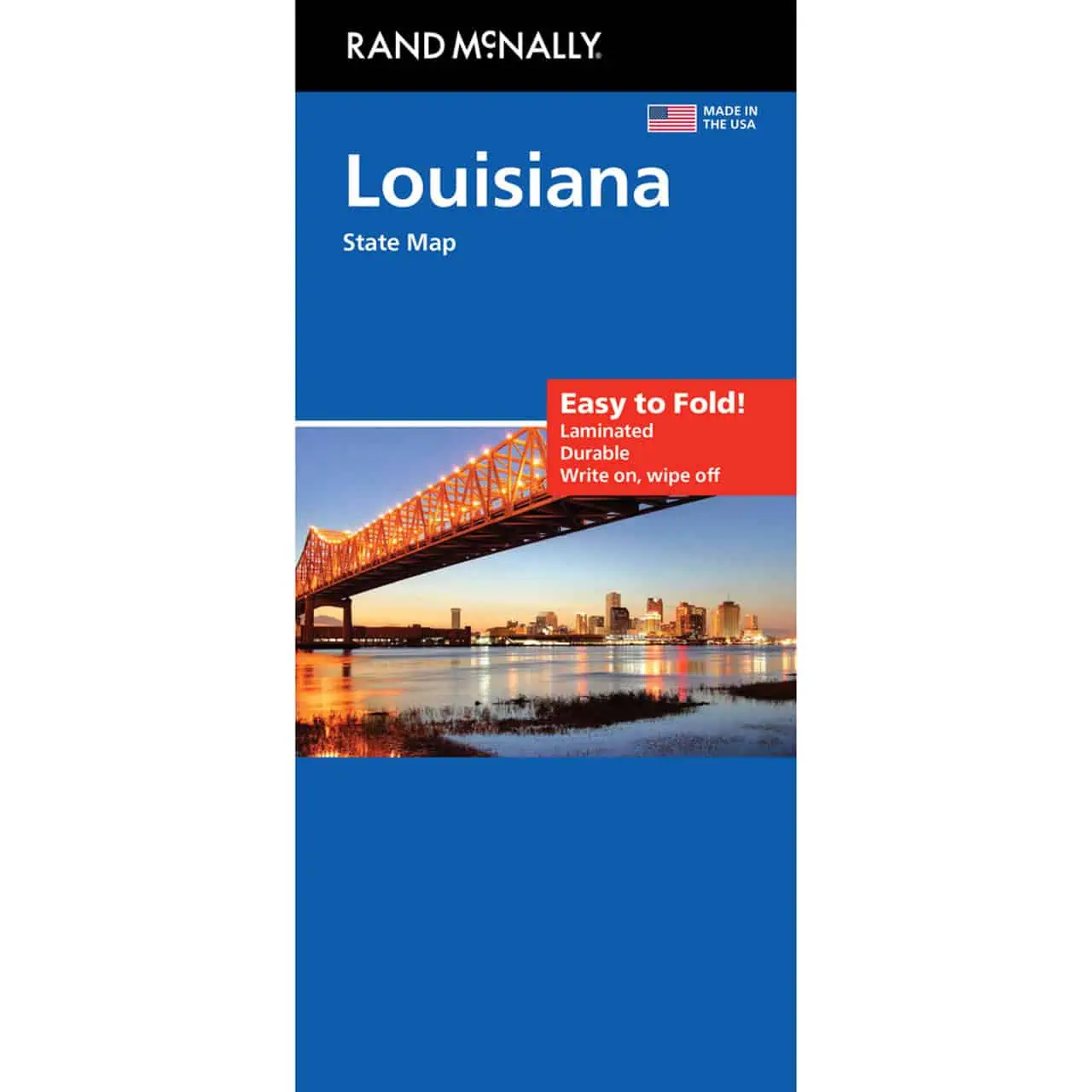


Rand McNally – Louisiana, Easy to Fold – Folding Travel Map
$10.99
The durable and convenient Rand McNally maps will take all the wear and tear your journey can dish out.
In stock
Normally ships in: 2-3 days.
$10.99
Louisiana Easy to Fold Map
A folding travel map from Rand McNally’s Easy to Fold line, covering the whole state from Shreveport and Monroe down to New Orleans and the Gulf Coast. The panels open one section at a time, so you can check a single stretch of road without spreading the full sheet across the dashboard.
Road trippers crossing Acadiana use it for route planning. Drivers on the long I-10 corridor between Texas and Mississippi keep one handy, and so do sales reps covering Louisiana territory. A paper copy in the glove box still works where cell signal drops, such as the Atchafalaya Basin and the rural northern parishes. Map Shop carries it for travelers who want the full state at a glance, not a phone-sized slice of it.
| Reporting Category | Retail |
|---|---|
| Product Category | Folding Maps |
| Average Cost | 4.4953 |
| Label 0 - Google Product Category | LP – Travel Maps, Atlases & Books |
| Publisher | Rand McNally |
| Days to Ship | 3 |
| Print on Demand | NO |
| Size | 18" x 17" |
| Published | 2021 |
| Map Type | Folding Map |