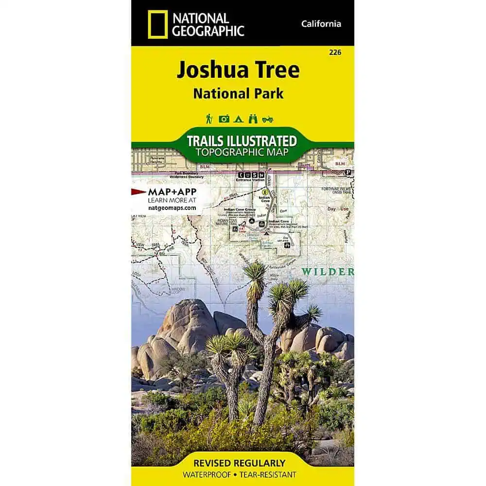
Joshua Tree National Park Trail Map
This map covers the seam where two deserts collide: the low, hot Colorado Desert to the east and the higher Mojave to the west, in southeastern California. National Geographic built this Trails Illustrated title in partnership with local land management agencies, so the trail data matches what rangers actually post at the trailhead.
- Marked trails with mileages between intersections, plus contour lines and elevations for summits and passes
- Key areas including Black Rock Canyon, Lost Horse Valley, Indian Cove, Cottonwood, Chuckwalla Valley, and the Pinto Mountains
- Recreation detail: interpretive trails, campgrounds, picnic areas, horse camps, and points of interest
- Full UTM grid for GPS work, printed on Backcountry Tough waterproof, tear-resistant paper
- Surrounding coverage: Twentynine Palms, Yucca Valley, Palm Desert, Rancho Mirage, Indio, Cathedral City, the Little San Bernardino Mountains, Eagle and Coxcomb Mountains, Cadiz Valley, and Hayfield Lake
Day hikers plan loops on it the night before, campers keep it in the truck when cell signal disappears past Cottonwood, and horseback riders and Coachella Valley locals use it to sort out which washes and access roads connect. A folding map in the pack still works when the phone battery does not.


