
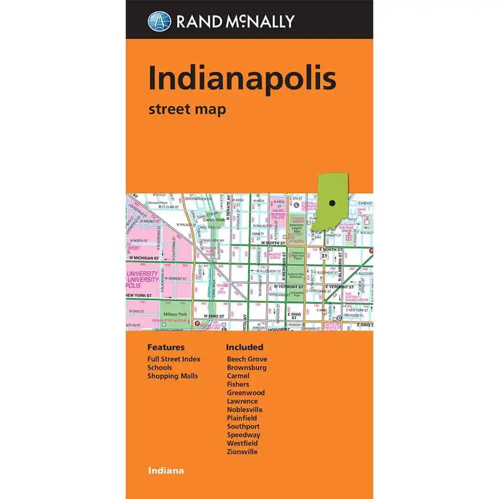
Rand McNally’s folded map for Indianapolis is a must-have for anyone traveling in and around this part of Indiana, offering unbeatable accuracy and reliability at a great price. Our trusted cartography shows all Interstate, U.S., state, and county highways, along with clearly indicated parks, points of interest, airports, county boundaries, and streets. The easy-to-use legend and detailed index make for quick and easy location of destinations. You’ll see why Rand McNally folded maps have been the trusted standard for years.
- Regularly updated
- Full-color maps
- Clearly labeled Interstate, U.S., state, and county highways
- Indications of parks, points of interest, airports, county boundaries, schools, shopping malls, downtown and vicinity maps
- Easy-to-use legend
- Detailed and full street index
- Convenient folded size
We love technology and enjoy the convenience of GPS, but you can’t plan a trip on a phone screen and navigation doesn’t work where there’s no cell signal. Start your next trip on the right foot with a high-quality folding travel map. Make the most of your next adventure, even if you lose GPS or cell signals. You’ll always be on the correct route with our folding travel maps. Your adventure starts here!
Coverage Includes
Beech Grove, Brownsburg, Carmel, Fisher, Greenwood, Lawrence, Noblesville, Plainsfield, Southport, Speedway, Westfield, Zionsville
About the Author
With the iconic Road Atlas leading the way, Rand McNally products have helped travelers make the most of their road trips for more than 100 years. Our line of atlases, maps, activity books, and other fine publications are developed to inspire an interest in the world and enrich life’s journey
| Reporting Category | Retail |
|---|---|
| Product Category | Folding Maps |
| Average Cost | 4.045 |
| Label 0 - Google Product Category | LP – Travel Maps, Atlases & Books |
| Publisher | Rand McNally |
| Days to Ship | 3 |
| Print on Demand | NO |
| Size | 28" x 40" |
| Published | 2026 |
| Map Type | Folding Map |