What Are Folding International City Maps?
International city maps are detailed, portable maps that focus on street-level navigation for major cities worldwide. They highlight key districts, attractions, public transportation networks, and local services, offering travelers a complete guide to navigating urban environments abroad.
International city maps are detailed, portable maps that focus on street-level navigation for major cities worldwide. They highlight key districts, attractions, public transportation networks, and local services, offering travelers a complete guide to navigating urban environments abroad.
Why Use a Paper City Map Instead of GPS When Traveling Abroad?
GPS can fail in dense city areas due to poor signal reception, inaccurate data, or battery limitations. A printed city map provides uninterrupted navigation and allows you to see the entire city layout at a glance. This helps you plan walking routes, locate landmarks, and move confidently through unfamiliar neighborhoods.
GPS can fail in dense city areas due to poor signal reception, inaccurate data, or battery limitations. A printed city map provides uninterrupted navigation and allows you to see the entire city layout at a glance. This helps you plan walking routes, locate landmarks, and move confidently through unfamiliar neighborhoods.
What Types of International City Maps Are Available?
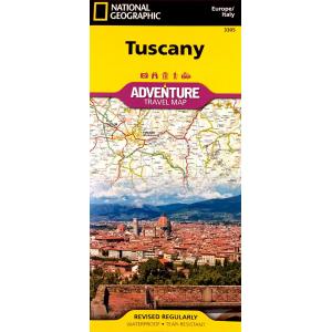
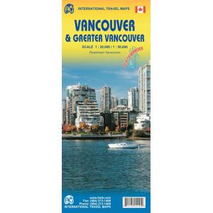
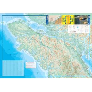
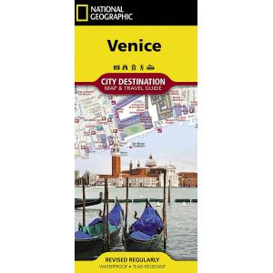
We offer folding city maps for popular destinations across Europe, Asia, South America, North America, and Oceania. Each map features detailed street grids, major highways, transit lines, and tourist highlights, making them perfect for sightseeing, business trips, or extended stays.
We offer folding city maps for popular destinations across Europe, Asia, South America, North America, and Oceania. Each map features detailed street grids, major highways, transit lines, and tourist highlights, making them perfect for sightseeing, business trips, or extended stays.
How Are International City Maps Different from Country or Continent Maps?
City maps zoom in on metropolitan areas, offering precise street-level navigation that broader country or continent maps cannot provide. They highlight public transportation, neighborhoods, and attractions in detail, making them essential for efficiently navigating busy cities abroad.
City maps zoom in on metropolitan areas, offering precise street-level navigation that broader country or continent maps cannot provide. They highlight public transportation, neighborhoods, and attractions in detail, making them essential for efficiently navigating busy cities abroad.
Are Folding International City Maps Good for Tourists?
Yes. International city maps are perfect for tourists who want to explore cultural landmarks, restaurants, shopping districts, and historical sites without relying solely on technology. Their portability makes them easy to carry and reference on walking tours or public transit.
Yes. International city maps are perfect for tourists who want to explore cultural landmarks, restaurants, shopping districts, and historical sites without relying solely on technology. Their portability makes them easy to carry and reference on walking tours or public transit.
Do International City Maps Include Points of Interest?
Most city maps mark museums, monuments, theaters, parks, and major attractions. They also include practical details such as hotel locations, subway stations, and pedestrian pathways, helping travelers make the most of their city visit.
Most city maps mark museums, monuments, theaters, parks, and major attractions. They also include practical details such as hotel locations, subway stations, and pedestrian pathways, helping travelers make the most of their city visit.
What Finishes Are Available for International City Maps?
Our city maps are typically printed on durable paper, with select editions available in laminated or waterproof finishes. These finishes make them ideal for repeat use and outdoor conditions while traveling.
Our city maps are typically printed on durable paper, with select editions available in laminated or waterproof finishes. These finishes make them ideal for repeat use and outdoor conditions while traveling.
How Often Are International City Maps Updated?
City folding maps are updated every one to two years to reflect new roads, transit changes, and updated attractions. When you purchase from The Map Shop, you’ll receive the most current edition available for your destination.
City folding maps are updated every one to two years to reflect new roads, transit changes, and updated attractions. When you purchase from The Map Shop, you’ll receive the most current edition available for your destination.
Why Buy Folding International City Maps from The Map Shop?
Since 1990, The Map Shop has been a trusted source for accurate and dependable printed maps worldwide. We stock international city maps from leading publishers recognized for their clarity and reliability. Every order is inspected and shipped from our Charlotte, NC facility, ensuring you receive a high-quality navigation tool for your travels.
Since 1990, The Map Shop has been a trusted source for accurate and dependable printed maps worldwide. We stock international city maps from leading publishers recognized for their clarity and reliability. Every order is inspected and shipped from our Charlotte, NC facility, ensuring you receive a high-quality navigation tool for your travels.