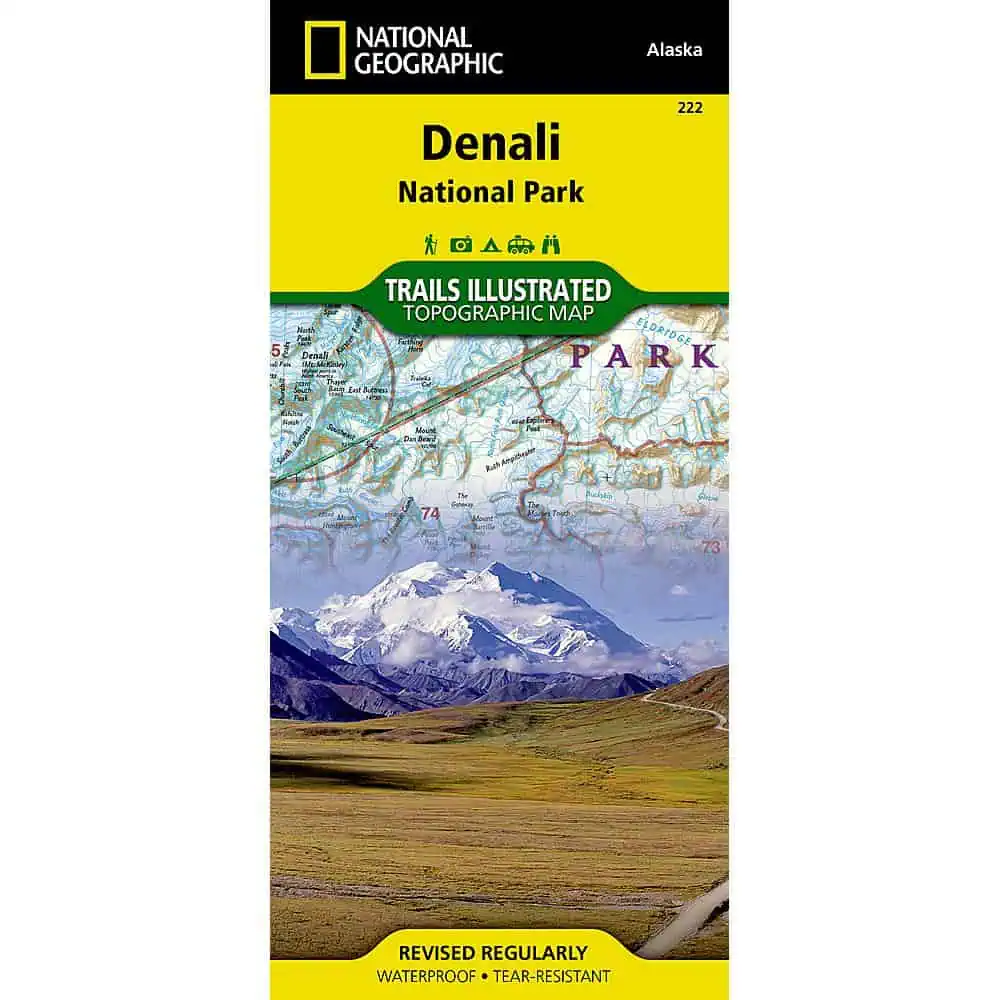
Denali National Park Trail Map
Six million acres of Alaska wilderness, and a single road running through it. National Geographic’s Trails Illustrated edition, researched with local land management agencies, covers the park and preserve along with Denali State Park, the Kroto, Moose Creek and Lake Creek recreation rivers, Lake Minchumina, and the Kantishna Mining District.
The base carries contour lines and elevations for summits, passes and lakes, with Denali itself, North America’s highest peak, anchoring the Alaska Range. An inset details the park entrance and headquarters. A campground chart lists distance from the entrance, number and type of spaces, facilities, access and reservation contacts. Since private vehicle travel is restricted, shuttle bus coverage is mapped out, alongside trailheads, rental cabins, bush airstrips, bear safety guidance and park regulations.
- Waterproof, tear-resistant Backcountry Tough paper
- Full UTM grid for GPS use
- Folds flat for a pack lid


