Custom Map Builder Examples
Click any of the images below to see full size PDF examples of the final maps.
Please make sure you are viewing the PDFs at 100% when viewing to see the detail your map will contain when printed.
Click any of the images below to see full size PDF examples of the final maps.
Please make sure you are viewing the PDFs at 100% when viewing to see the detail your map will contain when printed.
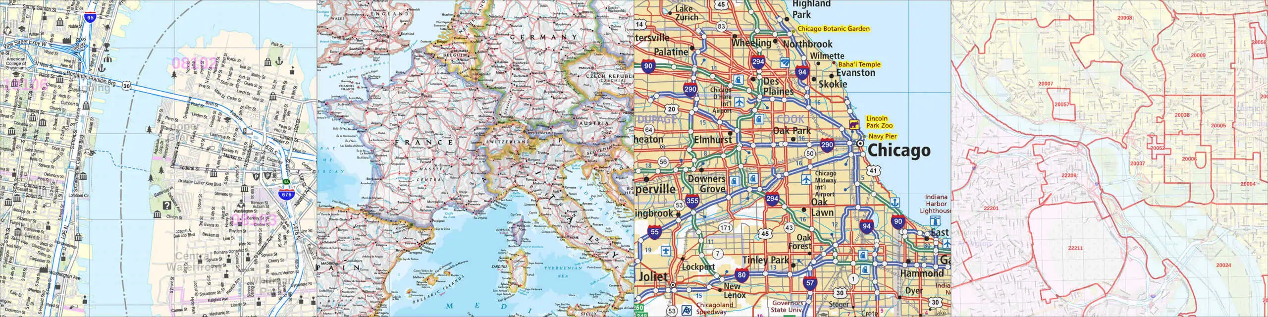
Click any of the images below to see full size PDF examples of the final maps. Please make sure you are viewing the PDFs at 100% when viewing to see the detail your map will contain when printed.


Click any of the images below to see full size PDF examples of the final maps. Please make sure you are viewing the PDFs at 100% when viewing to see the detail your map will contain when printed.


Click any of the images below to see full size PDF examples of the final maps. Please make sure you are viewing the PDFs at 100% when viewing to see the detail your map will contain when printed.


Click any of the images below to see full size PDF examples of the final maps. Please make sure you are viewing the PDFs at 100% when viewing to see the detail your map will contain when printed.


Click any of the images below to see full size PDF examples of the final maps. Please make sure you are viewing the PDFs at 100% when viewing to see the detail your map will contain when printed.


Click any of the images below to see full size PDF examples of the final maps. Please make sure you are viewing the PDFs at 100% when viewing to see the detail your map will contain when printed.


Click any of the images below to see full size PDF examples of the final maps. Please make sure you are viewing the PDFs at 100% when viewing to see the detail your map will contain when printed.


