


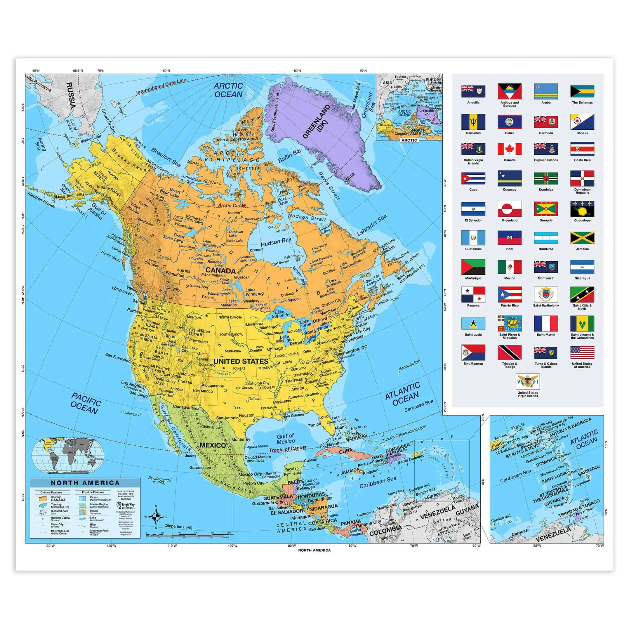
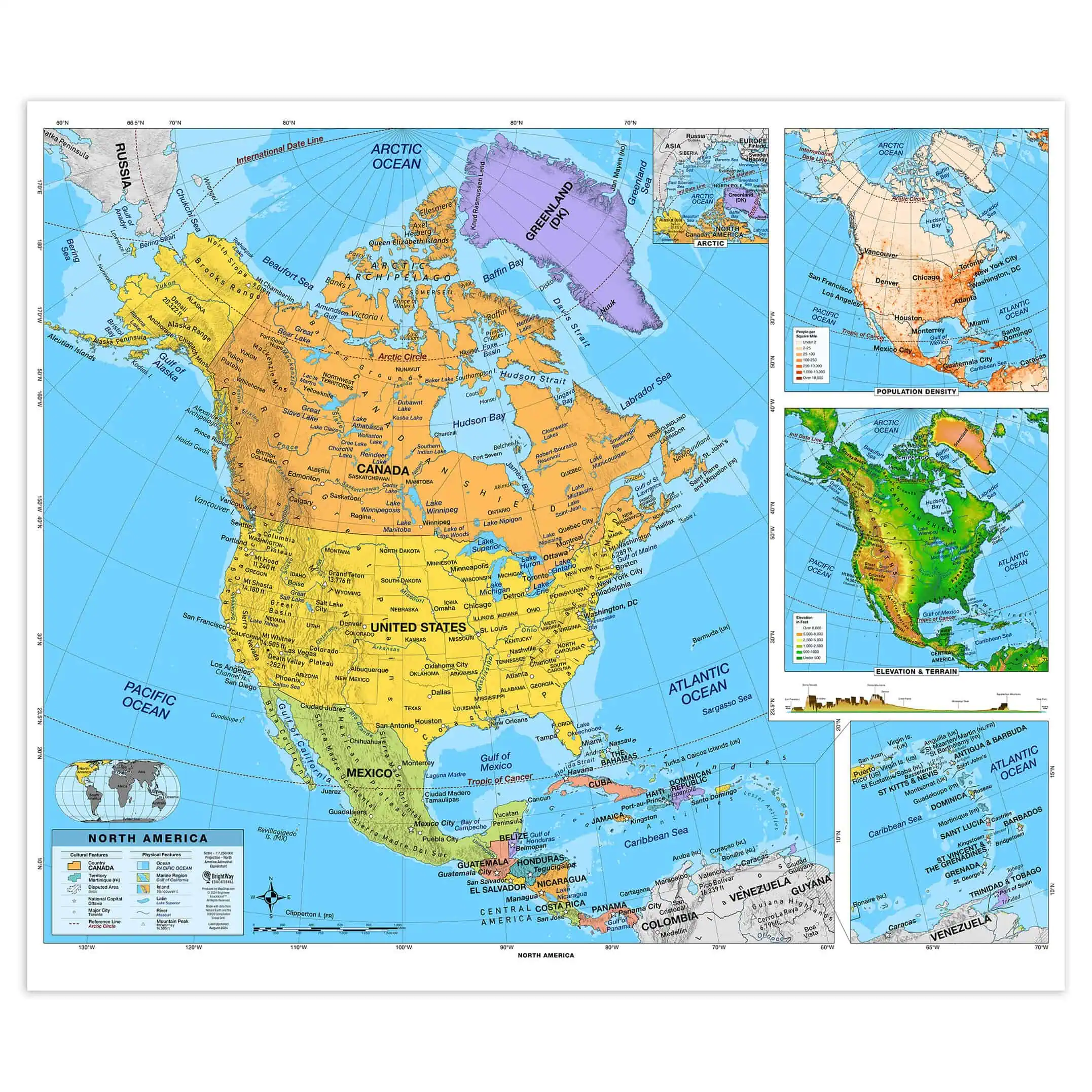


North America Intermediate Classroom Pull Down Map w/ Backboard by BrightWay Educational
Price range: $289.99 through $319.99
Grades 6-8
Also available as a standard wall map. Click here to purchase
Schools and Governments: Click here for purchase order instructions.
Spring Rollers
Spring rollers are the classic way large wall maps are displayed in classrooms, but the vintage style is also gaining popularity as interior design pieces at home or in the office. Pull the maps down when you need them and roll them away when you don't.


Each map is laminated then installed on the spring roller. The map in the back will have a pulldown bar to pull the map down and retract the map when you're done. A mounting bracket in included for installation but hardware for securing the bracket to your wall type will need to be purchased at your local hardware store depending on your wall material. Click here for more details on spring roller installation.
Returns
We want you to love your map. If you aren't satisfied, returns are accepted within 30 days for unfinished products.* Please contact us within 30 days of receiving your product to receive a return authorization number. Please note that shipping costs are non-refundable unless we made a mistake with your order.
*Finished products such as railed, mounted, and framed maps are not returnable because we make these on-demand just for you and do not stock them. If you have any questions about whether your order qualifies for a return, please contact us.