

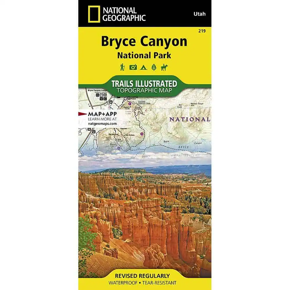


National Geographic – Bryce Canyon National Park – Trails Illustrated Folding Travel Map
$14.95
National Geographic’s Trails Illustrated map of Bryce Canyon National Park is designed to meet the needs of outdoor enthusiasts by combining valuable information with unmatched detail of this unique landscape of hoodoos and forest.
Publication: 2019 || Size: 25.5″ x 37.75″
In stock
National Geographic’s Trails Illustrated map of Bryce Canyon National Park is designed to meet the needs of outdoor enthusiasts by combining valuable information with unmatched detail of this unique landscape of hoodoos and forest. Created in partnership with local land management agencies, this expertly researched map will help you get the most from your visit with backpacking and day hike trail summaries, accurate road network, trailheads, campgrounds, lodging, and scenic viewpoints.
The map features many key points of interest including Rainbow Point, Ruby’s Inn, and Natural Bridge. Portions of Grand Staircase, Escalante National Monument and Dixie National Forest are included as well. The print map includes an inset of Bryce Amphitheater, information on the park’s geology, natural history, weather, history and culture, regulations, and more.
With miles of mapped trails including Great Western Trail, cross-country ski trails, and horse routes, this map can guide you off the beaten path and back again in some of the most breathtaking scenery in the region. Mileages between intersections are shown and the map base includes contour lines and elevations for summits and passes.
Every Trails Illustrated map is printed on “Backcountry Tough” waterproof, tear-resistant paper. A full UTM grid is printed on the map to aid with GPS navigation. We love technology and enjoy the convenience of GPS, but you can’t plan a trip on a phone screen and navigation doesn’t work where there’s no cell signal. Start your next trip on the right foot with a high-quality folding travel map. Make the most of your next adventure, even if you lose GPS or cell signals. You’ll always be on the correct route with our folding travel maps. Your adventure starts here!
Coverage Includes
Bryce Canyon National Park, Dixie National Forest, Pink Cliffs.
What is a Trails Illustrated Map?
With more than 250 titles available for America’s favorite outdoor destinations, Trails Illustrated maps are the most trusted and popular recreation maps available. Continually setting the standard for accuracy, each map is crafted in conjunction with local land managers and undergoes rigorous review and enhancement before being printed on waterproof, tear-resistant material. Each Trails Illustrated map contains detailed topographic information, clearly marked trails, recreational points of interest, and navigational aids.
About the Author
Founded in 1915 as the Map Department of the National Geographic Society, National Geographic Maps is responsible for illustrating the world around us through the art and science of mapmaking. Today, National Geographic Maps continues this mission by creating the world’s best wall maps, outdoor recreation maps, travel maps, atlases and globes that inspire people to care about and explore their world.
Back-Orders & Out of Stock Items
If the item is currently out of stock it will ship as soon as we can get it. This will be shown in the “Normally Ships in” section above. If the item is on backorder you will recieve an email with updates as we recieve them. Our goal is to get your products to you a quickly as possible!
Returns
We offer free returns within 30 days for this product. Contact us within 30 days of receiving your product to receive a return authorization number, which you can write on the box and ship back to us. We will issue your return within three days of receiving the product back. **We do not refund the initial shipping charges and you’re responsible for shipping charges to get the product back to us unless we made a mistake in the order.
| Publisher | National Geographic |
|---|---|
| Language | English |
| Print Series | |
| Published | 2019 |
| Map Scale | 1 : 40,000 |