What Are Australia, New Zealand, and Indonesia NGA Charts?
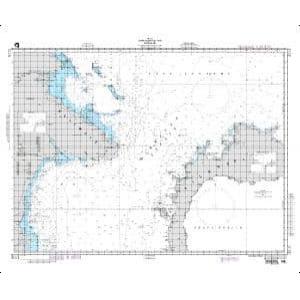
Australia, New Zealand, and Indonesia NGA charts are official maritime maps historically produced by the National Geospatial-Intelligence Agency to document the waterways, ports, and shipping routes of these southern maritime regions. They provide detailed hydrographic information including depth soundings, reef locations, harbor layouts, and offshore navigational routes. While no longer updated for active navigation, these charts remain valuable for reference, education, and decorative purposes.
Australia, New Zealand, and Indonesia NGA charts are official maritime maps historically produced by the National Geospatial-Intelligence Agency to document the waterways, ports, and shipping routes of these southern maritime regions. They provide detailed hydrographic information including depth soundings, reef locations, harbor layouts, and offshore navigational routes. While no longer updated for active navigation, these charts remain valuable for reference, education, and decorative purposes.
What Are the Different Types of Australia, New Zealand, and Indonesia NGA Charts?
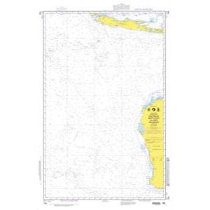
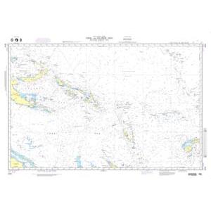
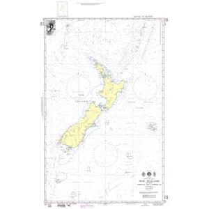
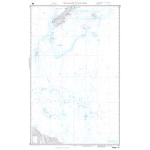
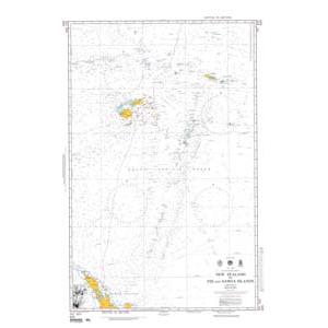
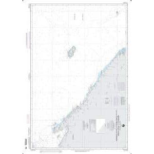
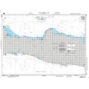
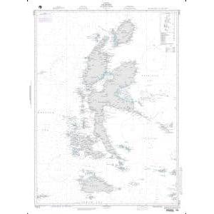
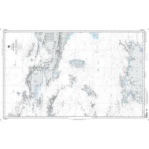
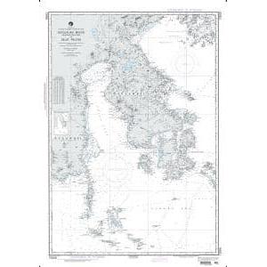
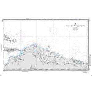
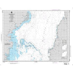
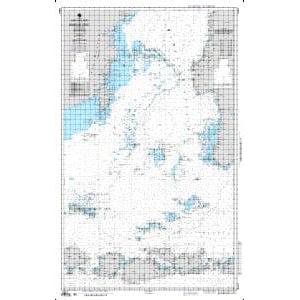
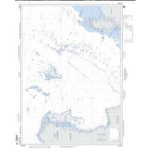
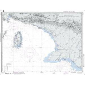
Our NGA chart collection includes maps of Australia’s extensive coastline, New Zealand’s North and South Islands, and Indonesia’s island chains. Charts cover major shipping routes through the Coral Sea, Tasman Sea, Arafura Sea, and Java Sea. They document key maritime chokepoints like Torres Strait and Lombok Strait, making them ideal for collectors, maritime historians, and authentic wall décor.
Our NGA chart collection includes maps of Australia’s extensive coastline, New Zealand’s North and South Islands, and Indonesia’s island chains. Charts cover major shipping routes through the Coral Sea, Tasman Sea, Arafura Sea, and Java Sea. They document key maritime chokepoints like Torres Strait and Lombok Strait, making them ideal for collectors, maritime historians, and authentic wall décor.
Are Australia, New Zealand, and Indonesia NGA Charts Updated?
No. NGA printed charts are no longer updated for modern navigation. They are preserved for their historical and cartographic value. If you want a printed chart with current information, we can create custom nautical charts using the latest digital maritime data. Create your custom chart here.
No. NGA printed charts are no longer updated for modern navigation. They are preserved for their historical and cartographic value. If you want a printed chart with current information, we can create custom nautical charts using the latest digital maritime data. Create your custom chart here.
What Areas Do Australia, New Zealand, and Indonesia NGA Charts Cover?
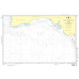
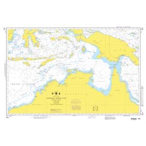
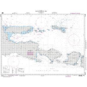
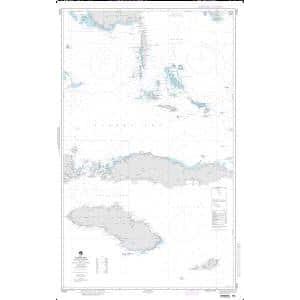
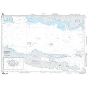
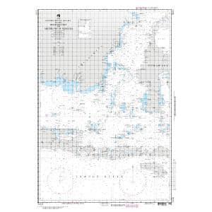
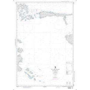
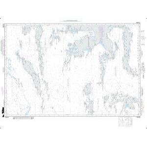
These NGA charts cover Australia’s entire coastline including the Great Barrier Reef, Gulf of Carpentaria, and southern ports. New Zealand charts detail both islands along with the Cook Strait and surrounding waters. Indonesian charts include Java, Sumatra, Bali, and hundreds of smaller islands with major shipping lanes through the Malacca Strait and Timor Sea. The charts also depict offshore reefs, fishing zones, and regional trade routes.
These NGA charts cover Australia’s entire coastline including the Great Barrier Reef, Gulf of Carpentaria, and southern ports. New Zealand charts detail both islands along with the Cook Strait and surrounding waters. Indonesian charts include Java, Sumatra, Bali, and hundreds of smaller islands with major shipping lanes through the Malacca Strait and Timor Sea. The charts also depict offshore reefs, fishing zones, and regional trade routes.
Can I Order a Custom Australia, New Zealand, or Indonesia Chart?
Yes. We can produce custom NGA charts focused on any location within these regions. Specify your preferred coastline, port, or shipping route, and we will create a chart tailored to your needs. Custom charts can be printed on standard or waterproof material and mounted or framed for professional-quality displays. Design your custom chart here.
Yes. We can produce custom NGA charts focused on any location within these regions. Specify your preferred coastline, port, or shipping route, and we will create a chart tailored to your needs. Custom charts can be printed on standard or waterproof material and mounted or framed for professional-quality displays. Design your custom chart here.
What Finishing Options Are Available?
Australia, New Zealand, and Indonesia NGA charts can be printed on standard bond paper or waterproof synthetic material. We offer mounting on foam board and professional framing services that transform these charts into durable, ready-to-hang artwork. Mounted charts are perfect for pin tracking, while framed charts create polished decorative pieces for offices, coastal homes, or yacht clubs. View finishing options here.
Australia, New Zealand, and Indonesia NGA charts can be printed on standard bond paper or waterproof synthetic material. We offer mounting on foam board and professional framing services that transform these charts into durable, ready-to-hang artwork. Mounted charts are perfect for pin tracking, while framed charts create polished decorative pieces for offices, coastal homes, or yacht clubs. View finishing options here.
Can I Find a Specific NGA Chart by Number?
Yes. Enter the chart number into the search bar at the top-right corner of our website to quickly locate it. You can also browse this category to visually explore all available NGA charts for Australia, New Zealand, and Indonesia.
Yes. Enter the chart number into the search bar at the top-right corner of our website to quickly locate it. You can also browse this category to visually explore all available NGA charts for Australia, New Zealand, and Indonesia.
What Makes Australia, New Zealand, and Indonesia NGA Charts Ideal for Decorative Use?
These charts showcase diverse and expansive maritime regions known for vibrant reefs, island chains, and bustling shipping routes. Their detailed cartography makes them excellent for framing and displaying in homes, offices, or yacht clubs. Selecting a chart of a meaningful port or sailing route adds a personalized, conversation-worthy wall piece.
These charts showcase diverse and expansive maritime regions known for vibrant reefs, island chains, and bustling shipping routes. Their detailed cartography makes them excellent for framing and displaying in homes, offices, or yacht clubs. Selecting a chart of a meaningful port or sailing route adds a personalized, conversation-worthy wall piece.
Why Buy Australia, New Zealand, and Indonesia NGA Charts from The Map Shop?
With over 30 years of experience, The Map Shop is a trusted source for printed maritime charts. We produce every NGA chart in-house in Charlotte, NC using high-quality materials and expert finishing techniques. Thousands of charts are available for quick printing, mounting, and framing, ensuring reliable service and premium results. Read reviews here or learn more about our company here.
With over 30 years of experience, The Map Shop is a trusted source for printed maritime charts. We produce every NGA chart in-house in Charlotte, NC using high-quality materials and expert finishing techniques. Thousands of charts are available for quick printing, mounting, and framing, ensuring reliable service and premium results. Read reviews here or learn more about our company here.