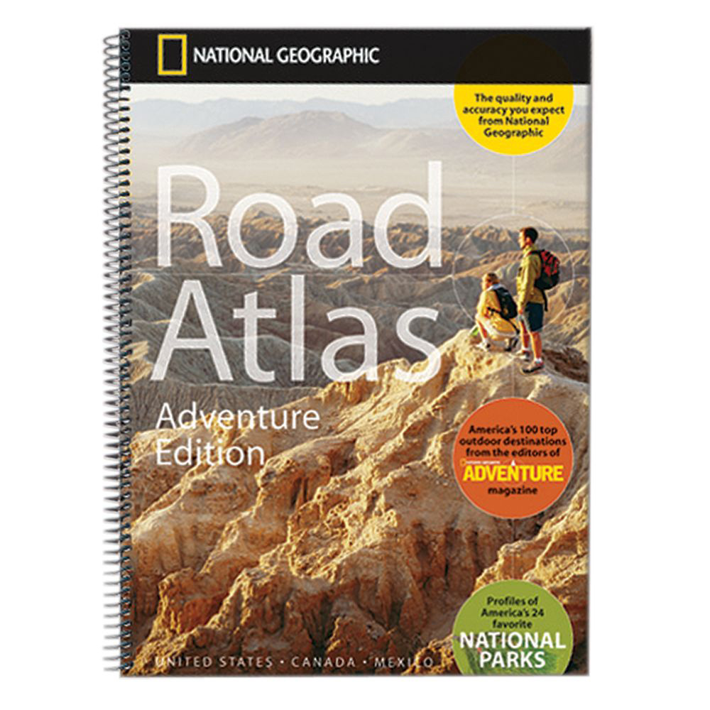
National Geographic – Road Atlas: Adventure Edition [United States, Canada, Mexico]
$24.95
Published: 2021
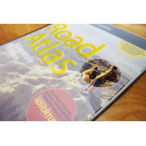
National Geographic’s Road Atlas: Adventure Edition, is the ideal companion for the next time you hit the road. Includes up-to-date road maps for all 50 U.S. States, plus Canada, Mexico, and Puerto Rico.
Published: 2021 || Map: 11″ x 15″
In stock
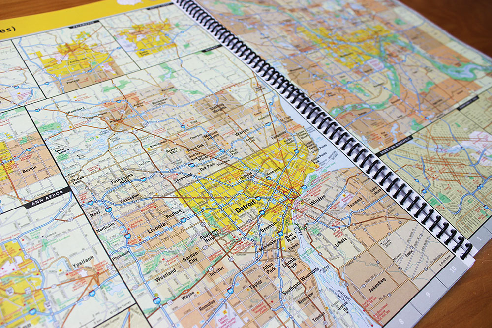
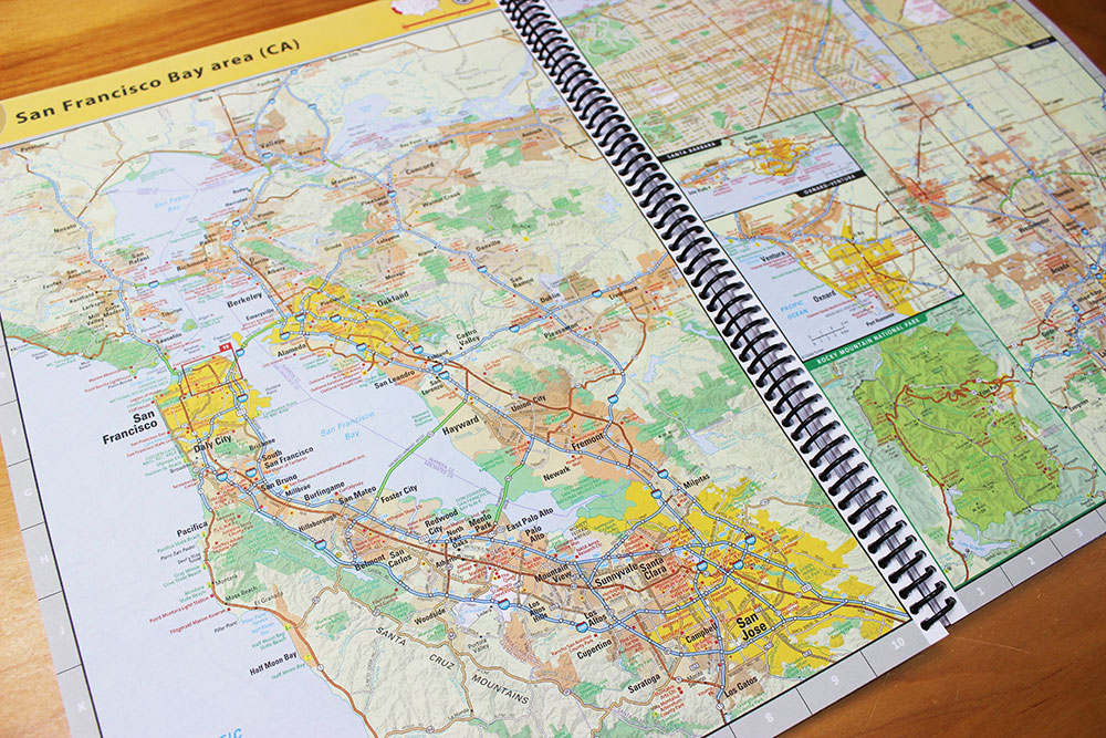
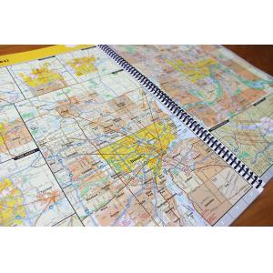
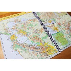
National Geographic’s Road Atlas: Adventure Edition, is the ideal companion for the next time you hit the road. Includes up-to-date road maps for all 50 U.S. States, plus Canada, Mexico, and Puerto Rico. Major cities and metropolitan areas are shown in detail with inset maps that include popular attractions, infrastructure, and points of interest.
Map Size: 11″ x 15″
Published: 2021
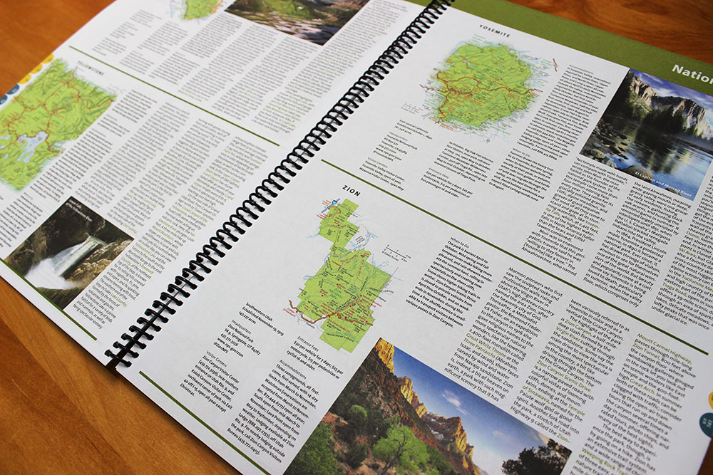
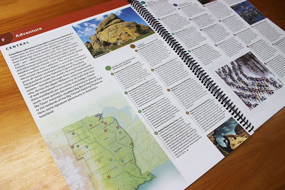
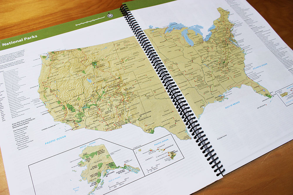
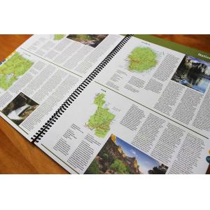
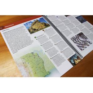
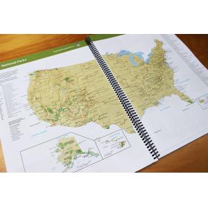
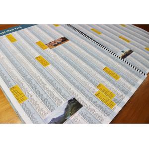
Setting this atlas apart from all other road atlases is the inclusion of detailed maps and guidebook-like recommendations on the top 100 destinations for adventure, plus the top 24 most visited National Parks. An additional resources section provides contact information for local tourism offices, plus a place name index to help easily locate a specific city.
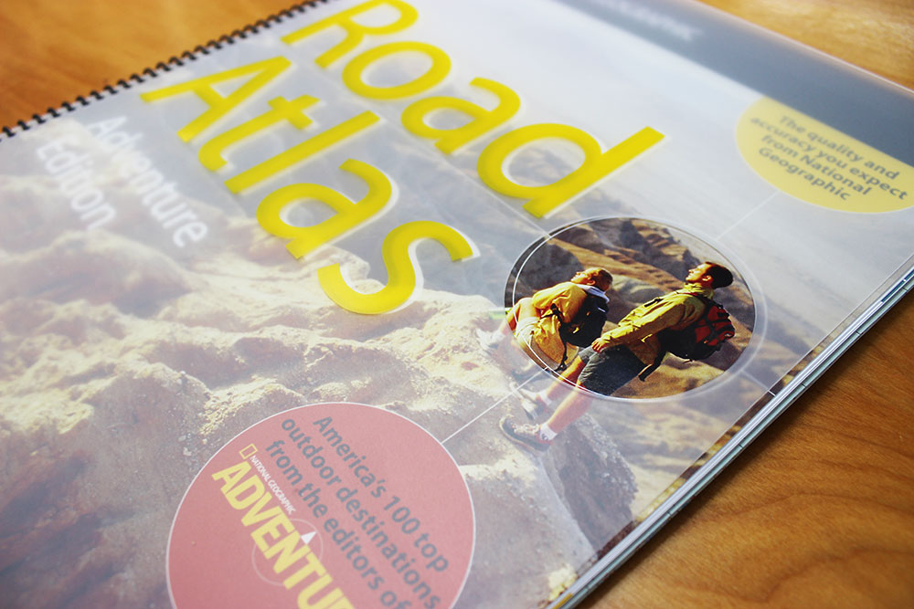
The Road Atlas: Adventure Edition is printed in North America and features a heavy-duty spiral binding and clear plastic cover for durability and lay-flat reading.
Why National Geographic
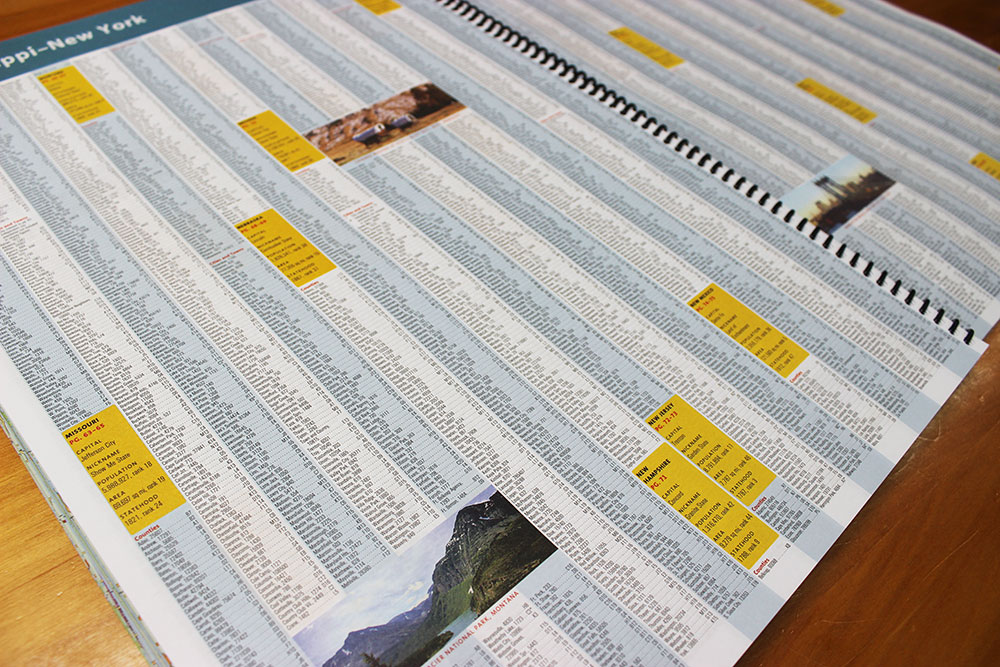
Travel across North America using easy-to-read, accurate maps showing highways, secondary roads, scenic routes, mileage markers, recreation areas, and points of interest. Navigate urban areas with detailed downtown city maps and metropolitan area insets. Take the guesswork out of traveling and trip planning with a comprehensive place name index, mileage charts, and cross-referenced pages. This atlas has the quality and accuracy you expect from an organization that has been mapping the world since 1915.
| Publisher | National Geographic |
|---|---|
| Language | English |
| Published | 2021 |
Whether you are getting a map as a piece of art or getting something to fit a business need, we can make it. A custom decorative map can tell a story of where you have been or where you want to go. It can be a great gift for someone or a unique piece of art for yourself.
On the business side, we have been making custom maps for companies around the world since 1996. Our customer list includes a wide range of organizations like Hollywood Studios, Homeland Security, Jehovah’s Witnesses, Harris Teeter, and Domino’s Pizza. We provide a wide variety of maps to fit any need your business will need. From territory map to a delivery map and everything in between, we can make it.
To reach out about a custom map, click HERE!

