What Are North America and Atlantic Ocean NGA Charts?
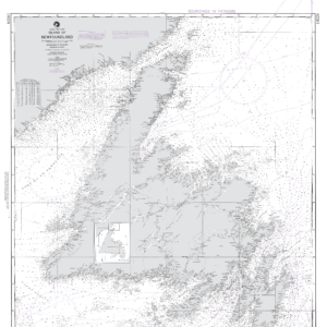
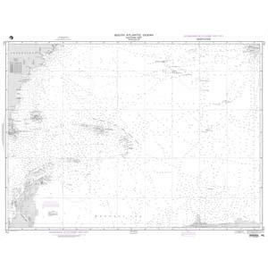
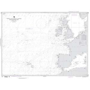
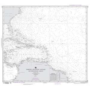
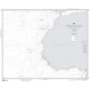
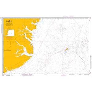
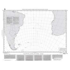
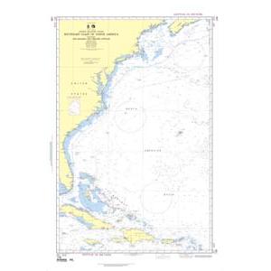
North America and Atlantic Ocean NGA charts are official maritime maps historically produced by the National Geospatial-Intelligence Agency to document coastlines, shipping routes, and ports across the North American continent and Atlantic Ocean. These charts provide detailed hydrographic information including depth soundings, harbor layouts, and navigational aids. While they are no longer updated for modern navigation, they remain valuable for reference, educational use, and decorative display.
North America and Atlantic Ocean NGA charts are official maritime maps historically produced by the National Geospatial-Intelligence Agency to document coastlines, shipping routes, and ports across the North American continent and Atlantic Ocean. These charts provide detailed hydrographic information including depth soundings, harbor layouts, and navigational aids. While they are no longer updated for modern navigation, they remain valuable for reference, educational use, and decorative display.
What Are the Different Types of North America and Atlantic Ocean NGA Charts?
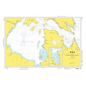
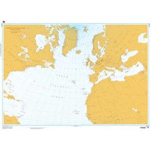
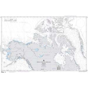
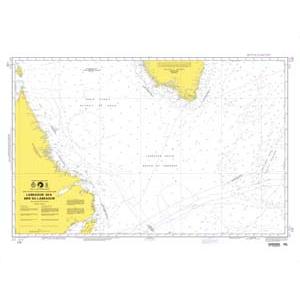
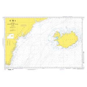
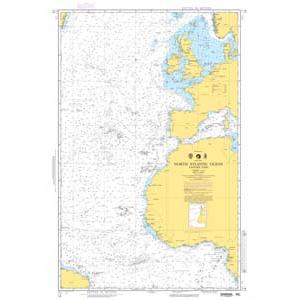
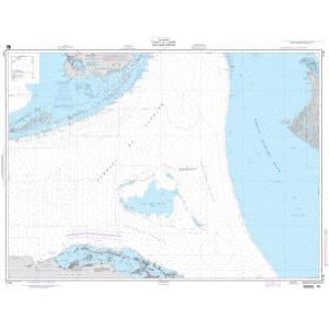
Our NGA chart collection includes maps covering the entire eastern seaboard of the United States, Canadian Atlantic provinces, the Gulf of Mexico, and major Caribbean islands. Offshore charts detail transatlantic shipping routes and deepwater fishing grounds. These charts are ideal for collectors, maritime educators, and as authentic wall décor in homes or offices.
Our NGA chart collection includes maps covering the entire eastern seaboard of the United States, Canadian Atlantic provinces, the Gulf of Mexico, and major Caribbean islands. Offshore charts detail transatlantic shipping routes and deepwater fishing grounds. These charts are ideal for collectors, maritime educators, and as authentic wall décor in homes or offices.
Are North America and Atlantic Ocean NGA Charts Updated?
No. NGA printed charts are no longer updated for navigation. They are preserved for their historical and cartographic value. For those seeking a chart with current data, we offer custom nautical charts generated from the latest digital maritime sources. Create your custom chart here.
No. NGA printed charts are no longer updated for navigation. They are preserved for their historical and cartographic value. For those seeking a chart with current data, we offer custom nautical charts generated from the latest digital maritime sources. Create your custom chart here.
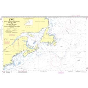
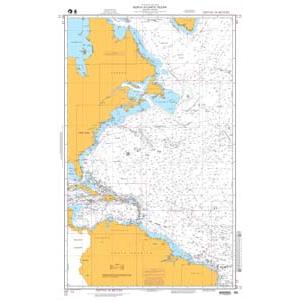
What Areas Do North America and Atlantic Ocean NGA Charts Cover?
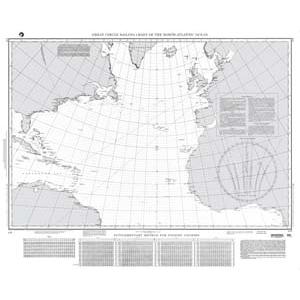
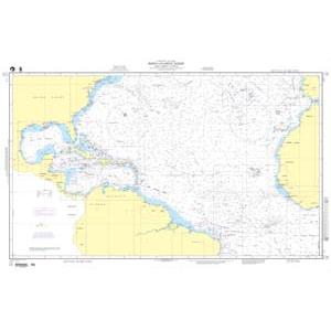
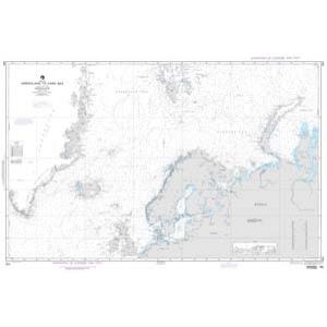
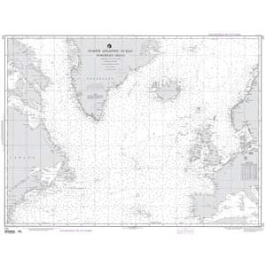
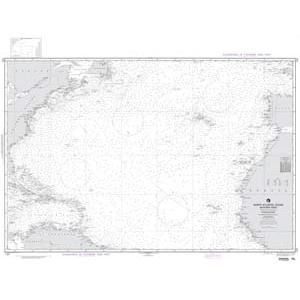
These NGA charts cover extensive maritime regions including the U.S. East Coast from Maine to Florida, Canadian Atlantic provinces like Nova Scotia and Newfoundland, Gulf of Mexico waters, and Caribbean island ports. They also depict offshore shipping routes that cross the Atlantic Ocean toward Europe and Africa.
These NGA charts cover extensive maritime regions including the U.S. East Coast from Maine to Florida, Canadian Atlantic provinces like Nova Scotia and Newfoundland, Gulf of Mexico waters, and Caribbean island ports. They also depict offshore shipping routes that cross the Atlantic Ocean toward Europe and Africa.
Can I Order a Custom North America or Atlantic Ocean Chart?
Yes. We can create a custom NGA chart focused on any location within North America or the Atlantic Ocean. Specify your preferred port, coastline, or transatlantic route, and we will produce a chart tailored to your needs. Custom charts can be printed on paper or waterproof material and finished with mounting or framing. Design your custom chart here.
Yes. We can create a custom NGA chart focused on any location within North America or the Atlantic Ocean. Specify your preferred port, coastline, or transatlantic route, and we will produce a chart tailored to your needs. Custom charts can be printed on paper or waterproof material and finished with mounting or framing. Design your custom chart here.
What Finishing Options Are Available?
North America and Atlantic Ocean NGA charts can be printed on standard bond paper or waterproof synthetic material. We offer mounting on foam board and professional framing services to transform these charts into durable, ready-to-hang artwork. Mounted charts are ideal for pin tracking, while framed versions provide a polished, decorative display. View finishing options here.
North America and Atlantic Ocean NGA charts can be printed on standard bond paper or waterproof synthetic material. We offer mounting on foam board and professional framing services to transform these charts into durable, ready-to-hang artwork. Mounted charts are ideal for pin tracking, while framed versions provide a polished, decorative display. View finishing options here.
Can I Find a Specific NGA Chart by Number?
Yes. Use the search bar at the top-right corner of our website to quickly find a specific chart by number. You can also browse this category to visually explore all available NGA charts for North America and the Atlantic Ocean.
Yes. Use the search bar at the top-right corner of our website to quickly find a specific chart by number. You can also browse this category to visually explore all available NGA charts for North America and the Atlantic Ocean.
What Makes North America and Atlantic Ocean NGA Charts Ideal for Decorative Use?
These charts showcase diverse coastlines, busy shipping lanes, and historic Atlantic trade routes. Their detailed cartography makes them perfect for framing and displaying in offices, homes, or maritime company spaces. A chart of a meaningful port or transatlantic route adds a personalized, conversation-worthy decorative piece.
These charts showcase diverse coastlines, busy shipping lanes, and historic Atlantic trade routes. Their detailed cartography makes them perfect for framing and displaying in offices, homes, or maritime company spaces. A chart of a meaningful port or transatlantic route adds a personalized, conversation-worthy decorative piece.
Why Buy North America and Atlantic Ocean NGA Charts from The Map Shop?
With over 30 years of experience, The Map Shop is a trusted provider of printed maritime charts. We produce every NGA chart in-house in Charlotte, NC using high-quality materials and expert finishing techniques. Thousands of charts are available for quick printing, mounting, and framing, ensuring reliable service and premium results. Read reviews here or learn about our company here.
With over 30 years of experience, The Map Shop is a trusted provider of printed maritime charts. We produce every NGA chart in-house in Charlotte, NC using high-quality materials and expert finishing techniques. Thousands of charts are available for quick printing, mounting, and framing, ensuring reliable service and premium results. Read reviews here or learn about our company here.