
5 stars, got all the maps i ordered without any problems. Thanks!
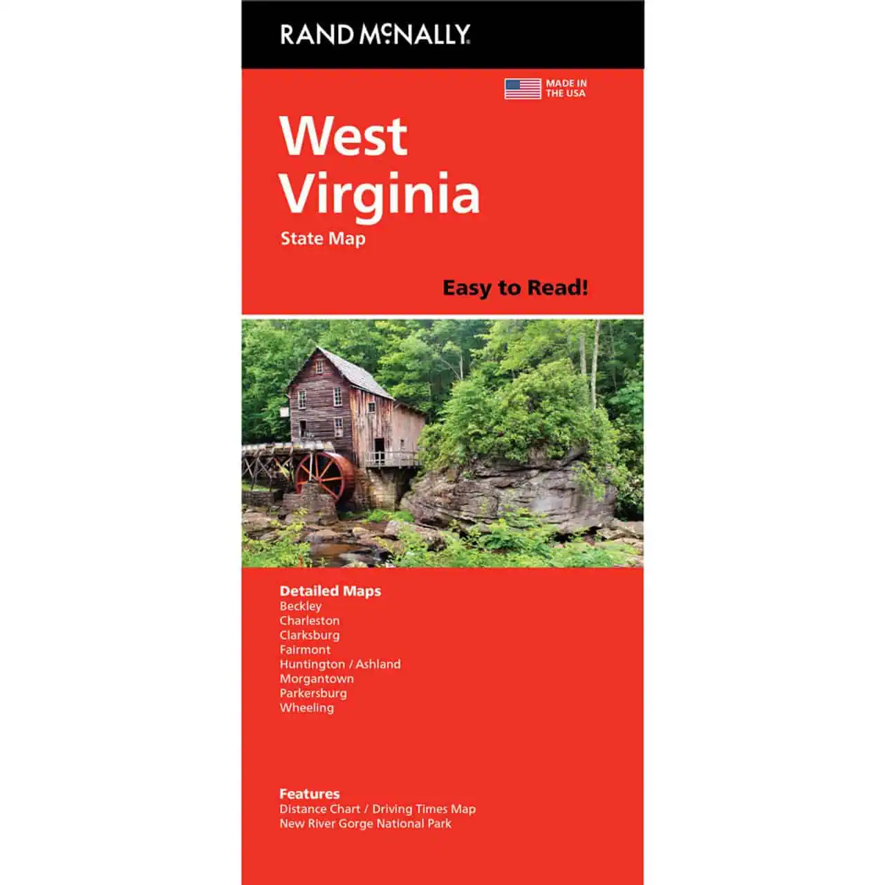
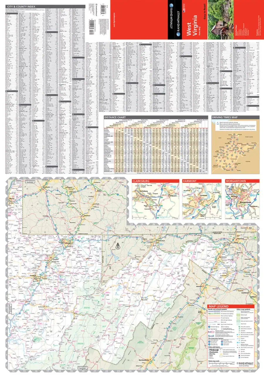
 Rand McNally – West Virginia, Easy to Read – Folding Travel Map



$9.99
The durable and convenient Rand McNally maps will take all the wear and tear your journey can dish out.
In stock
West Virginia Easy to Read Folding Travel Map by Rand McNally
Rand McNally prints this edition larger, with bigger type than its standard folded map. Cell signal drops fast in the mountain hollows, so paper still earns its glove-box spot.
Road trippers on U.S. 60, New River Gorge visitors, and sales reps covering the Northern Panhandle keep one within reach. Older drivers who find standard road maps hard to read appreciate the larger type. Map Shop ships it folded and ready for the road.
| Reporting Category | Retail |
|---|---|
| Product Category | Folding Maps |
| Average Cost | 3.596 |
| Label 0 - Google Product Category | LP – Travel Maps, Atlases & Books |
| Publisher | Rand McNally |
| Days to Ship | 3 |
| Print on Demand | NO |
| Size | 28" x 40" |
| Published | 2021 |
| Map Type | Folding Map |
5 stars, got all the maps i ordered without any problems. Thanks!
Rand McNally – West Virginia, Easy to Read – Folding Travel Map
Great old fashioned product and old fashioned service
Rand McNally – West Virginia, Easy to Read – Folding Travel Map