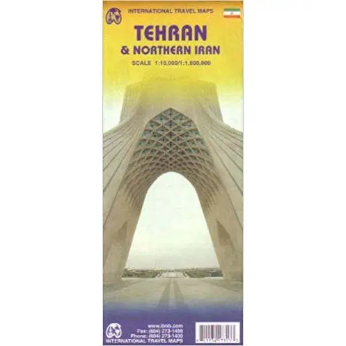
Tehran Travel Map
Tehran rebuilds itself faster than most reference maps can keep up: new subway lines, expressways, hotels, and schools arrive year after year. This folding travel map was the first city map of the Iranian capital published outside the country, researched and drawn by the ITMB team in Vancouver. Turn it over and you have a detailed sectional map of the northern half of Iran, the ground between the Caspian coast and the Iranian plateau.
ITMB prints on paper built for real trips, folded and unfolded in taxis, buses, and hotel lobbies. Cell coverage runs out and phone screens make lousy planning tools, so travelers, overland road trippers, and glove box readers keep a paper sheet like this within reach.
Map Shop stocks this map for those heading to Iran on their own itinerary.

