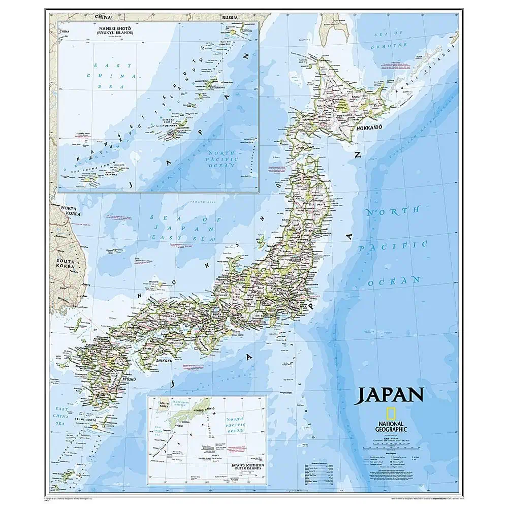
Japan Wall Map – National Geographic Classic Style
A Japan wall map in the National Geographic Classic style, with a bright palette, clean borders, and the shaded relief that has defined their wall maps for more than 75 years. Mountain spines run the length of Honshu and Kyushu, and the ocean floor is drawn in as carefully as the land.
- Published by National Geographic in its Classic cartographic style.
- Thousands of place names labeled, with accurate political boundaries.
- National parks and major infrastructure shown: roads, highways, airports, and railroads.
- Coastal bathymetry rendered with depth curves and soundings.
- Inset maps detail Japan’s Southern Outer Islands and the Ryukyu Islands.
- Includes information on the 2011 Tohoku earthquake and tsunami.
- Laminated option encapsulates the print in heavy-duty 1.6 mil film, resisting humidity swings and allowing glass-free framing.
Map Shop finishes each one to order.

