
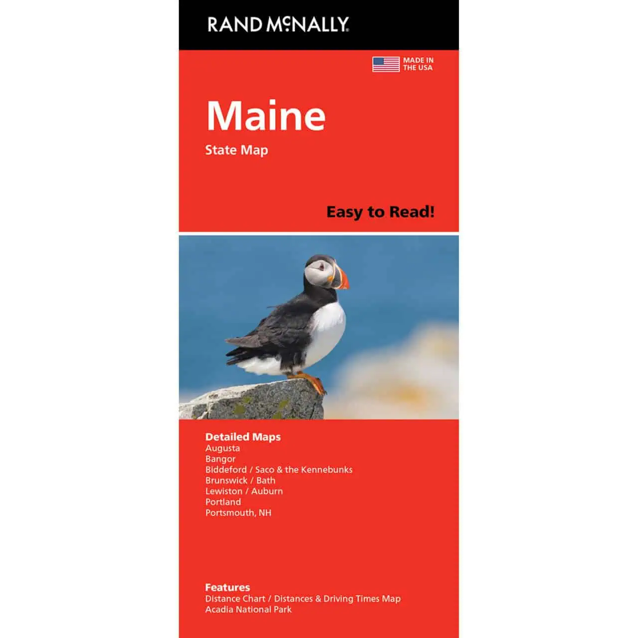
Maine Folding Travel & Road Map by Rand McNally
$9.99
Rand McNally’s Easy to Read series offers unbeatable accuracy and reliability at a great price.
In stock
Normally ships in: 2-3 days.
$9.99
Maine Easy To Read Road Map by Rand McNally
A road map from Rand McNally’s Easy To Read series, printed larger with bigger type so towns and route numbers are easy to read. Available from Map Shop.
| Publisher | Rand McNally |
|---|---|
| Language | English |
| Print Series | |
| Published | 2023 |