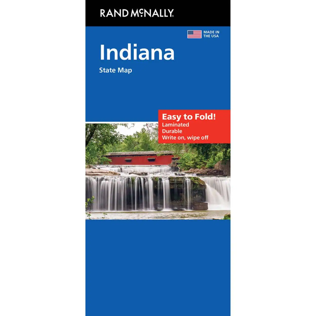
Indiana Easy to Fold Map
A folding travel map from Rand McNally’s Easy to Fold series, designed to open one section at a time so you can study the Indianapolis area or the Ohio River corridor without spreading out the whole sheet.
- Territory covers the full state of Indiana, from the Lake Michigan shoreline near Gary to Evansville on the Ohio River
- Major cities include Indianapolis, Fort Wayne, South Bend, Bloomington and Lafayette
- Highways clearly marked, including the I-65, I-69 and I-70 corridors and the Indiana Toll Road
- County boundaries shown for all 92 Indiana counties
- Points of interest labeled across the state
- Quick-reference legend and city index for finding smaller towns fast
- Full-color cartography
Map Shop stocks this as a dependable road reference for residents and visitors, including a reliable paper backup when cell service drops in rural areas.


