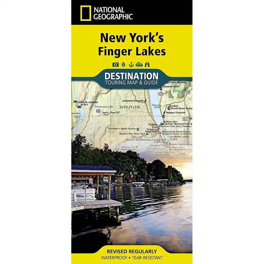
Finger Lakes Folding Travel Map
This National Geographic folding travel map covers the glacial lake country of central New York, where Cayuga and Seneca cut deep south to north and vineyards climb the slopes above them. It reads as much like a guidebook as a map.
- Published by National Geographic Maps, part of the Destination Map series.
- Front side carries a topographic map of the Finger Lakes region with road networks.
- Inset covers the town of Ithaca, home to Cornell University.
- Reverse holds insets on regional history, geology, and outdoor activities.
- Places to visit are detailed, including historic and cultural attractions, farms, and wineries.
- Printed on synthetic paper that is waterproof and tear resistant.
- Folds flat for a glove box, day pack, or jacket pocket.
Road trippers working the wine trails, hikers heading for the gorges, and anyone touring the region without steady cell service will use this one hard. Map Shop ships it ready to fold out on the hood of the car.


