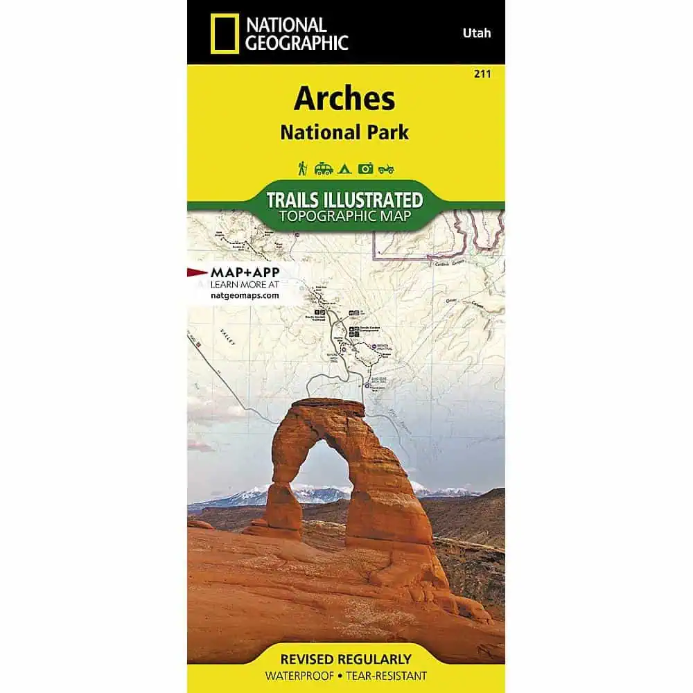
Arches National Park Trail Map
Part of National Geographic’s Trails Illustrated topographic series, this map covers Arches National Park and its more than 2,000 natural stone arches. Developed with local land management agencies, it works where cell signal fails, printed on waterproof, tear-resistant Backcountry Tough paper.
- Publisher: National Geographic, Trails Illustrated series
- Scale: 1:35,000
- Coverage: Arches National Park, Salt Valley, and Sand Flats Recreation Area near Moab
- Labeled areas: Devils Garden, the Windows Section, the Sovereign area, Wolfe Ranch
- Trails clearly marked with mileage between intersections
- Colorado River mileage for boaters
- Trail and road summaries with location, starting point, duration, and difficulty
- Mountain bike trails color-coded by difficulty; motorcycle and ATV use noted
- Contour lines and summit elevations
- Campgrounds, picnic areas, river access, interpretive trails, and points of interest
- Notes on park geology, archeology, history, and culture, plus regulations and contacts
- Full UTM grid for GPS users
Map Shop stocks this map for visitors planning routes before they reach the park gate.


