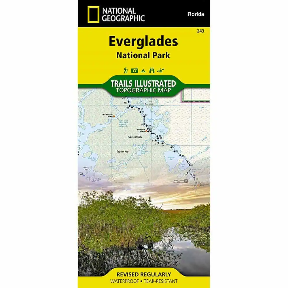
Everglades National Park Trail Map
Everglades National Park trail map from National Geographic’s Trails Illustrated topographic series, covering South Florida’s mangrove backcountry from Everglades City to Key Largo. Canoeists, kayakers, backcountry campers and day hikers carry it as a waterproof backup for places where GPS and cell signal drop out.
- Published by National Geographic, Trails Illustrated series
- Developed with the National Park Service and other land managers
- Scale: 1:100,000, with a full UTM grid for GPS use
- Coverage: the park plus parts of Big Cypress National Preserve, John Pennekamp Coral Reef State Park and Cape Romano-Ten Thousand Islands Aquatic Preserve
- Also covers: Florida Bay, Whitewater Bay, Barnes Sound, Ponce de León Bay, Cape Sable and the Ten Thousand Islands
- Insets: Flamingo, Whitewater Bay, Nine Mile Pond and the Pineland Trails of Long Pine Key
- Paddling: canoe trails and the full 99-mile Wilderness Waterway with NPS markers, backcountry campsites and chickees
- Whitewater Bay detail: Coast Guard markers, sounding depths and sub-surface conditions
- Land cover: mangroves, hardwood hammocks, marshes, sawgrass prairies and wildlife protection areas
- Trails: hiking trails with mileage markers, plus bike and interpretive trails
- Facilities: marinas, boat launches, showers and restrooms
- Selected waypoints and color-coded national park, national preserve and state park boundaries
- Printed on waterproof, tear-resistant Backcountry Tough paper


