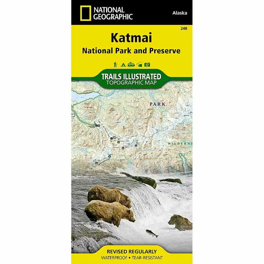
Katmai National Park Map – Trails Illustrated
This Katmai National Park map from National Geographic’s Trails Illustrated series was researched with the National Park Service and covers Katmai National Park and Wilderness, Katmai National Preserve, Becharof National Wildlife Refuge and Wilderness, the McNeil River State Game Sanctuary and Refuge, and the waters of Shelikof Strait. Insets add detail for the Alagnak Wild River and the Valley of Ten Thousand Smokes.
Features include:
- Landing areas, seaplane bases, and anchorage sites for floatplane travelers
- Trails, primitive routes, contour lines, labeled peaks, and waypoints
- Color-coded land designations
- Ranger stations, campgrounds, public cabins, and trail shelters
- Bear encounter guidelines and wilderness safety notes
- Full UTM grid for GPS use
- Printed on waterproof, tear-resistant Backcountry Tough paper


