Custom Maps FOR Decoration

You can buy a map from a lot of different places, but I want to make a map that means something to you! A personalized, custom gift that you can’t get from anywhere else. A custom map can tell a story of where you have been or where you want to go. It can be a great gift for someone or a unique piece of art for yourself! With a variety of styles and sources at our fingertips, we can make a map that fits any need!

Getting Started

As you can see from scrolling below, we have some personalized maps and art pieces to use as a starting point. For the majority of our map sources the colors, text, size, and overlays can all be changed to your preferences! Or, if you don’t see exactly what you want, we can make a fully custom map.

Traveler Map

Great gift for the big traveler in your life. Or a great gift for yourself if you are that traveler. Customize the colors, the size, the finishing option, and the tagline. We can plot the places that you have traveled on there for you or you can get the custom map mounted and use our Moore Map pins to pin them with an added effect.

This particular example was created to a customers exact specifications. And we can do the same for you.

More Information
Vintage American adventure map, detailed US travel and road maps, national parks, landmarks, travel planning, American road trip cartography, The Map Shop.
Detailed topographic map of Leadville, Colorado showcasing outdoor trail routes and hiking paths from The Map Shop, perfect for hiking enthusiasts and adventure travelers.
Idaho National Laboratory, Los Alamos Laboratory, Missouri University of Science and Technology, Oak Ridge National Laboratory, and Penn State University map with years of collaborations.
Detailed world map highlighting global regions for map and atlas shopping on The Map Shop website.
Map of the United Kingdom showing bike tour routes, highlighting scenic coastal paths and city stops, perfect for planning bike trips across England, Scotland, Wales, and Ireland.

CUSTOM NAUTICAL CHARTS

Choose from numerous nautical charts to start as the base. Cropping, filters, and nautical icons can be included for numerous effects. NOAA has a ton of maps to choose from, which you can find on our site. Find the right chart for you and then we can customize it to make it look like a unique piece of art. We also have international charts by NGA to choose from.

More Information
Detailed nautical chart of Rogers Playground at High Island, Texas, showing depth measurements, navigation aids, and maritime routes for safe boating and maritime navigation.
Old nautical chart of Cape Fear, North Carolina with detailed maritime navigation information and vintage ship illustration.
Detailed bath creek navigation chart with depth contours, topographic features, and navigational aids, ideal for maritime navigation and chart reading.
Detailed nautical and navigational chart of Atlantic City featuring maritime routes, landmarks, and navigation aids, perfect for sailors, boaters, and maritime enthusiasts.
Maritime navigation chart of Manatee River Extension, Florida, showing detailed depth contours, navigation aids, bridges, and shoreline features for boating and marine navigation.

CUSTOM TOPO MAPS

A more personal touch to showcase you or someone you know’s location or hometown. Using USGS Topo maps, we can choose one that will cover the area you need.

Mark a location with one of our customizable icons or make a unique piece using their great historical maps featuring our home or our cabin or anything you can think of.

More Information
Detailed Boston city map showing roads, neighborhoods, and landmarks for urban navigation and travel planning.
Detailed map artwork featuring stylized city maps and geographic illustrations, showcasing the creative custom map designs offered by The Map Shop.
Field map of the region with topographical details and highlighted locations, suitable for outdoor navigation, hiking, and topographic map enthusiasts.

Custom Map Art

Custom city or state maps are great for anybody who cares about where they’re from. Celebrate your current city, your old hometown, or where your next adventure will take place. We can customize the look and feel of these maps to match any style. Focus on one city or have a collage of multiple areas.

We can make this look exactly how you had it planned in your head.

More Information
Detailed city street map with roads, parks, and waterways, highlighting transportation routes and urban infrastructure for navigation and geographic reference.
Culver City map highlighting major landmarks like Culver City Middle School, High School, Veteran's Park, The Plunge, Ballona Creek, and notable streets for navigation and local exploration.
Detailed map of Santa Marta Colombia, showing streets, neighborhoods, parks, and coastal areas for travel planning and navigation. High-quality map for tourists and residents alike.
1458F University Village Ames IA city maps with home marker, topographic and road detail, ideal for real estate and navigation.

Popular Maps for Gifts

Great gift for loved ones who are in another state and you want to show that you guys are still connected no matter the distance. With a variety of styles and options, we can definitely get exactly what you are looking for! 

Hearts Divided – Great for weddings or anniversary gifts. A customizable tagline at the bottom can be added with either two names and a date or a quote that means something.

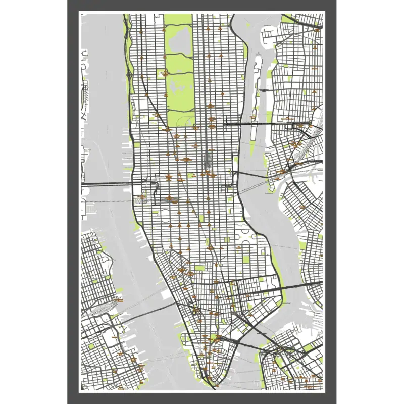
Single State City Fill – Take any city and place it in the state that it corresponds with or use a city from another state to showcase where you are and where you’re from.

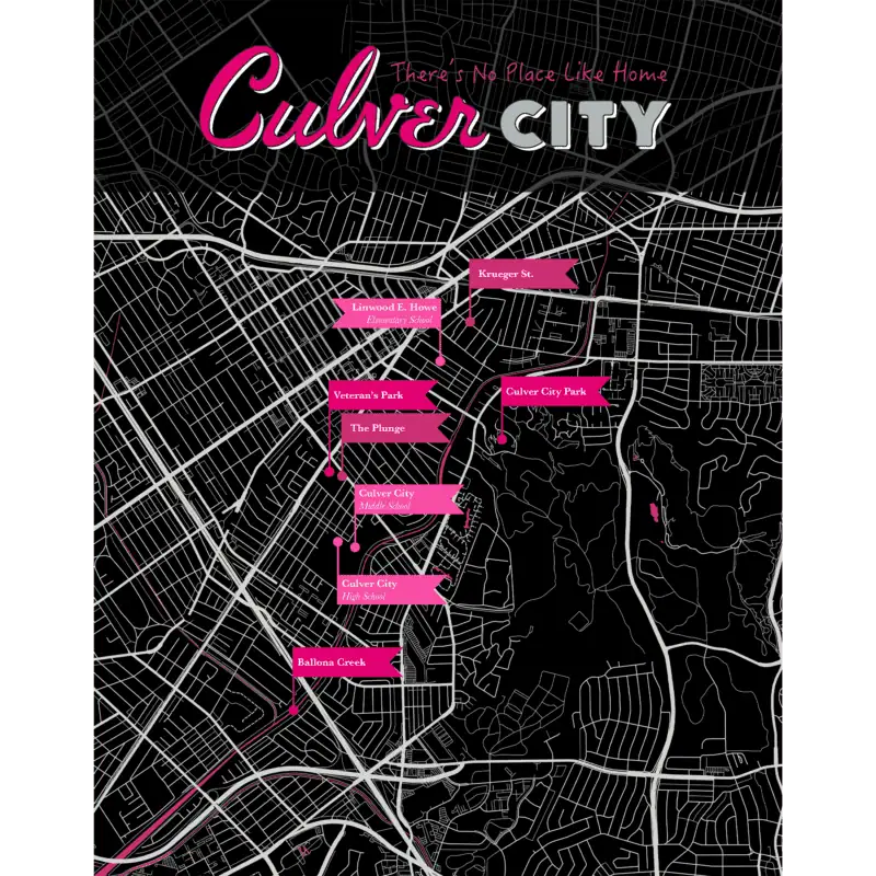
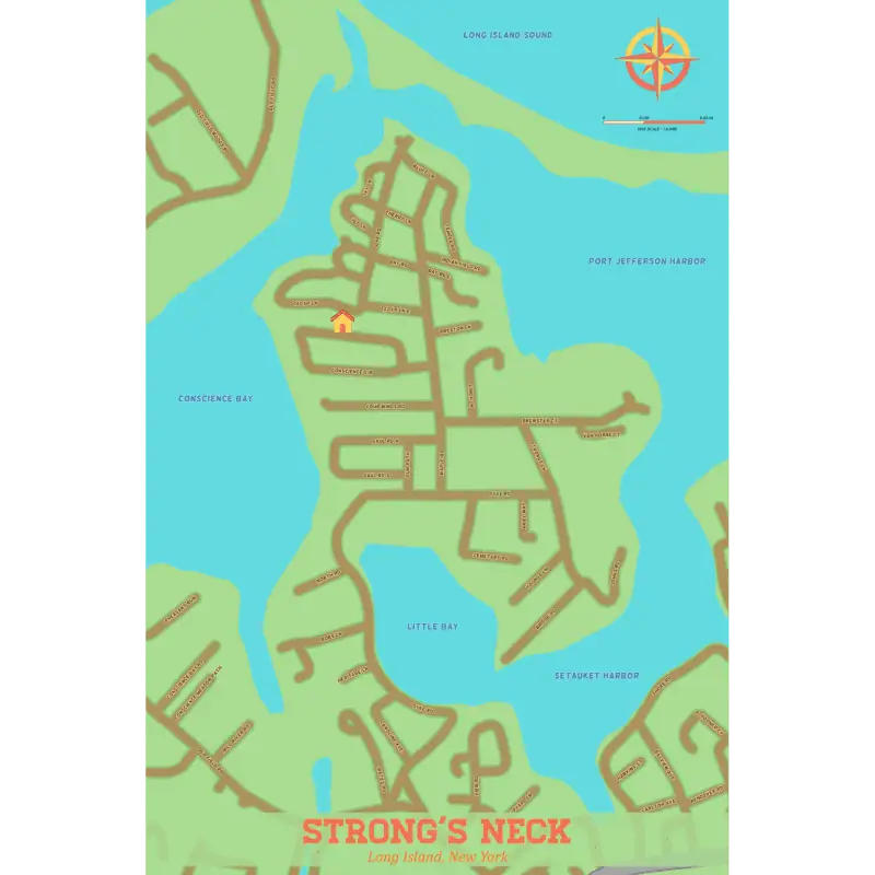
Single State Marker – Choose from any state or country and mark your hometown. The background color can be changed to your preference. Also, the colors for the type, quote, and banner can be changed as well.

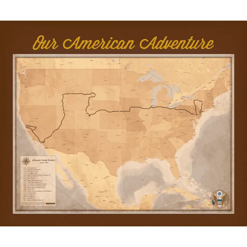
Marker Maps – These maps can showcase journeys all across the world. Show places you’ve visited, places you’ve lived, or places where loved ones are.

We’re Connected – Great gift for loved ones who are in another state or country and you want to show that you guys are still connected no matter the distance. We can go with a quote like the one in the sample or with two names or families.


With all of these maps styles listed above the colors, text, overlays, banners, and icons can be changed to fit your perfect vision!

More Information
Detailed map of Hyco Lake showing water bodies, roads, and surrounding area for outdoor recreation and navigation.
Road trip map from The Map Shop showing a 1,500-mile route with hearts marking destinations across the United States. Perfect for travel planning, map enthusiasts, and adventure seekers.
Heart-shaped map of Lake Pend Oreille and Sand Point, featuring detailed navigation and topographic information for outdoor adventure and travel planning.
Peru and Florida map with dotted route connecting Lima to Miami, featuring heart icons emphasizing travel or relationship between the locations, with names listed in the bottom right corner.
Heartfelt map of the United States showing a road trip connecting key cities, emphasizing travel, navigation, and maps.
Detailed map of Katy, Texas with street layouts and geographic features, ideal for travel planning, navigation, and outdoor activities. Perfect for map enthusiasts and local residents.
Detailed city road maps of Cuzco, Washington DC, Boston, and Mendoza showing street layouts and geographic features for navigation and travel planning.

OTHER UNIQUE OPTIONS

Looking for something a little more specific to your vision. Check out some of our pieces that we made to fit the customers requests entirely! 

With hundreds or sources, colors, fonts, overlays, and so much more we can make your dream map come true. 

More Information
Satellite map of East Paktika Province, Afghanistan, showing terrain, villages, and military bases with labels for strategic navigation and geographic reference.
Map of Strong's Neck, Long Island, New York, featuring detailed road layouts and water bodies including Conscience Bay and Little Bay, ideal for local navigation and outdoor planning.
Detailed digital map showcasing city streets, waterways, and neighborhood layouts for accurate navigation and geographic reference. Perfect for map enthusiasts, travelers, and local explorers.
Map shop illustrated city map with colorful landmarks, parks, roads, and transportation routes for easy navigation and exploration.